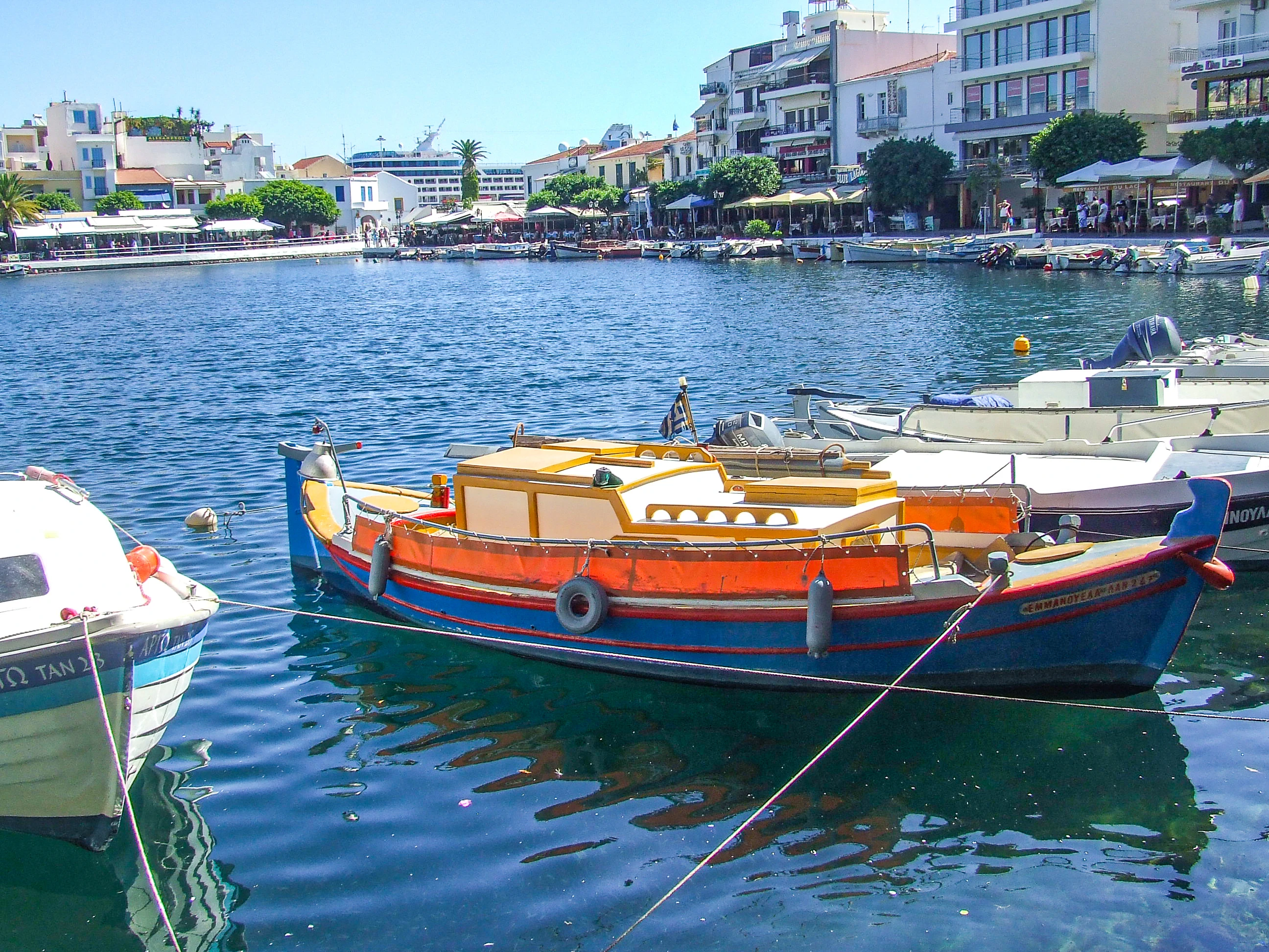
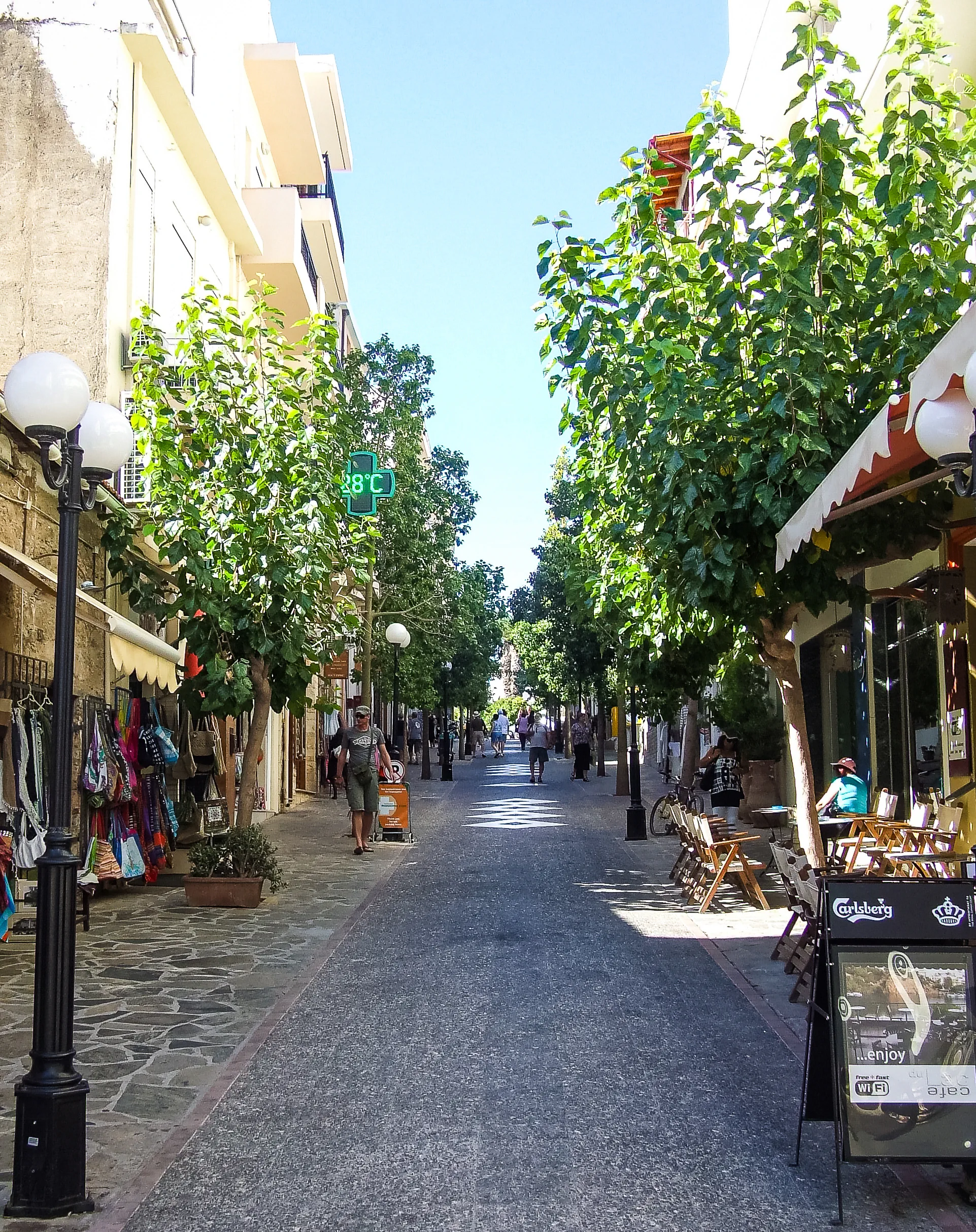
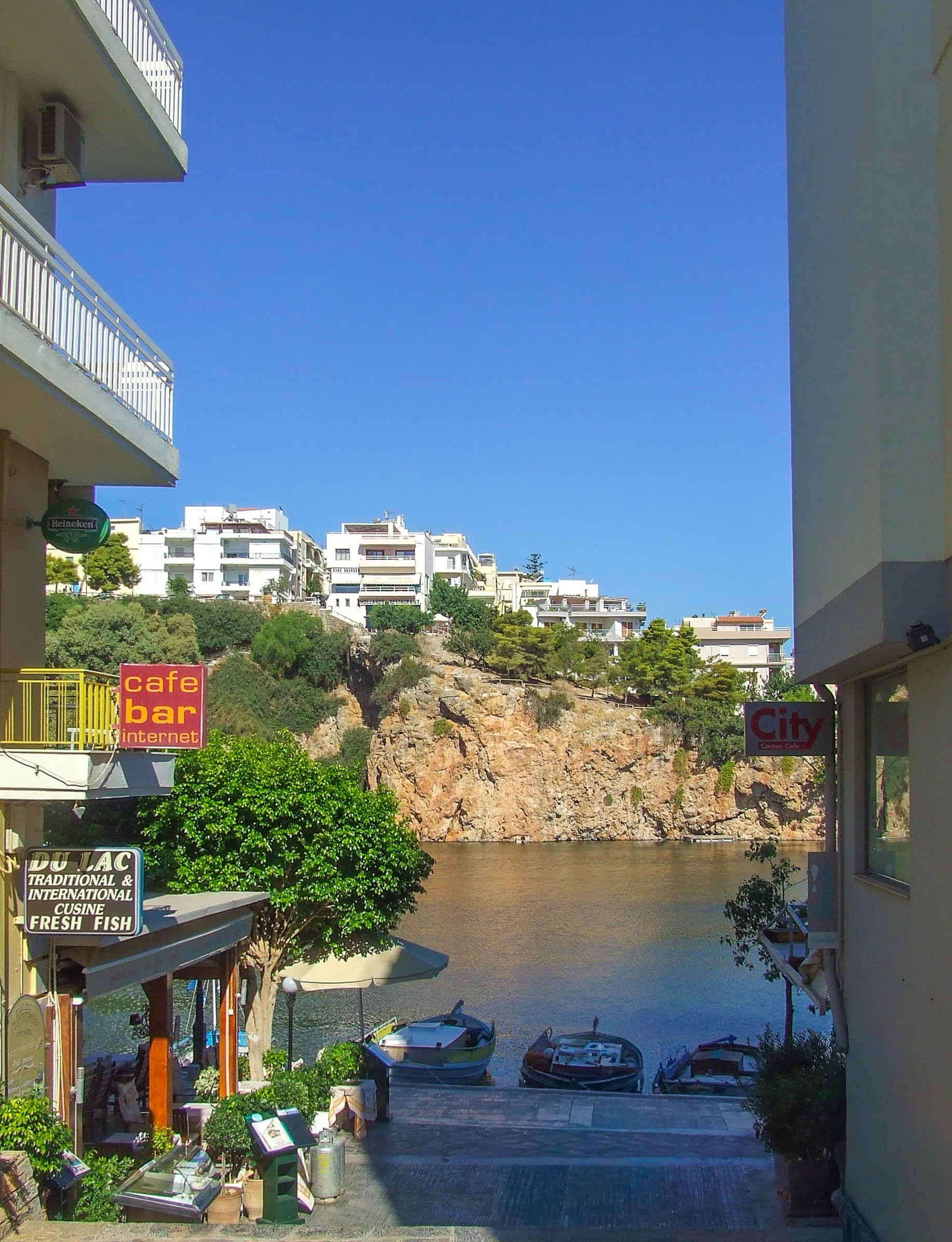
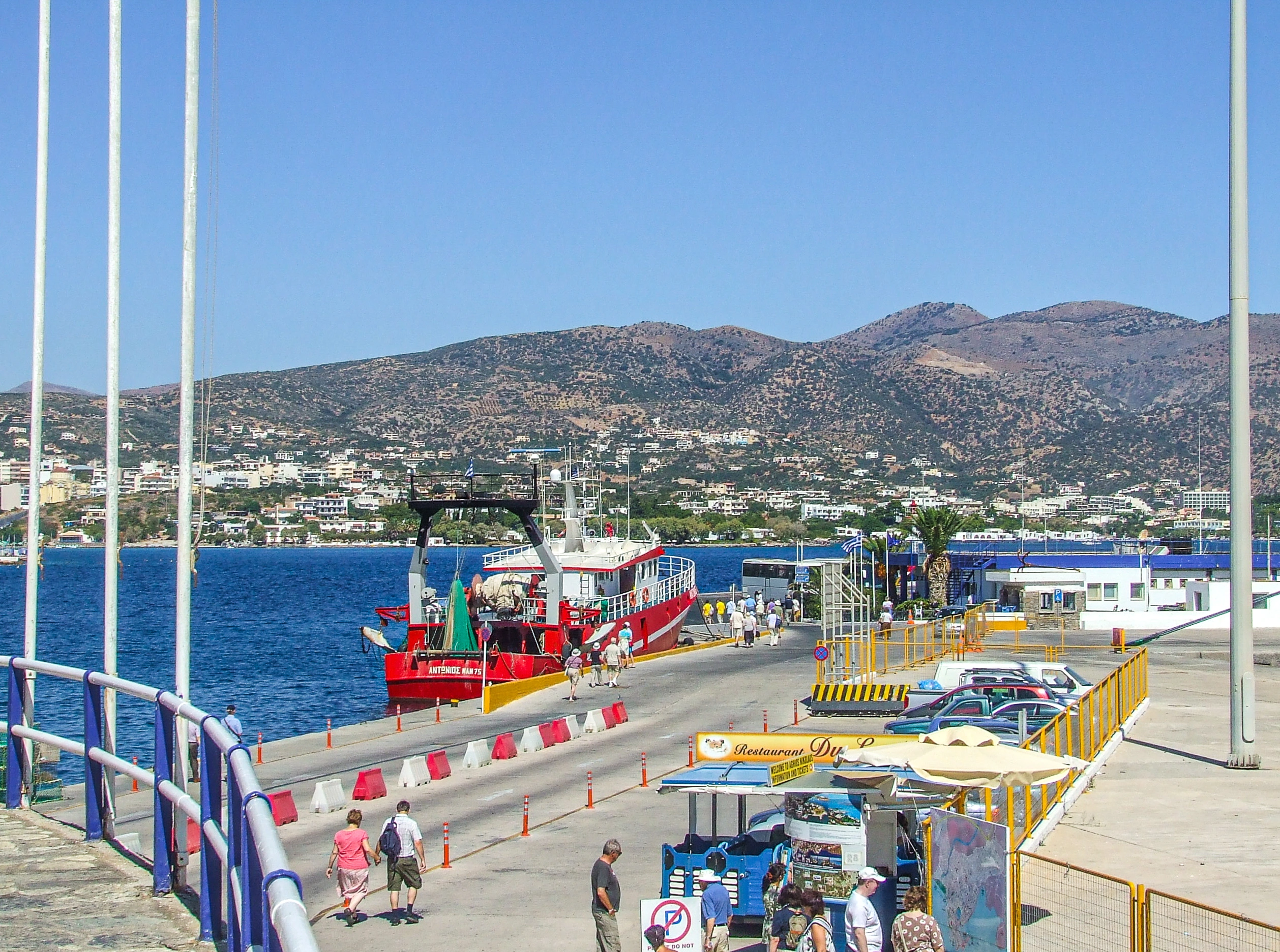
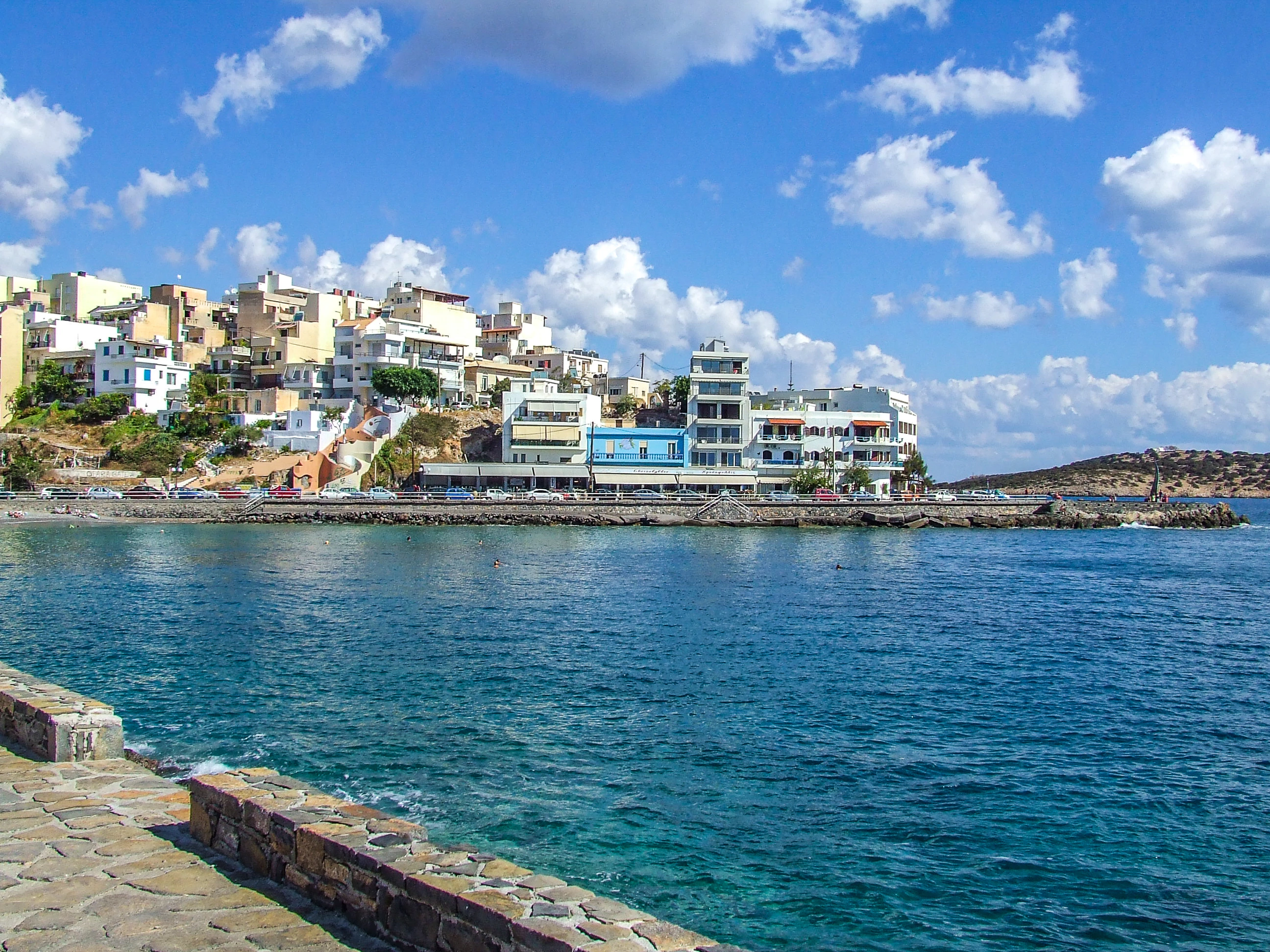
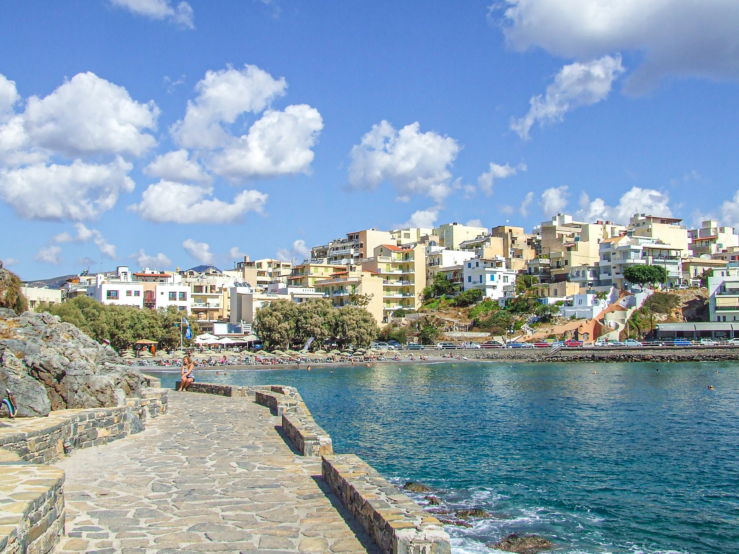
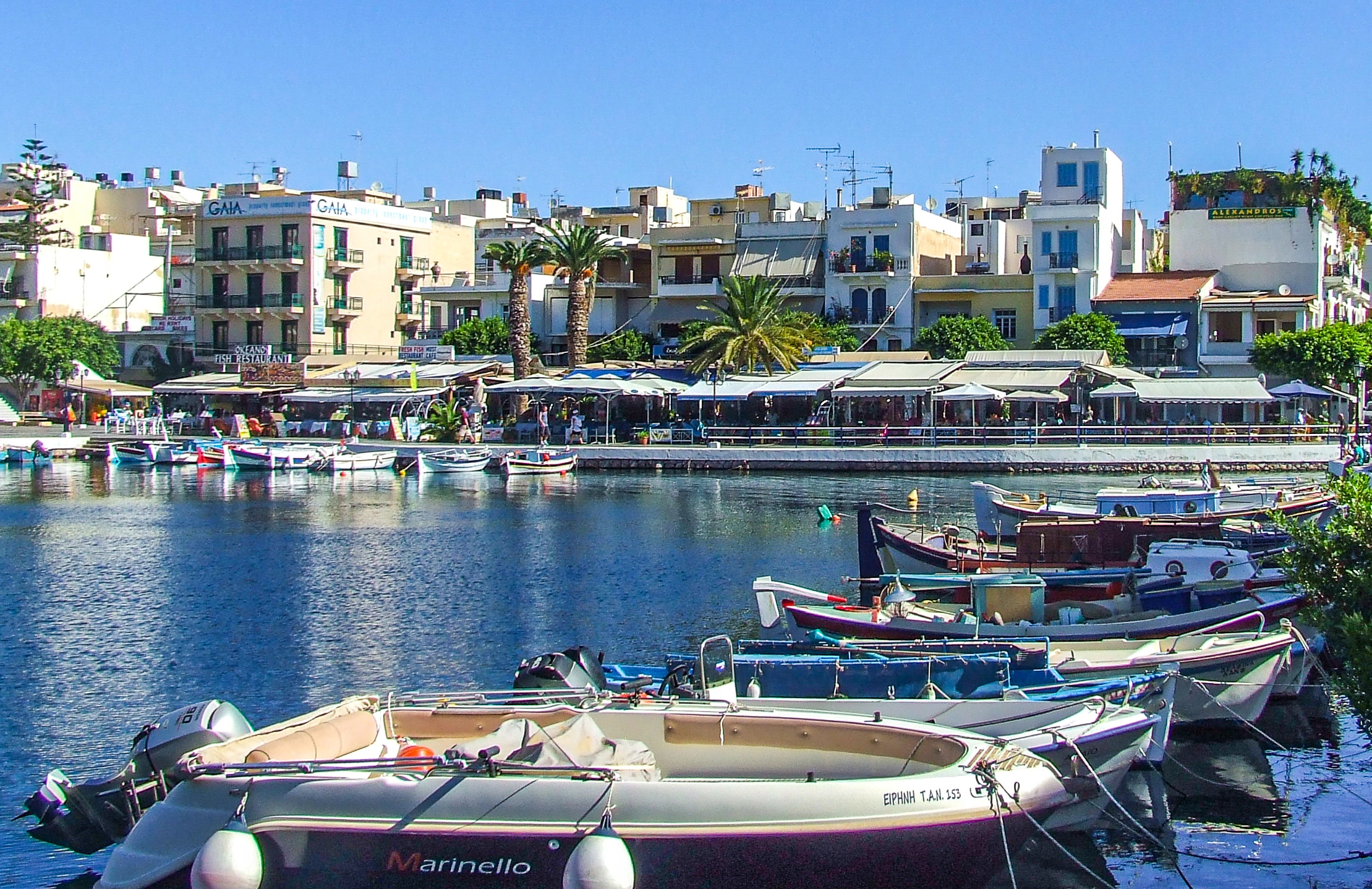
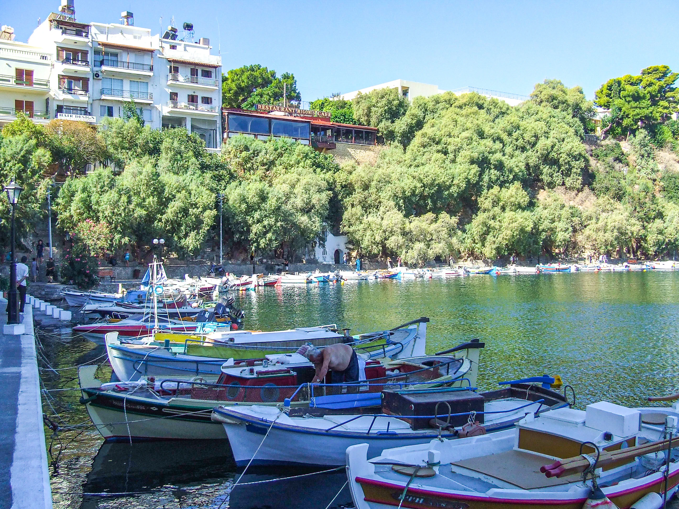
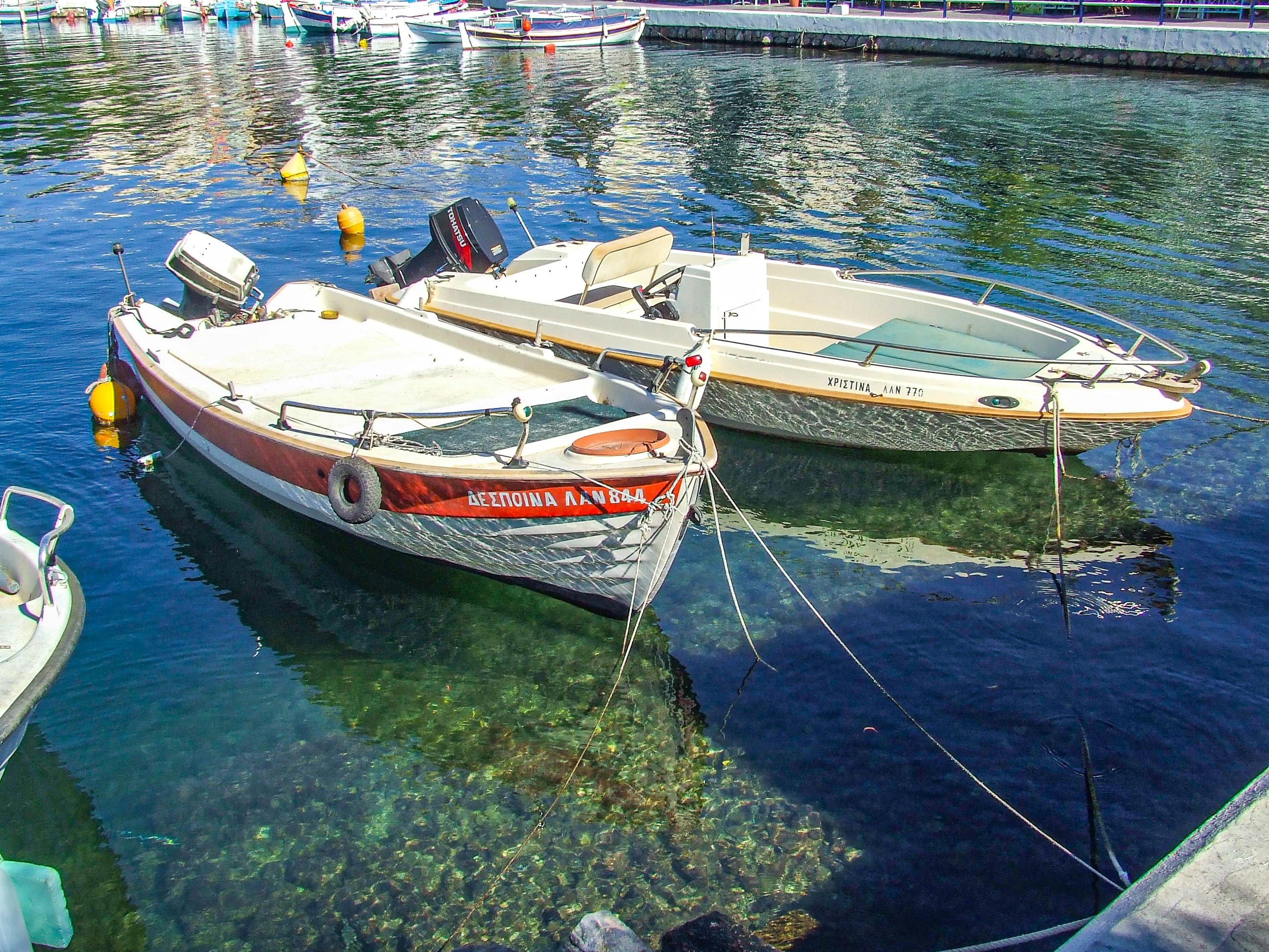
Coastal town on the western shore of Mirabello Bay, about 60–65 km east of Heraklion, on Crete's north coast; the administrative capital of the Lasithi regional unit since 1904.
Town population of 12,149 (2021 census); the wider municipality has around 27,000 inhabitants.
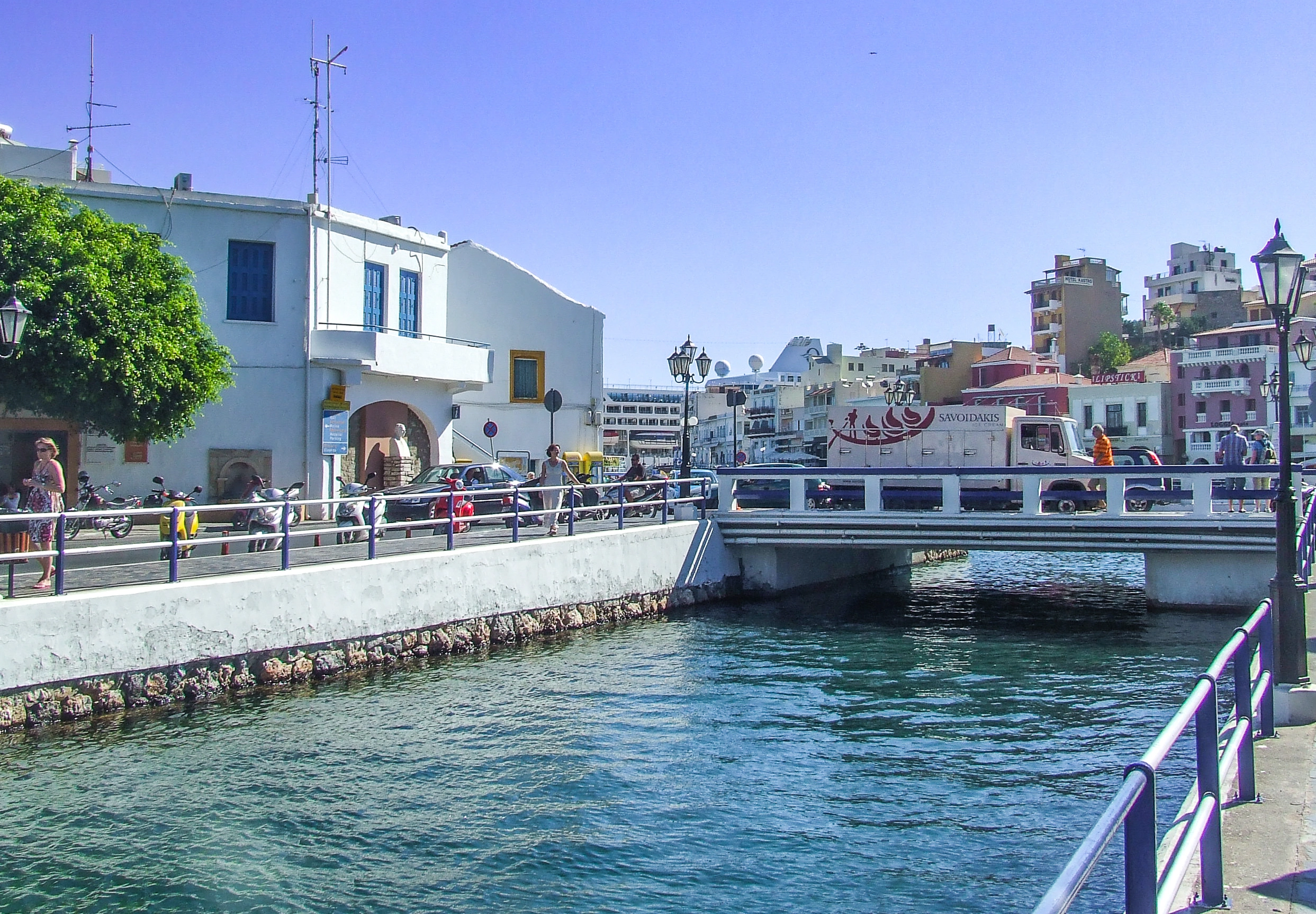
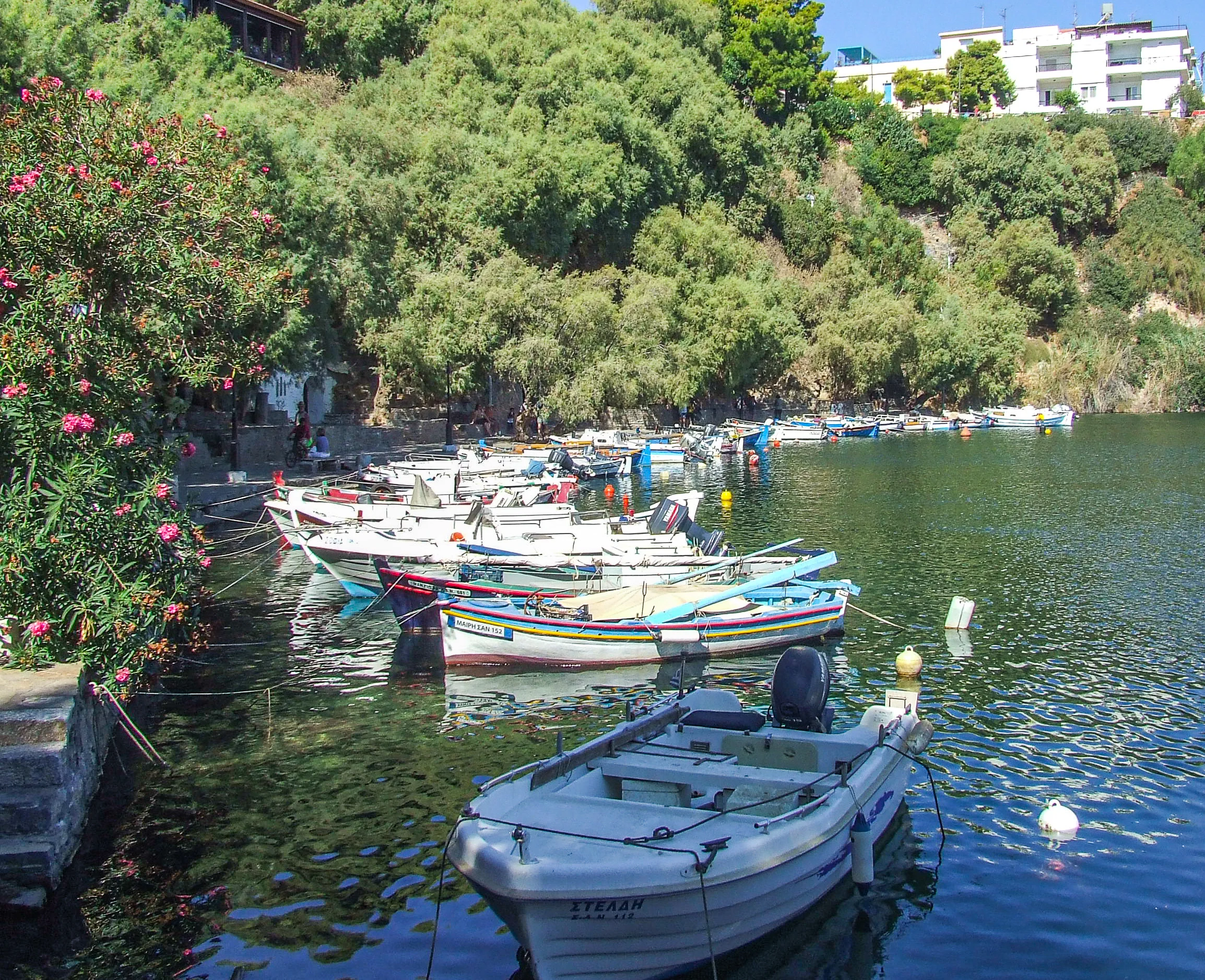
The town centre is built around Lake Voulismeni, a small circular lagoon 137 m in diameter and 64 m deep, connected to the harbour by a canal opened in 1870.
The name means "Saint Nicholas", taken from the small early Byzantine church (8th–9th century) on the Ammoudi peninsula to the north.
One of the first parts of Crete to develop tourism, with the first luxury hotels opening in the 1960s.
Featured in the 1957 film He Who Must Die and the 1964 Walt Disney production of The Moon-Spinners, which helped put the town on the tourist map.
Historical Significance
Agios Nikolaos occupies the site of ancient "Lato pros Kamara", the seaport of the powerful Dorian mountain city of Lato Etera; the two formed a single administrative unit in the 3rd century BC, sharing the goddess Eileithyia — protector of childbirth — and their own coinage. In the Venetian period a fortress named Mirabello ("beautiful view") was built here from 1206, giving its name to the bay and province. The modern settlement emerged around 1866 — initially called Mandraki — built partly from the fortress ruins, and became the capital of Lasithi in 1904. The town developed as a tourist destination from the 1960s, the first area of Crete to do so, years before the west of the island.
Architectural Highlights
Lake Voulismeni and the lakeside amphitheatre of tavernas, cafés and pedestrian streets — according to myth, Athena and Artemis bathed here, and local legend long held the lake to be bottomless.
The 8th–9th-century Byzantine church of Agios Nikolaos, one of the few surviving early Byzantine churches on Crete, with schematic decoration from the Iconoclastic period.
Church of Agia Triada in the town centre, with frescoes in both the Cretan and Macedonian Byzantine traditions.
The Archaeological Museum of Agios Nikolaos, housing finds from eastern Crete spanning the Neolithic to Roman periods, including grave goods from the early Minoan cemetery of Agia Fotia.
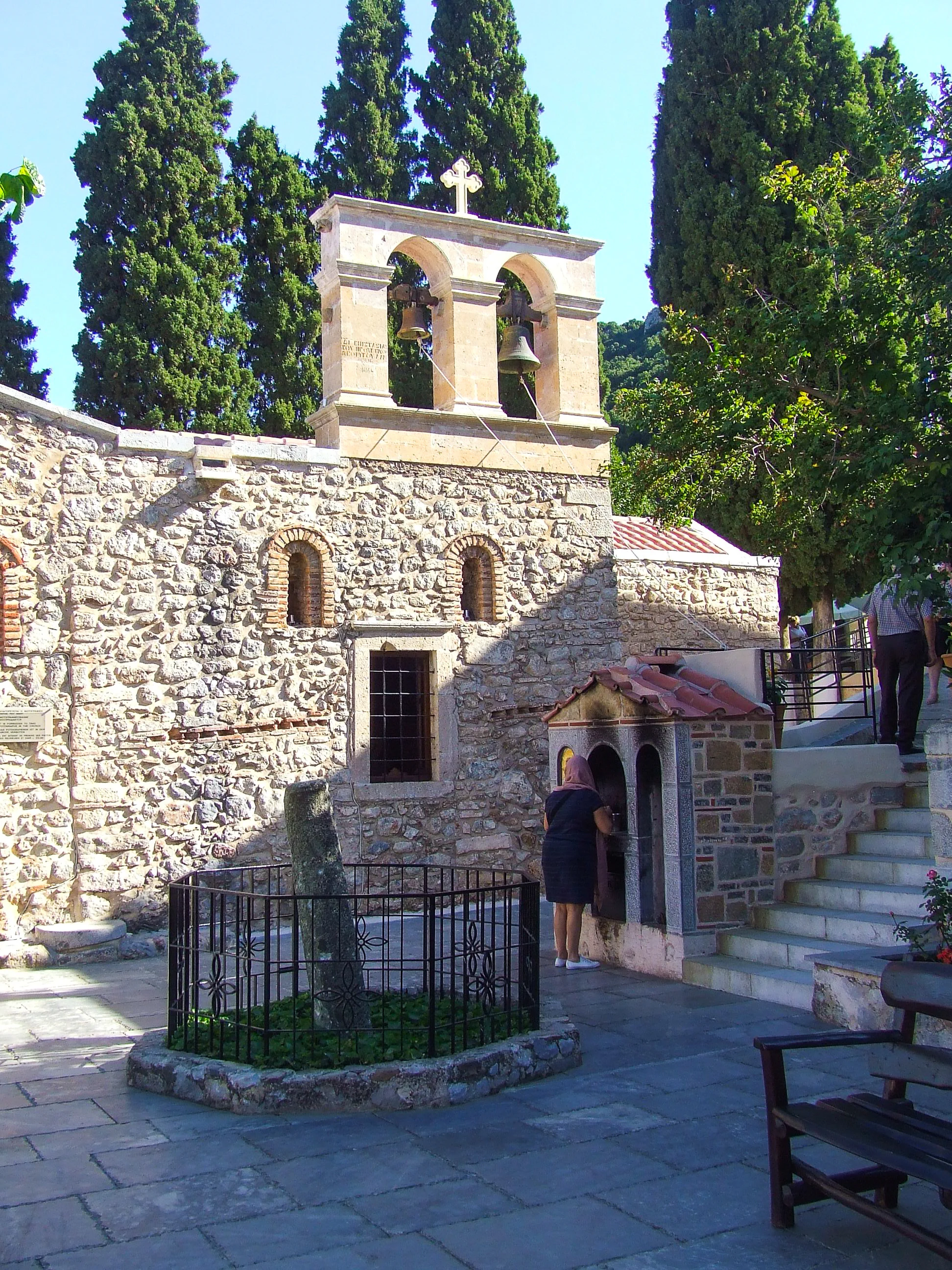
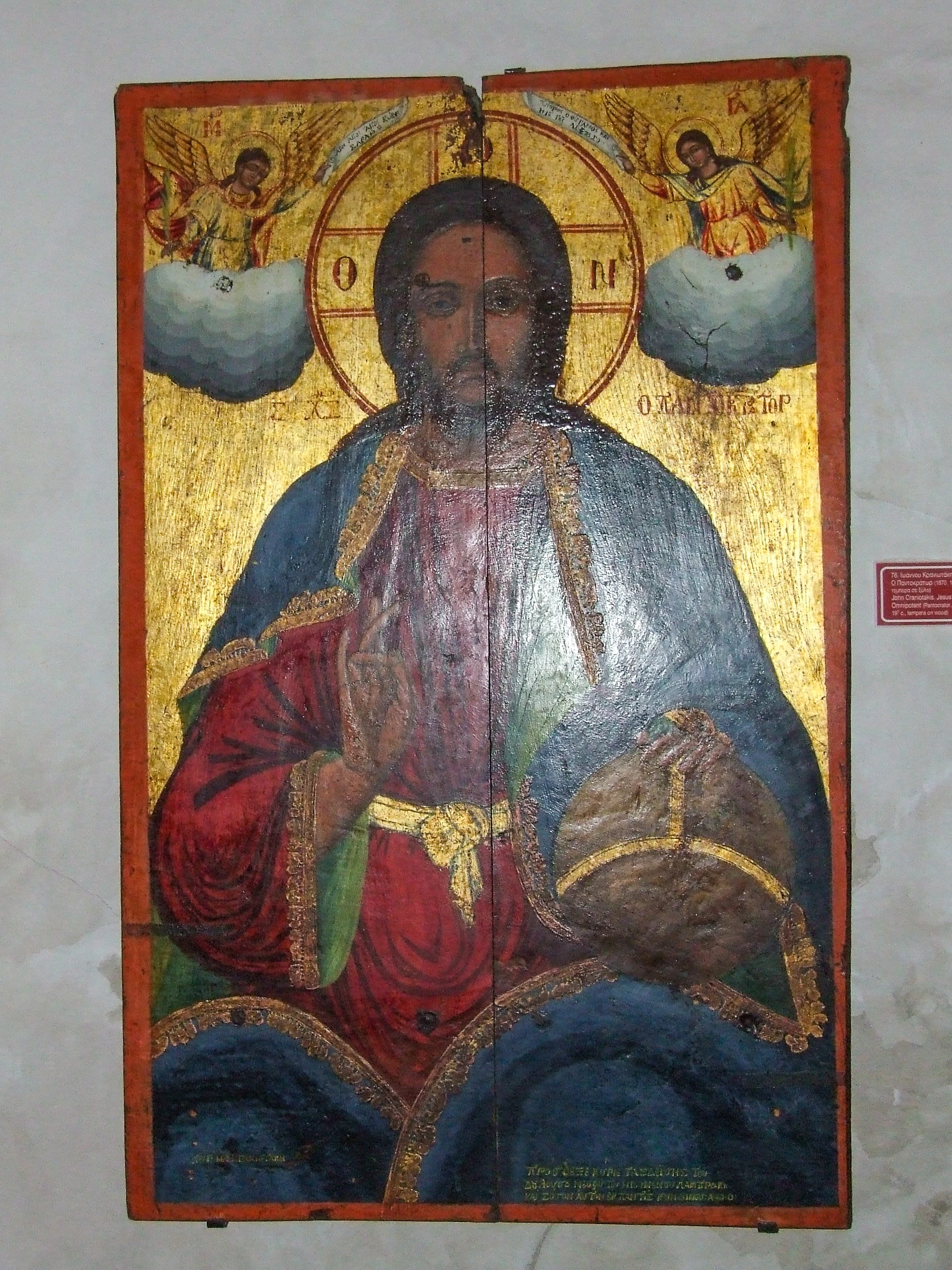
The nearby ruins of ancient Lato (about 12 km inland), one of the best-preserved Classical-era cities in Crete, and the Byzantine church of Panagia Kera at Kritsa with its celebrated frescoes.
Key Features and Attractions
Boat trips across Mirabello Bay to the island-fortress of Spinalonga, a Venetian stronghold and later leper colony, via Elounda and Plaka.
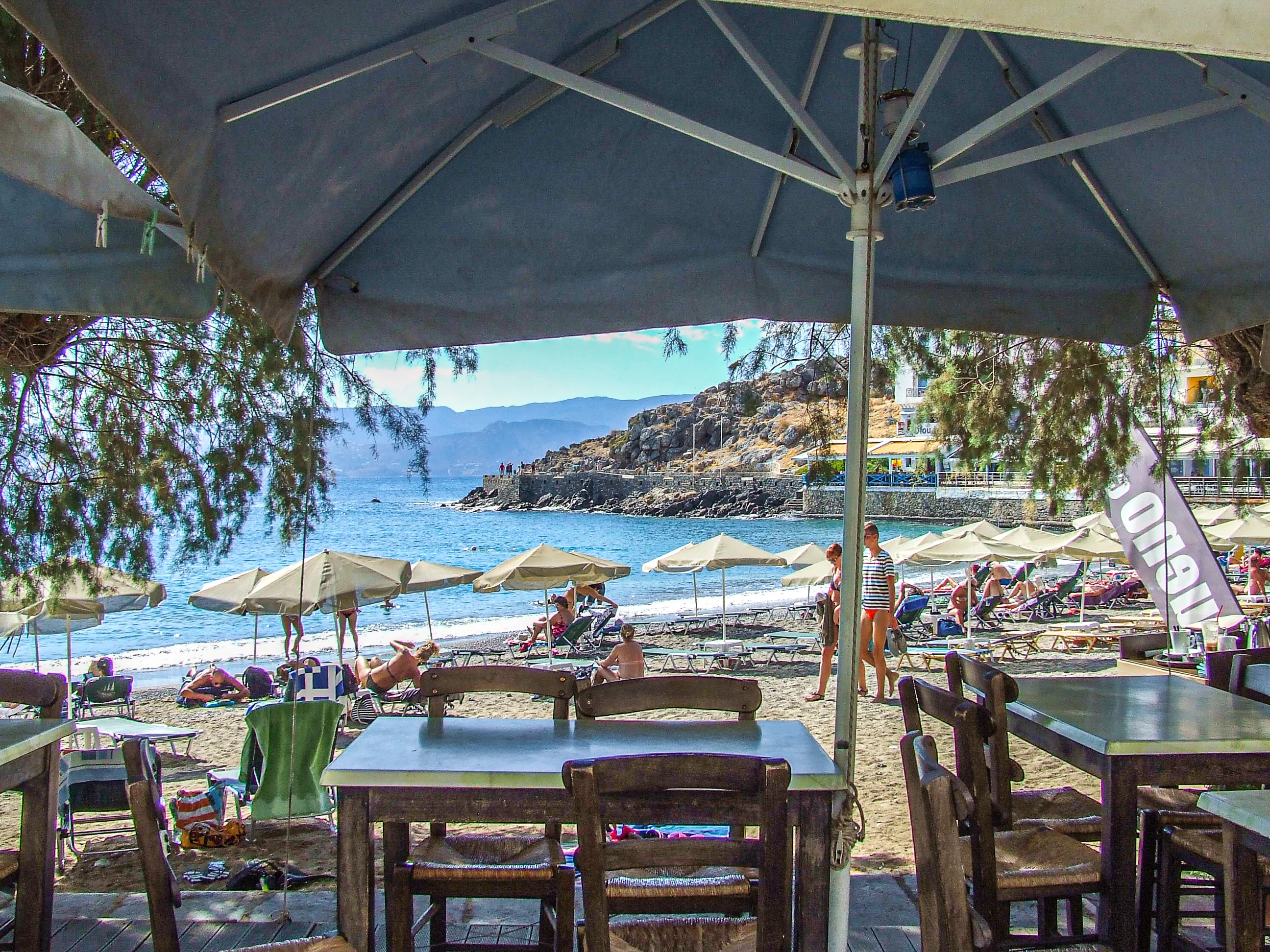
Beaches within minutes of town: Kitroplatia, Ammos, Ammoudi, Almyros and Havania, plus the golden sands and turquoise water of Voulisma ("Golden Beach") a short drive east.
The traditional mountain village of Kritsa, with craft shops, olive-oil farms and the Kritsa (Sarakina) gorge hike.
The Minoan town of Gournia and the Dikteon Cave and Lasithi Plateau as day trips.
A three-day international cliff-diving competition held over Lake Voulismeni each June, with athletes diving from 20-metre platforms.
Outdoor sculptures by Nikos and Pantelis Sotiriades — including "The Abduction of Europe" and "The Horn of Amalthea" — around the waterfront, and the Easter-midnight fireworks gathering around the lake.
Modern Role
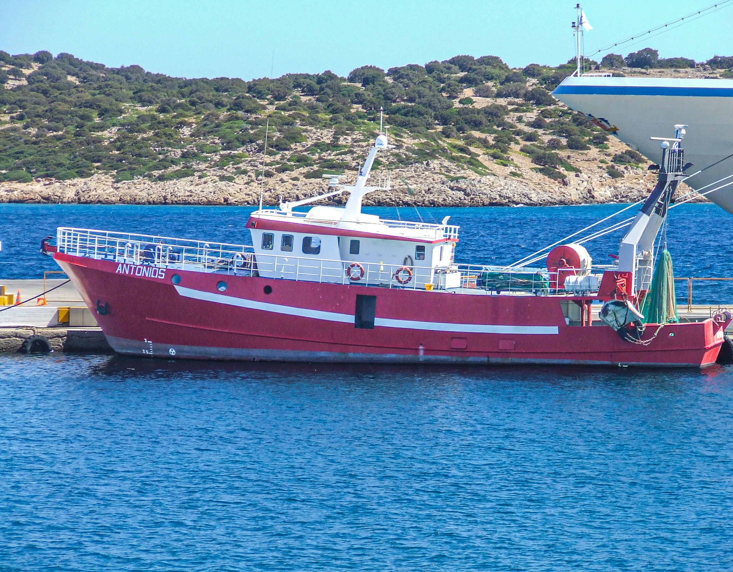
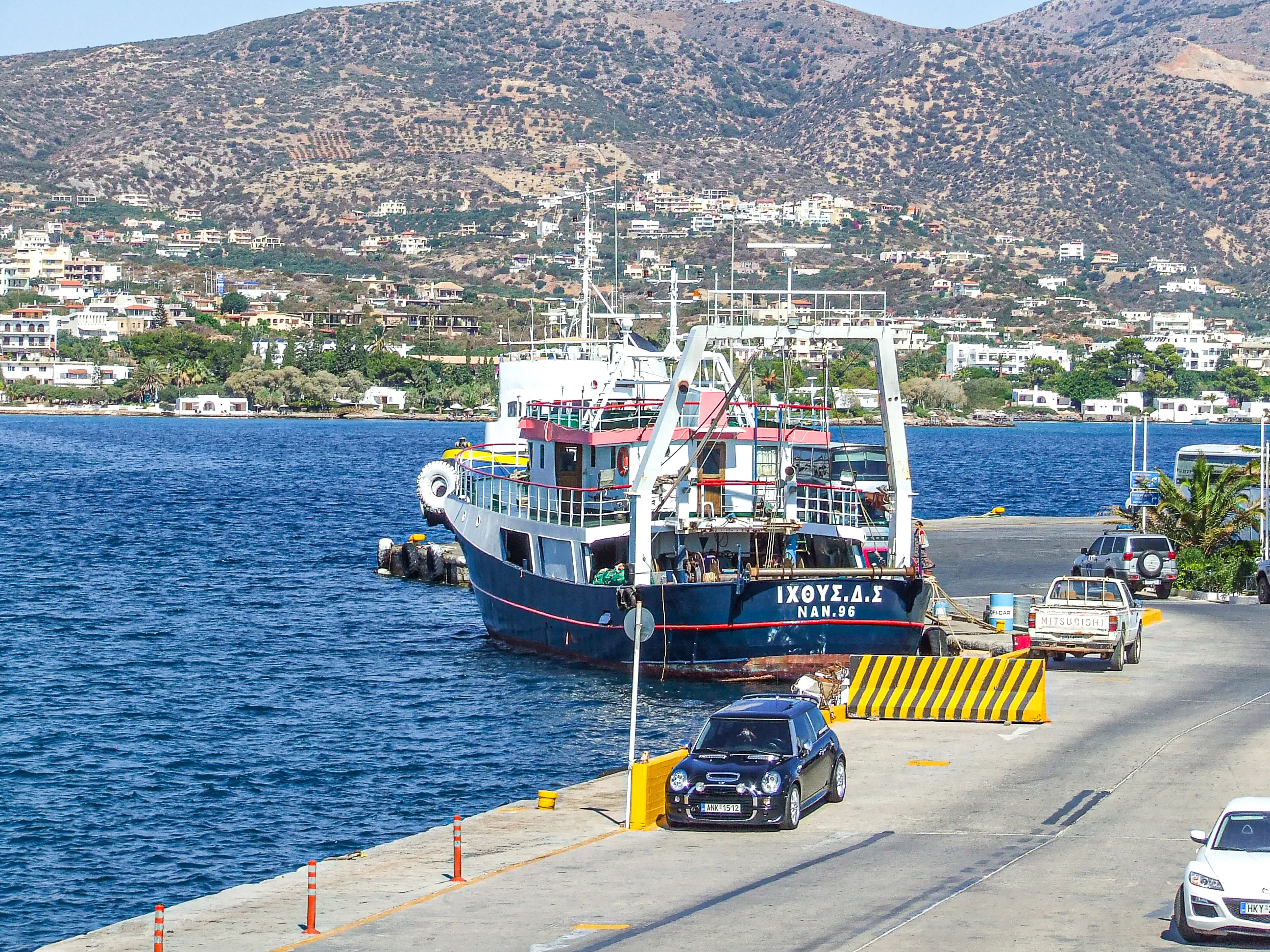
Agios Nikolaos is the administrative, commercial and tourism hub of eastern Crete, serving as the gateway to the Lasithi region and the luxury resort strip between the town and Elounda, and hosting the port, marina and ferry links that support the area's economy.
How To Get There
Getting to Agios Nikolaos and Lake Voulismeni, Crete, Greece | Travel Photography
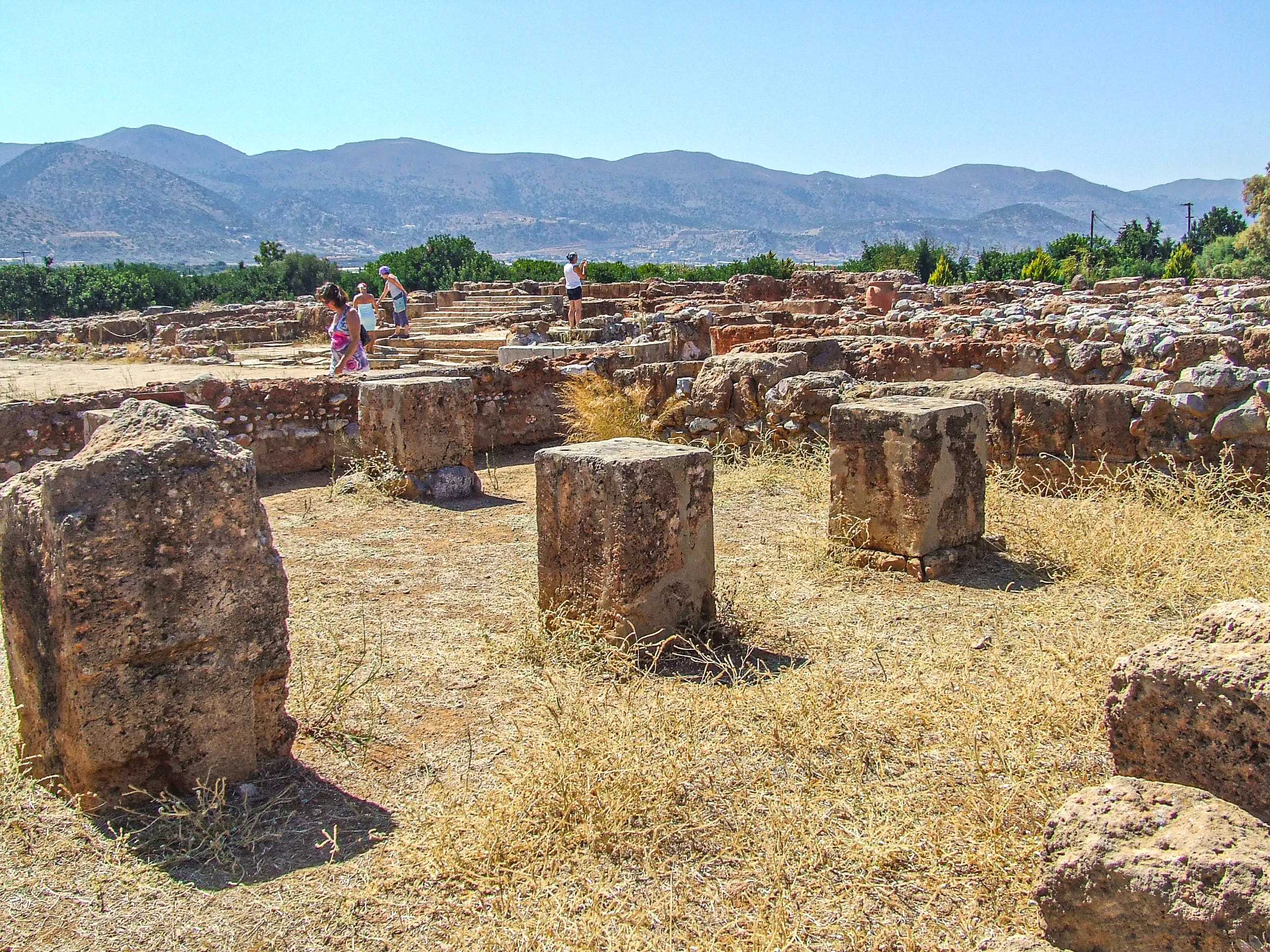
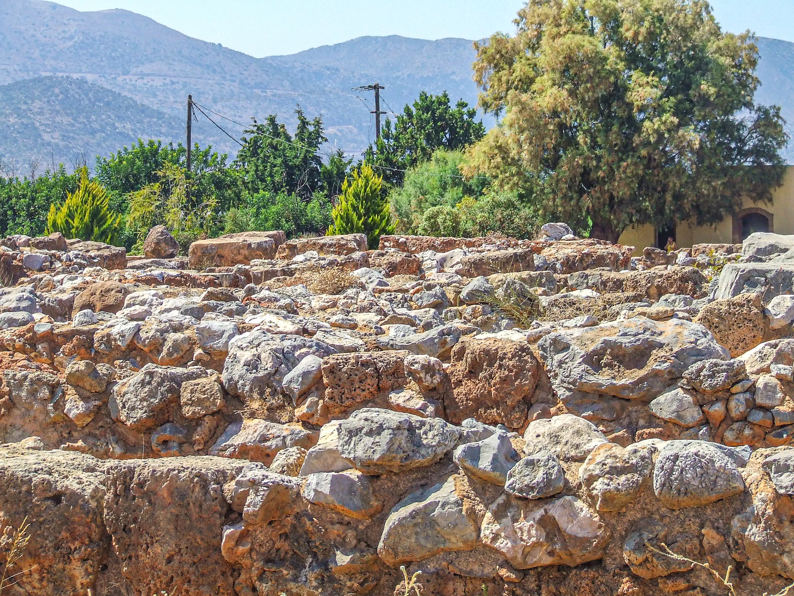
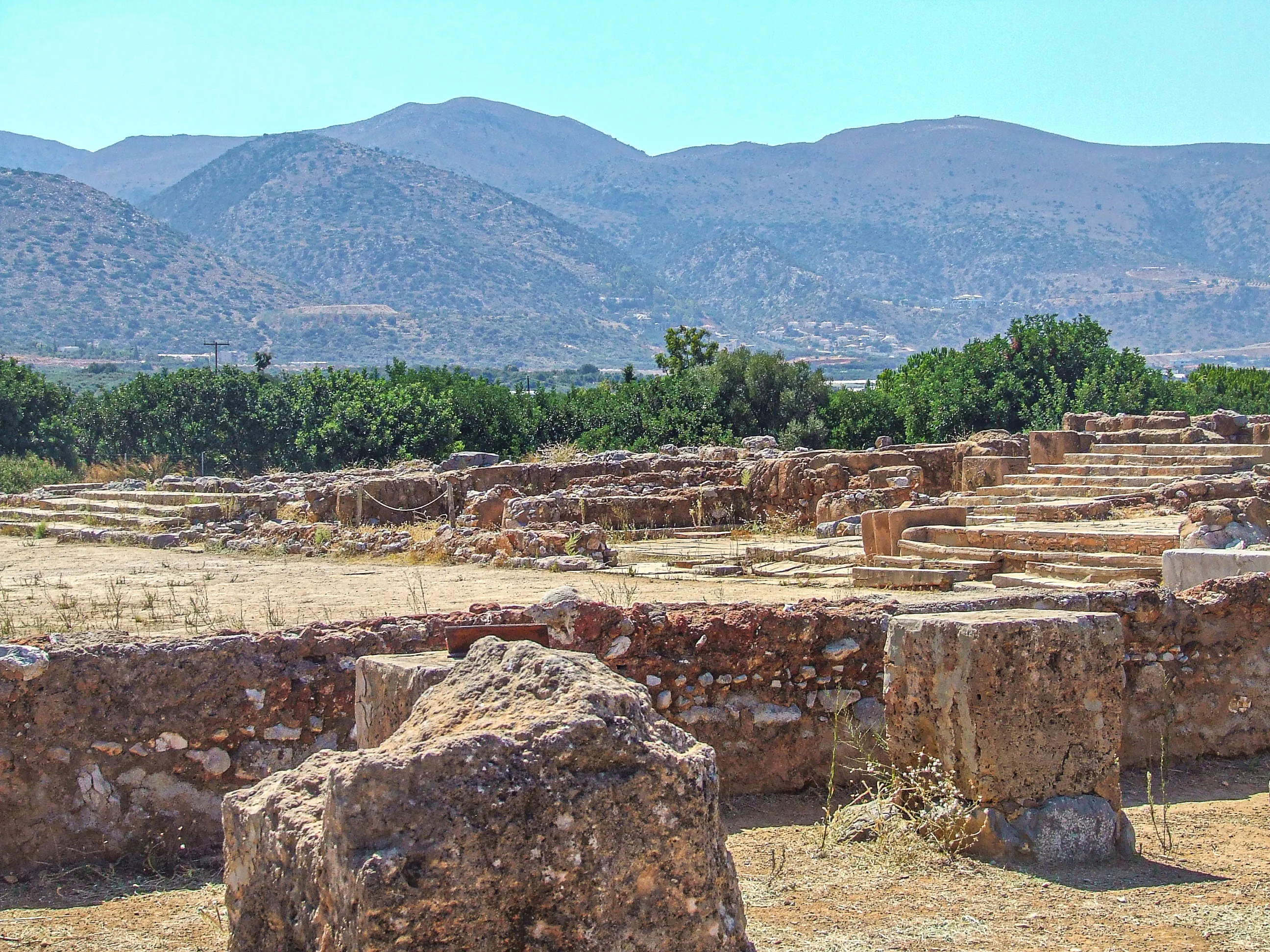
Palace of Malia (Μινωικό Ανάκτορο των Μαλίων)
Key Facts
Type: Minoan palace complex and surrounding town (Bronze Age archaeological site)
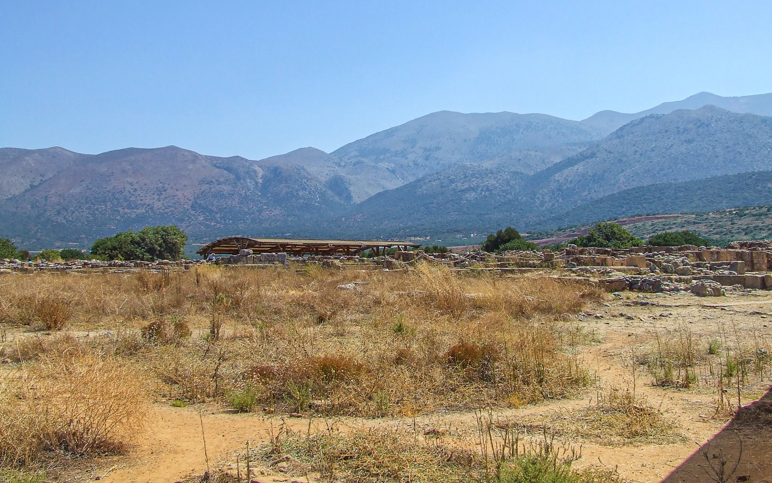
Location: Northern coast of Crete, a few kilometres east of the seaside town of Malia, 35 km east of Heraklion, Heraklion regional unit, Greece
Size: The third-largest Minoan palace of Crete, after Knossos and Phaistos, covering about 7,500 m²
)
Founded: Protopalatial period, circa 2000 BC (some sources give circa 1900 BC), at the centre of a flourishing settlement
Destroyed and rebuilt: Destroyed circa 1700 BC, reconstructed circa 1650 BC; a further disaster circa 1450 BC left the palace in ruins ([Destination Crete](https://www.destinationcrete.gr/archaeological-sites-crete/malia-minoan-palace/))
Mythology: Traditionally the residence of Sarpedon, son of Zeus and Europa and brother of Minos and Rhadamanthus
Excavation: Gold sheets found in 1880; first excavations by Iosif Chatzidakis in 1915; continued by the French School of Archaeology at Athens from 1921 to the present day
Scripts: Inscriptions found at the site in Cretan hieroglyphs, Linear A and the deciphered Linear B (
Historical Significance
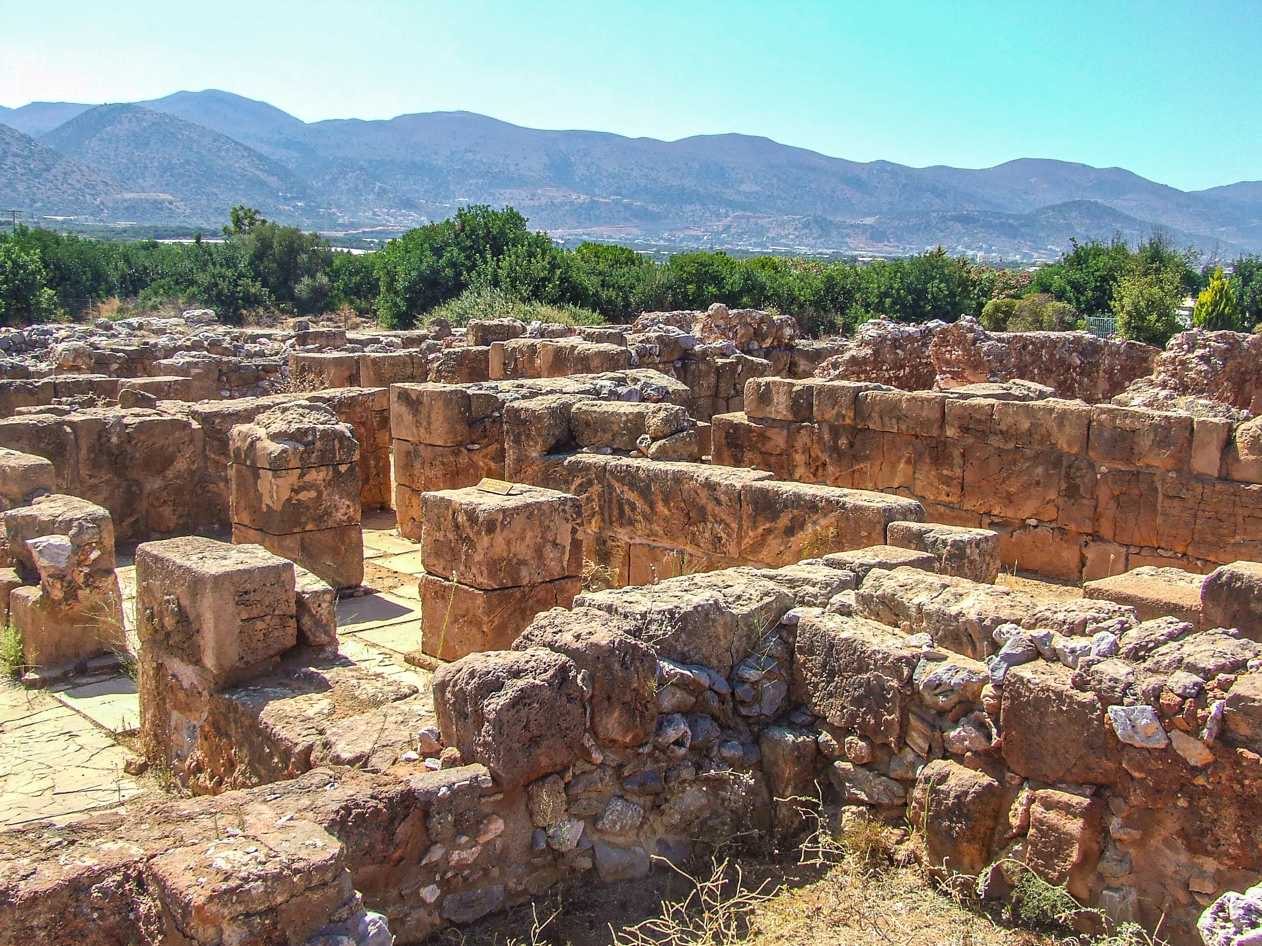
Malia preserves the finest relics of the Minoan Protopalatial period, the era before the great palaces of Knossos and Phaistos were rebuilt in their better-known Neopalatial form. The site's story begins long before the palace itself: Early Minoan settlement from around 2600–2300 BC grew into a town of thousands by EM III–MM IA, and the first palace rose around 2000/1900 BC as the seat of a dynasty tradition assigns to King Sarpedon. The Protopalatial palace was destroyed in Middle Minoan IIB (circa 1700 BC), and the Neopalatial palace — built of ashlar sandstone and mudbrick over its predecessor, incorporating its structures — met its end in a late phase of Late Minoan IA or IB, circa 1450 BC. Though a genuinely important Minoan centre, Malia is thought to have had a rather more provincial character than Knossos and Phaistos, and its Minoan name is still unknown. Excavation by the French School of Athens continues today, and finds include the golden bee pendant of Chrysolakkos, one of the greatest masterpieces of Minoan goldwork, now in the Heraklion Archaeological Museum ([Destination Crete](https://www.destinationcrete.gr/archaeological-sites-crete/malia-minoan-palace/), [Wikipedia](https://en.wikipedia.org/wiki/Malia_(archaeological_site)), [Minoan Crete](http://www.minoancrete.com/malia.htm), [Cretan Beaches](https://www.cretanbeaches.com/en/history-of-crete/archaeological-sites-in-crete/minoan-times-palaces-and-sites/malia-minoan-palace)).
Architectural Highlights
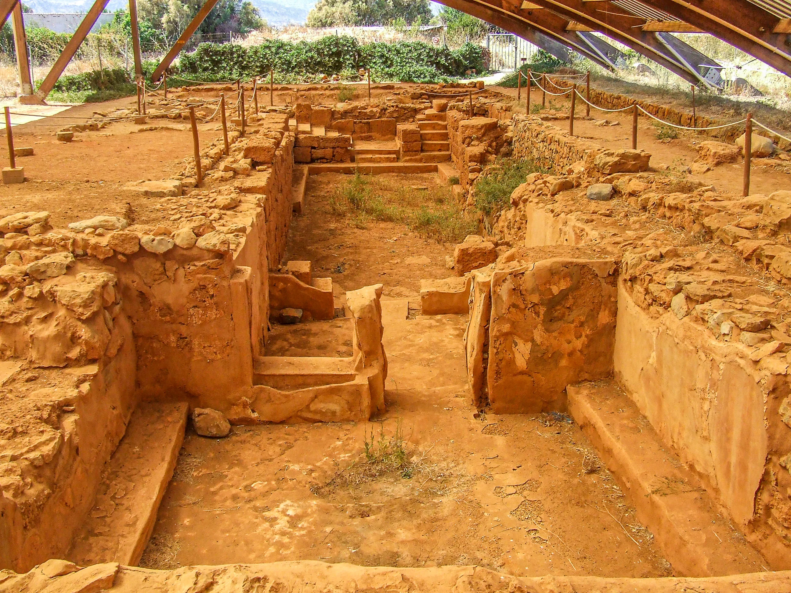
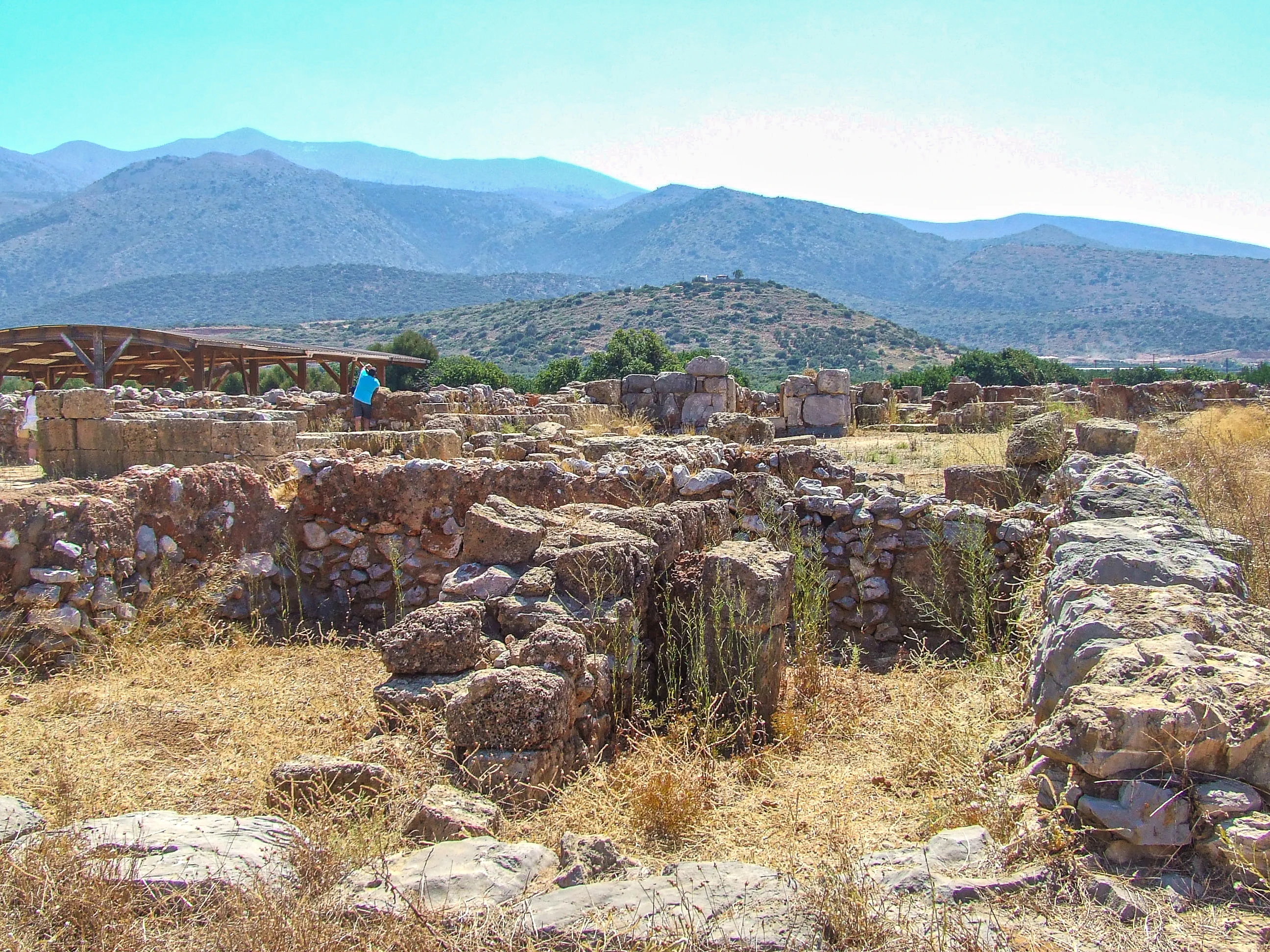
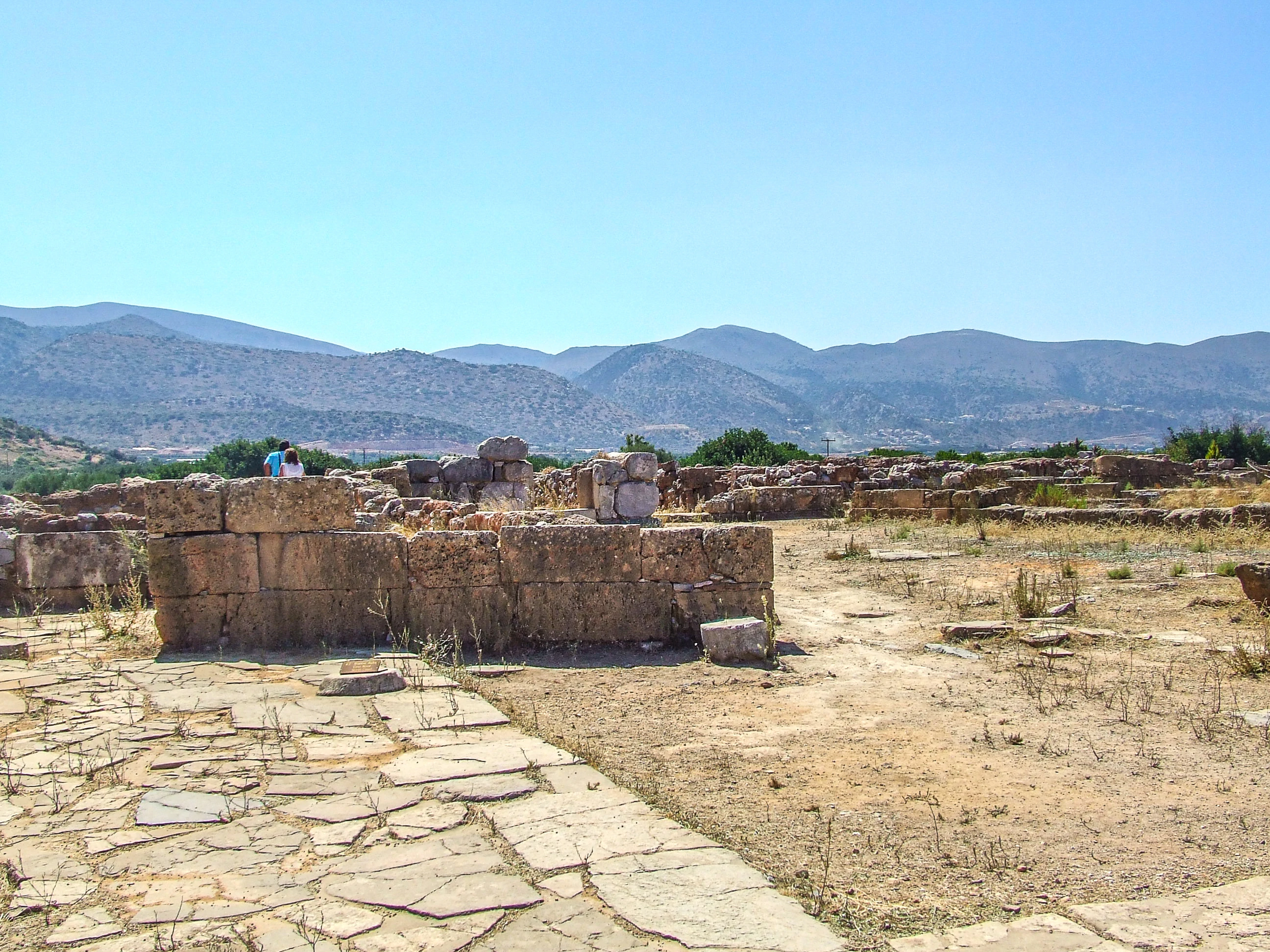
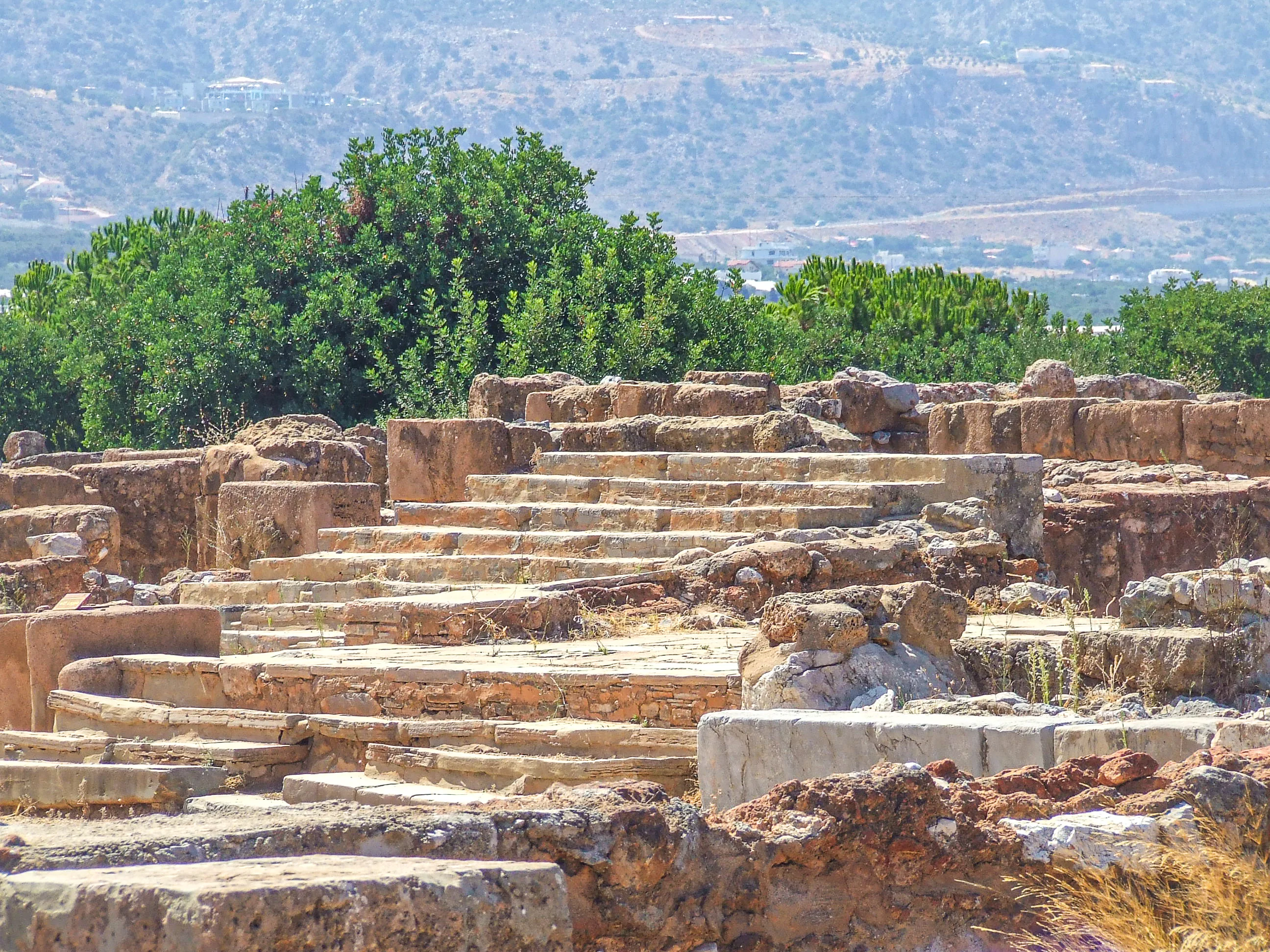
A Neopalatial palace set around three courts — the Central Court, the North Court and the Tower Court — with porticoes on the north and west sides of the Central Court and an altar unique to Malia at its centre
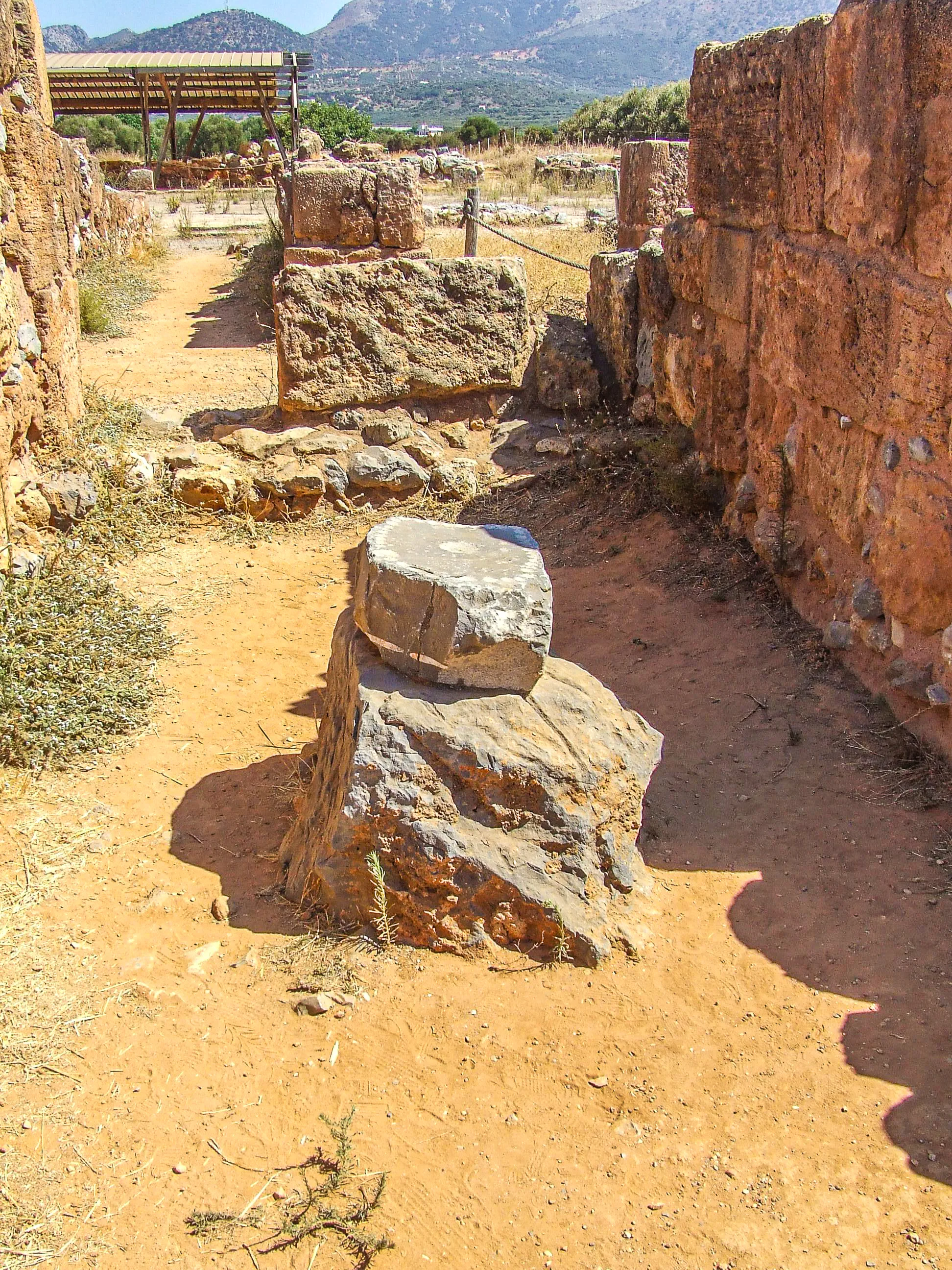
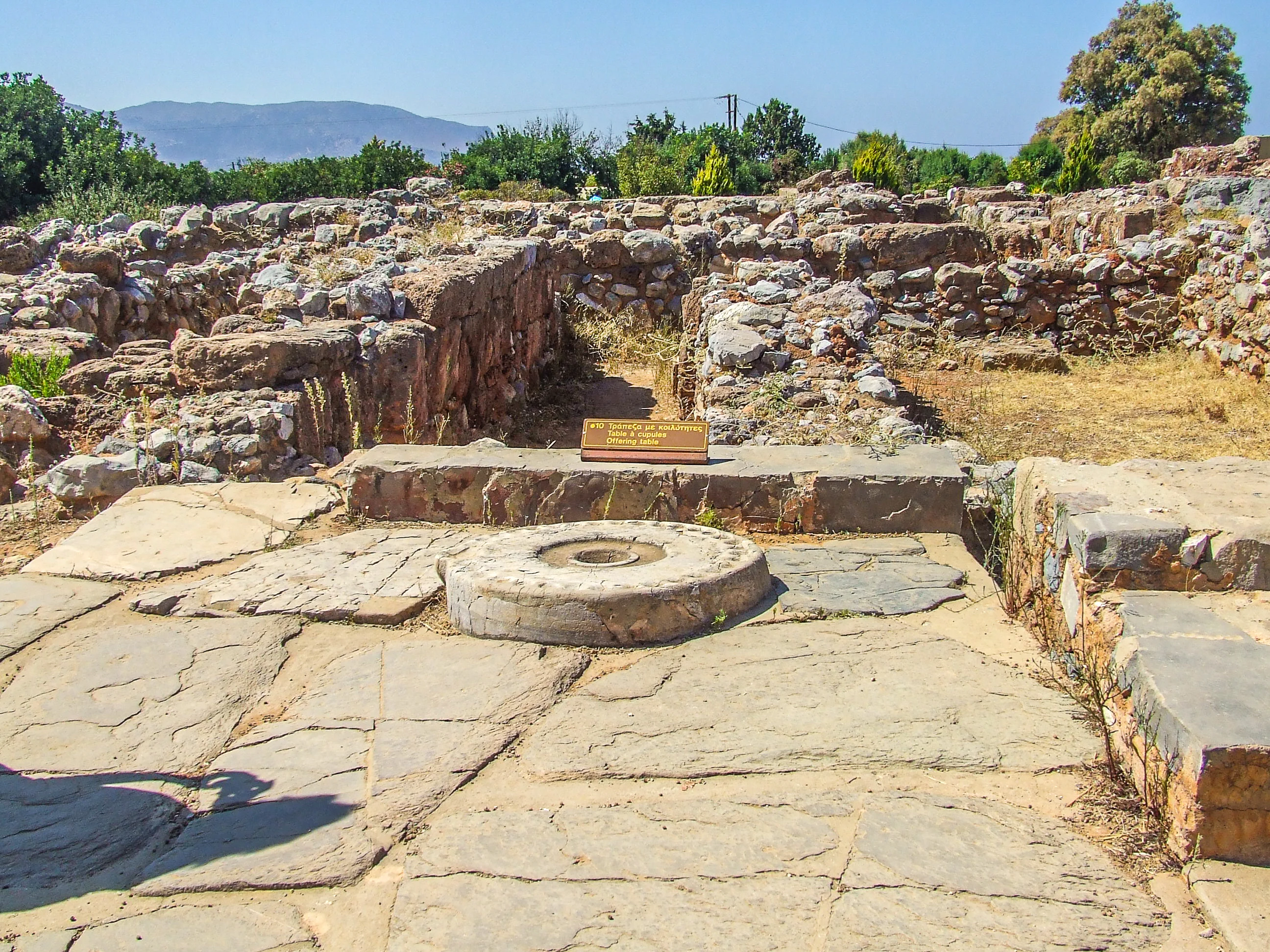
The Kernos of Malia, south of the Central Court near the monumental paved South Entrance: a large round stone with 34 shallow holes (one large, 33 small) into which votive offerings of seeds, oil and wine were placed
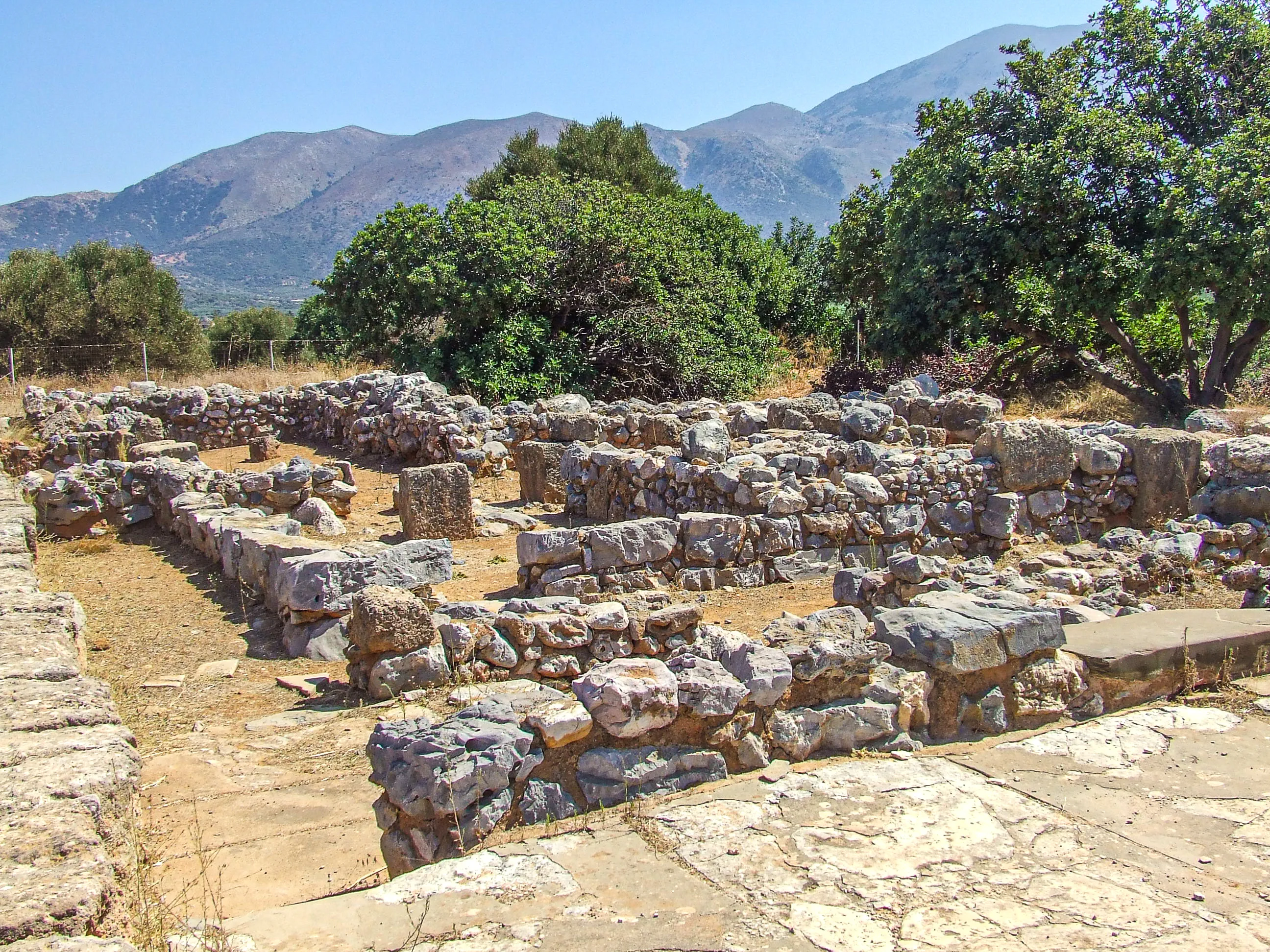
The two-storeyed West Wing with the Royal Rooms, the King's Audience Hall and a hidden Lustral Basin, plus West Magazines whose walls incorporate Early Minoan II structures that remained standing until the palace's final destruction
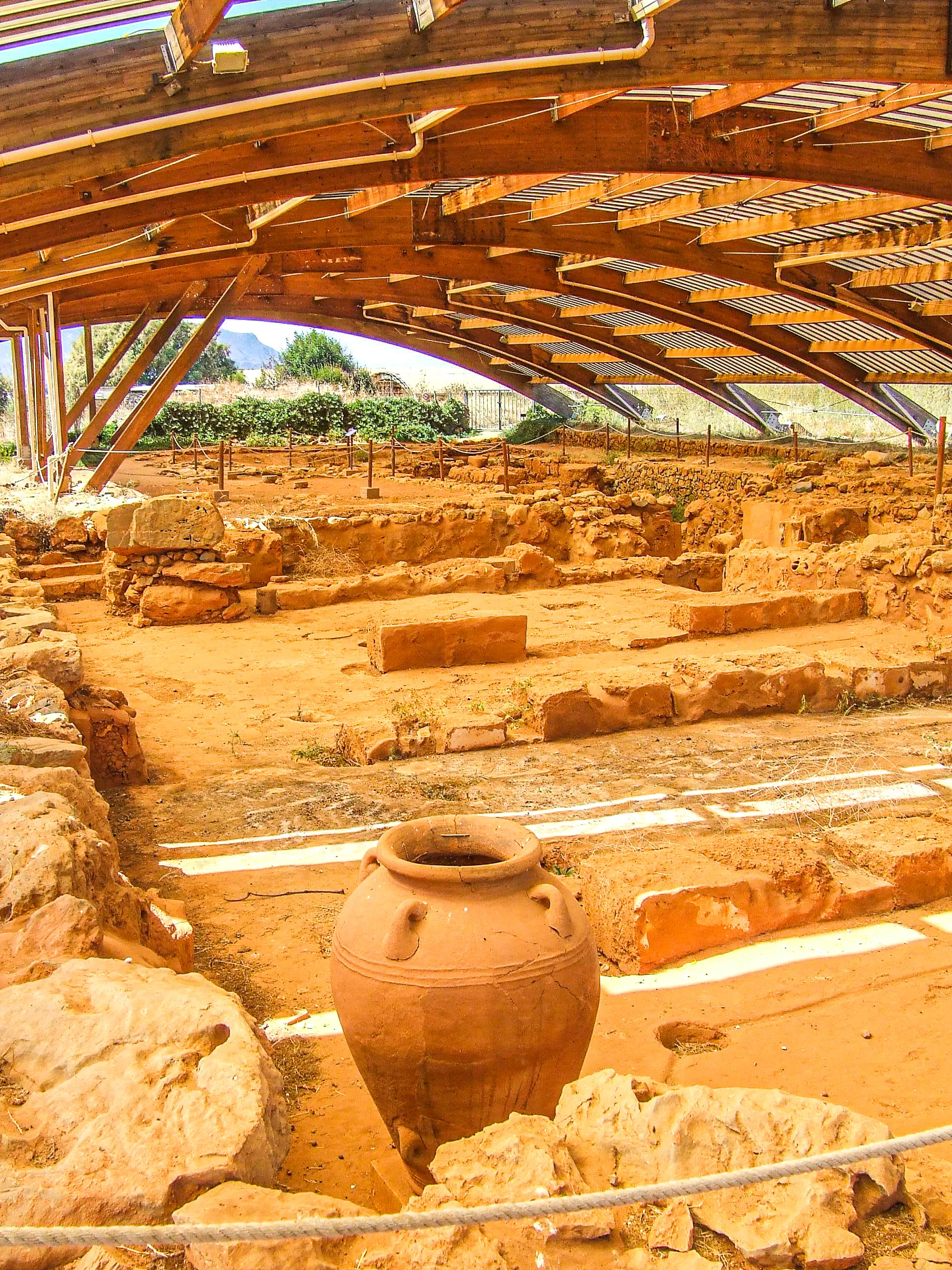
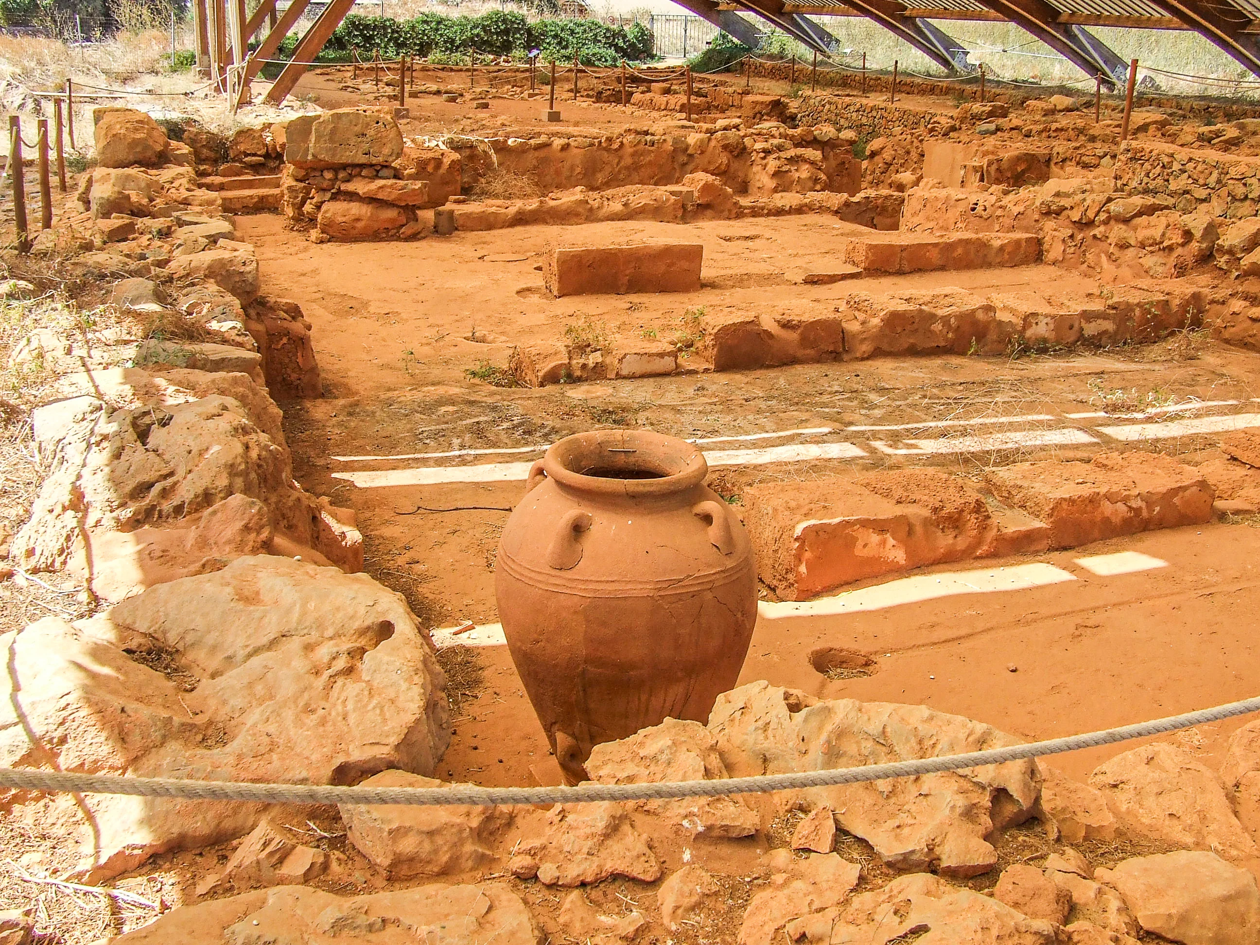
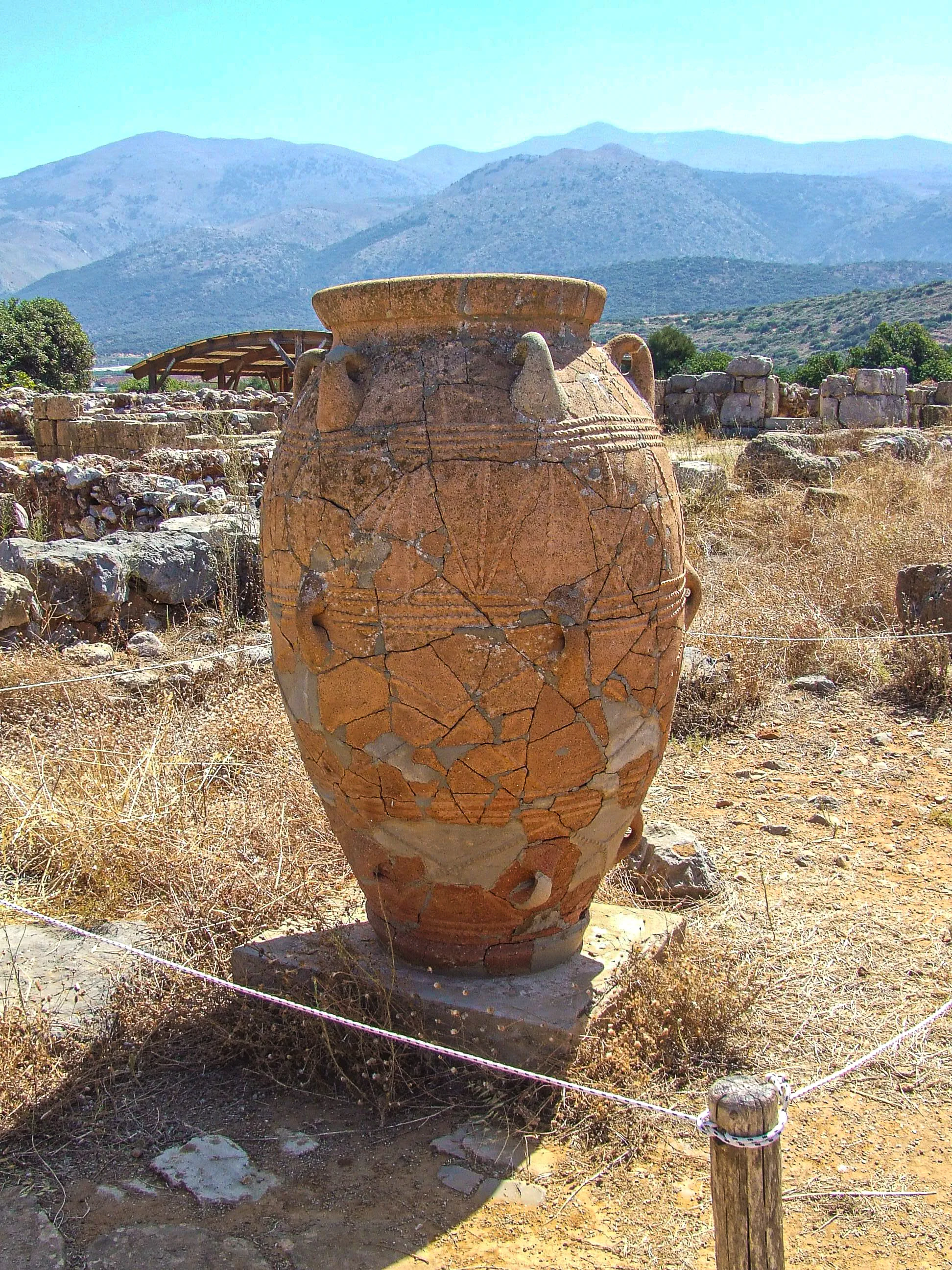
The East Wing, almost entirely occupied by magazines of liquids, with low platforms for pithoi up to two metres tall and a channel-and-receptacle system to collect spilled liquids — Minoan storage engineering at its most visible
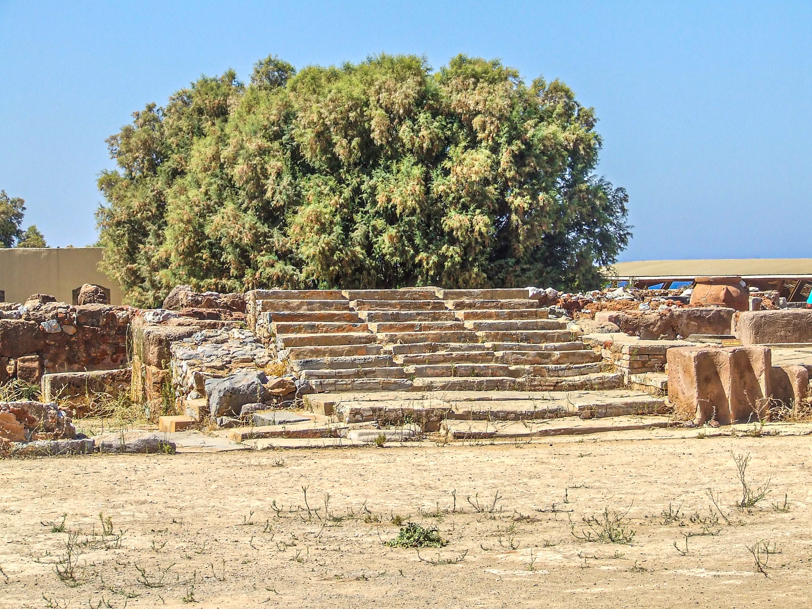
Eight circular grain silos in the southwest corner, and a Grand Staircase by the South Entrance possibly used as a "theatral" seating area
Quartier Mu southwest of the palace — the largest and best-preserved Protopalatial building complex in Crete, over 3,000 m², with buildings A (840 m²) and B (540 m²) and seven smaller structures
Key Features and Attractions
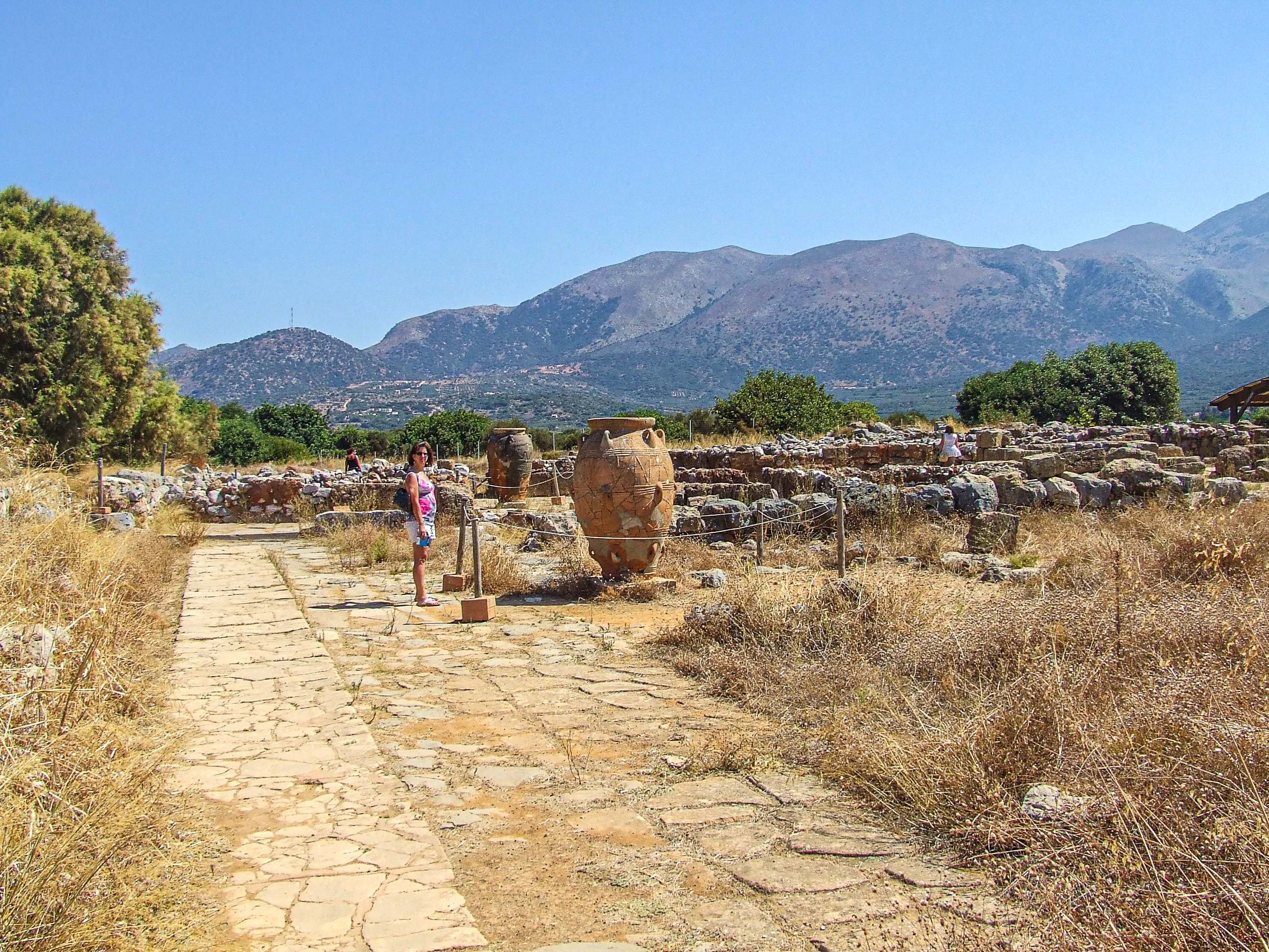
The giant pithoi — storage jars for grain and liquids — still standing among the ruins, some reconstructed, half-buried or defying time in the open air ([Zigzag on Earth](https://www.zigzagonearth.com/malia-palace-crete-archaeological-site/), [Ancient Greece Wanderings](https://ancientgreecewanderings.com/malia-palace-archaeological-site-crete/))
The Sanctuary of the Horns, a semi-basement complex of 1800–1700 BC southwest of the palace, its entrance adorned by two large horns ([Cretazine](https://cretazine.com/en/crete/travel-explore/presentations/item/2568-minoan-palace-of-malia))
The Chrysolakkos necropolis about 500 m north of the palace, with at least 40 burial chambers — findspot of the golden bee pendant of circa 1700 BC ([Greeka](https://www.greeka.com/crete/heraklion/sightseeing/malia-minoan-palace/), [Rental Center Crete](https://www.rental-center-crete.com/blog/landmark/archaeological/malia-palace/))
The site museum's photographic exhibition of the Malia excavations and a scale model (maquette) of the palace
The Potamos beach beside the site — a long organised sandy beach, perfect for a swim after the tour
Modern Role
Managed by the Hellenic Ministry of Culture with the French School of Archaeology at Athens continuing excavation, the site is one of Crete's significant Minoan attractions and a valued respite from the tourist bustle of modern Malia, drawing increasing numbers of visitors .
Lasithi Plateau (Οροπέδιο Λασιθίου)
Key Facts
Type: High endorheic mountain plateau (closed basin with no natural outlet to the sea)
Location: Lasithi regional unit, eastern Crete, about 70 km east/southeast of Heraklion, 25 km south of Malia, west of Agios Nikolaos
Dimensions: Roughly 11 km east–west by 6 km north–south, around 25–30 km² of fertile arable plain
Altitude: Average 840 m (sources give 800–850 m)
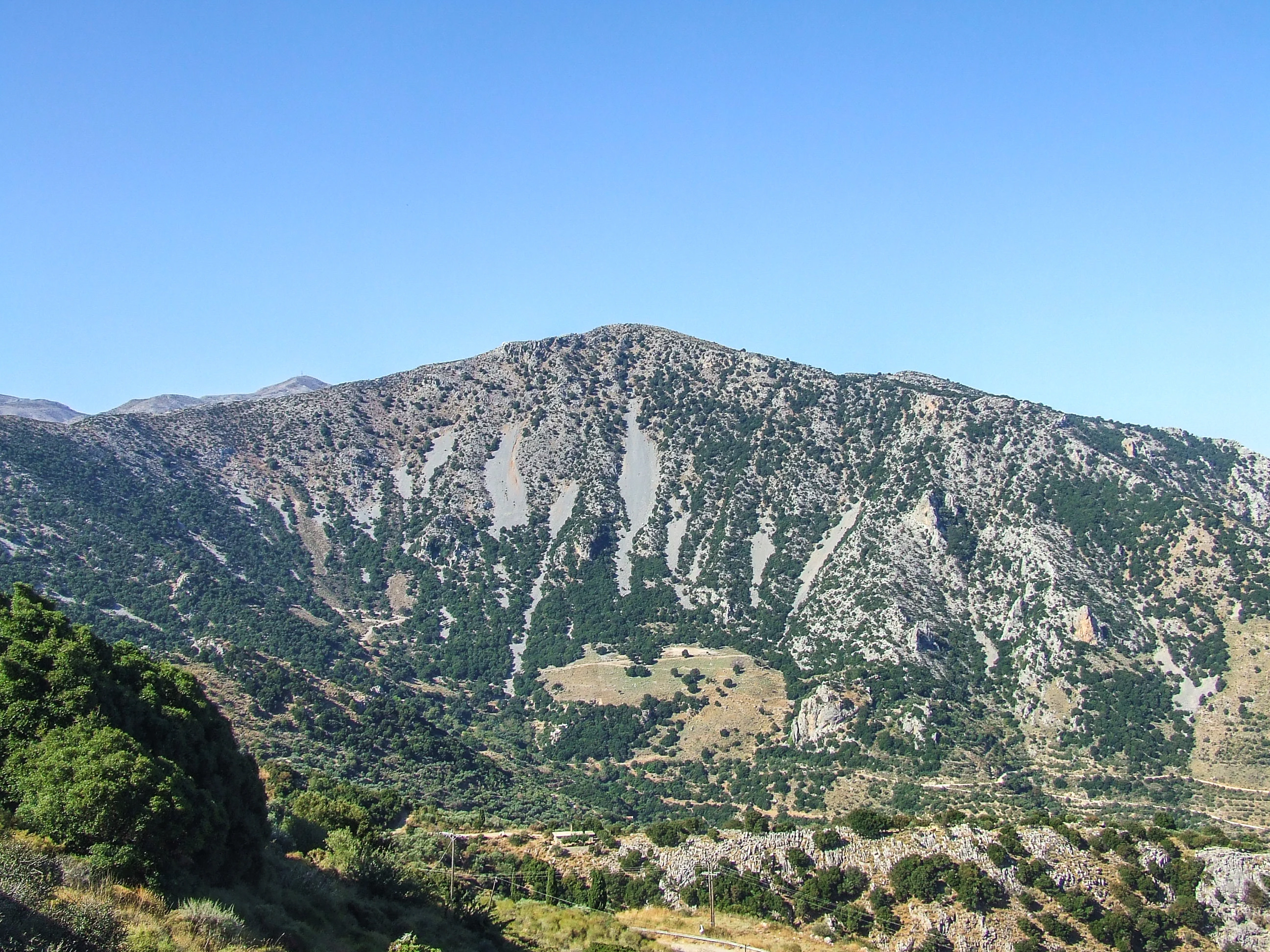
Setting: Encircled by the peaks of Dikti — Selena (1,559 m) to the north, Afendi (1,571 m) and Louloudaki (1,163 m) west, Spathi (2,148 m, the highest) to the south, Katharo and Varsami to the east
Population: About 17–18 villages built at the foot of the surrounding mountains, leaving the plain free for cultivation; the capital is Tzermiado, and Agios Georgios and Psychro are the other key villages
Claim to myth: The Dikteon Cave (Cave of Zeus / Psychro Cave) above the village of Psychro, where Rhea was said to have given birth to Zeus )
Icon: The white-sailed windmills (wind-pumps) of a local design, used since the 1920s to irrigate the land ([Wikipedia](https://en.wikipedia.org/wiki/Lasithi_Plateau))
Historical Significance
The plateau's fertile soil, fed by alluvial run-off from melting snow, has attracted inhabitants since Neolithic times around 6000 BC, through the Minoan era — when the Psychro Cave became one of the most frequented shrines of Minoan Crete — and beyond; genetics studies suggest the isolated plateau even served as a refugium of the Minoan population. In 1293, during the Venetian occupation, the plateau's repeated resistance brought such repression that villages were demolished, cultivation prohibited and natives forbidden to return on pain of death for over two centuries — a Venetian manuscript called Lasithi spina nel cuore, "a thorn in the heart of Venice". From the early 15th century Venetians allowed Peloponnesian refugees to resettle and between 1514 and 1560 built the great system of drainage ditches (linies) still in use today, channelling water to the Honos sinkhole. The plateau paid dearly for its defiance: Ottoman and Egyptian forces slaughtered or enslaved villagers in January 1823, and again in May 1867 during the Great Cretan Revolt, when the Kroustalenia Monastery — seat of the revolutionary committee — was demolished. In the 20th century the surrounding peaks sheltered resistance fighters during the 1941–1944 Axis occupation .
Architectural Highlights
The Venetian linies — drainage ditches constructed 1514–1560, still in use, feeding floodwater to the Honos sinkhole and the Aposelemis river (and via a 3.5 km tunnel to Aposelemis Dam)
The white-sailed windmills and watermills, built largely by Peloponnese settlers from the late 19th century — around 5,000–10,000 at their peak, with the last ceasing around 1950; a few have been rebuilt, including one possibly by the first local millwright, the carpenter Papadakis of Psychro
Stone mausoleums and decorative stone burial boxes above ground — a response to the high water table and impermeable rock ([Wikipedia](https://en.wikipedia.org/wiki/Lasithi_Plateau))
The 23-km circular road connecting the villages around the plain
Traditional stone-built villages such as Tzermiado and Agios Georgios, with tavernas, kafeneia and folk architecture
Key Features and Attractions
The Dikteon Cave (Cave of Zeus / Psychro Cave) at 1,025 m altitude above Psychro — the most important cave of antiquity in Crete, an ancient place of worship whose finds are in the Heraklion Archaeological Museum, the Ashmolean and the Louvre; note it was closed for renovation from September 2024 to May 2026
Karfi, believed to be the last outpost of the Minoan civilization, in the mountains immediately north of the plateau — reached on the E4 trail from Agios Georgios, past the church of the Holy Cross and the "seat of Ariadne" rock ([Wikipedia](https://en.wikipedia.org/wiki/Lasithi_Plateau), [Cretan Beaches](https://www.cretanbeaches.com/en/plateaus-and-planes/lassithi-plateau))
Agios Georgios's four museums — the Eleftherios Venizelos museums, the Religious (Ecclesiastical) Collection, the Folk Museum and the manor house
The Trapeza Cave (Kronio) near Tzermiado, the mythical home of the Titan Kronos, with finds including Egyptian scarabs
Smaller plateaus within reach — Nissimos above Tzermiado and Limnakaro with its Agio Pnevma chapel on the E4 trail toward Spathi; Katharo, with traces of dwarf elephants and hippos
Annual festivities: the Diktaia running games ("Run Zeus") on the last Sunday of August, Potato Day in Tzermiado, the marrow festival in Avrakonte, the Day of Baking Bread in Kato Metochi and the raki feast in Marmaketo (,
Monasteries of the plain: Kroustalenia (rebuilt after 1867) and Vidiani
Modern Role
A municipality since the 1997 Kapodistrias reform with its seat at Tzermiado, the plateau's permanent residents live mainly from agriculture and animal farming, with a growing share from tourism — the famous crops include potatoes (some 200,000 tonnes a year), apples, cherries and almonds, alongside dairy products and Dikti honey
Visitor Experience
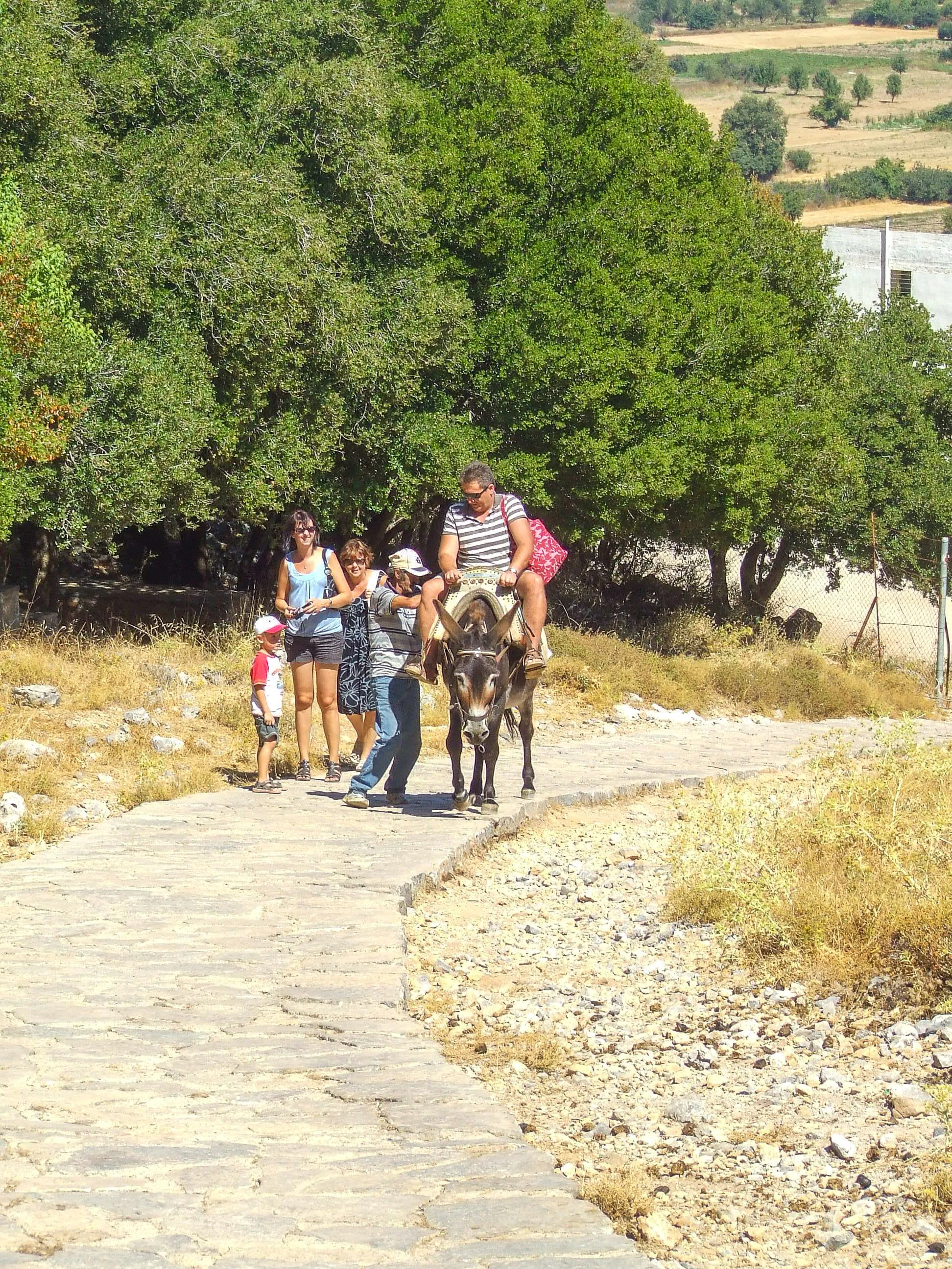
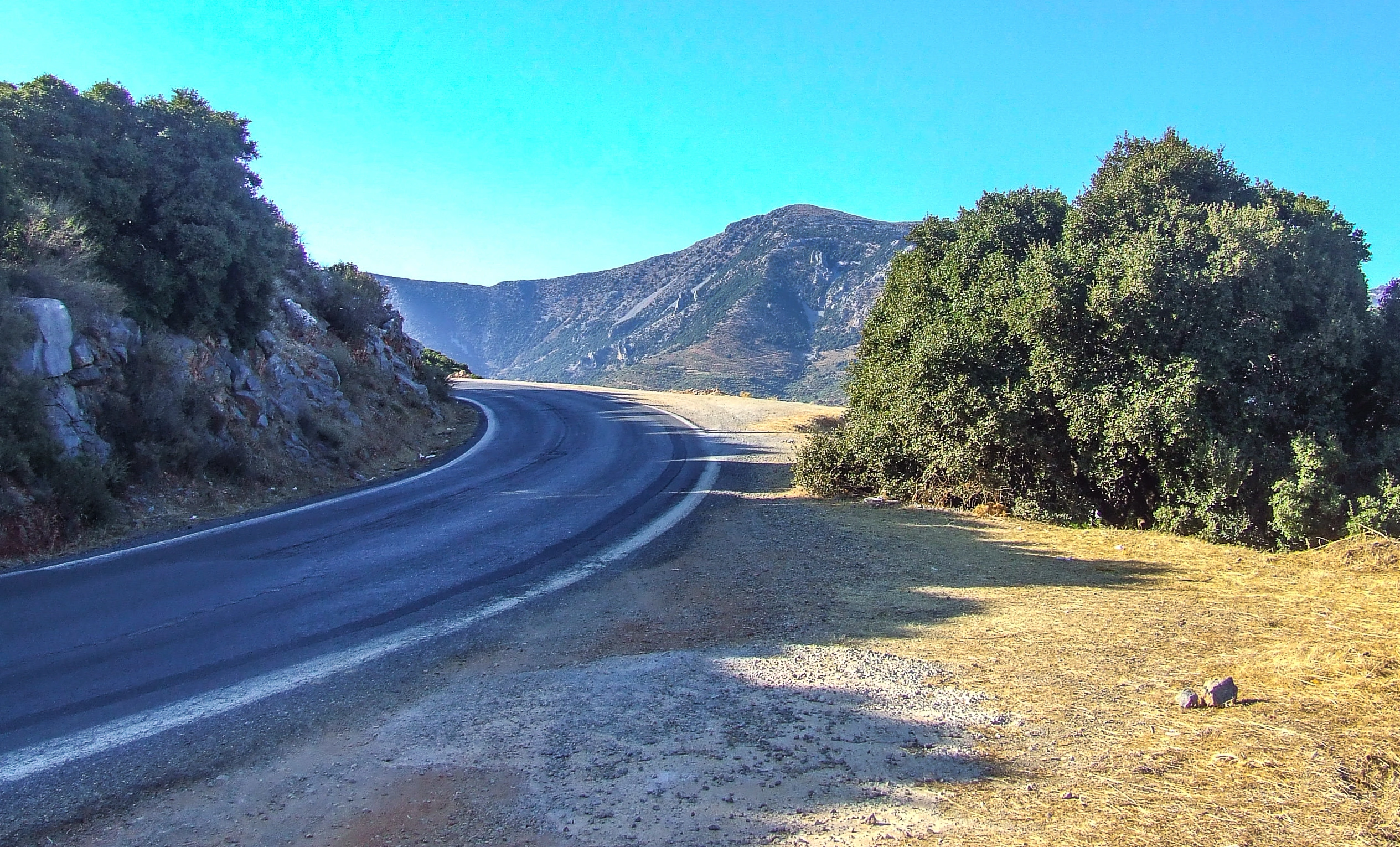
From Heraklion, take the national road toward Agios Nikolaos and follow signs to the plateau up a scenic mountain road of hairpin bends; the drive from either Heraklion or Agios Nikolaos takes about an hour. KTEL buses serve Tzermiado and Psychro from both cities, and organised bus tours or jeep safaris run from the coastal resorts. A full day allows the circular road round the villages, the climb to the Dikteon Cave (about 600 m uphill on foot from the car park — visitors should not ride the donkeys offered en route), tavernas in Tzermiado and Agios Georgios, and the museums; bring warm layers, as the cave interior is around 15°C and winter snow can lie on the plain into mid-spring .
The plateau itself is open, free terrain crossed by a 23-km circular road; the Dikteon Cave, museums and some sites charge separate admission. Accommodation ranges from rooms-to-let in Psychro, Tzermiado and Agios Georgios to small hotels; petrol, shops and medical services are concentrated in Tzermiado. Check the Dikteon Cave's current status before travelling, following its 2024–2026 renovation closure.
Contact Information
Municipality of Oropedio Lasithiou, seat Tzermiado. KTEL Lasithi operates bus services to Tzermiado and Psychro from Heraklion and Agios Nikolaos; cave and museum enquiries via the Ephorate of Antiquities of Lasithi.