HOME Ponta do Pargo Plateau Route

West Coast and Plateau Route

Miradouro Farol da Ponta do Pargo

Estrada do FarolPonta do PargoPorto Moniz, Madeira,   Portugal

a balcony or viewpoint overlooking a rugged coastline
a balcony or viewpoint overlooking a rugged coastline ‐ photo by ,
©www.mgaylard.co.uk.
a foggy ocean view
a foggy ocean view  ‐ photo by ,
©www.mgaylard.co.uk.
The cliff descends to a narrow beach with clear, turquoise water
The cliff descends to a narrow beach with clear, turquoise water ‐ photo by ,
©www.mgaylard.co.uk.
steep, grassy cliffs and a winding path leading down to a secluded beach
steep, grassy cliffs and a winding path leading down to a secluded beach ‐ photo by ,
©www.mgaylard.co.uk.
water is a deep blue, with waves crashing against the base of the cliff
water is a deep blue, with waves crashing against the base of the cliff ‐ photo by ,
©www.mgaylard.co.uk.
isolated rock formation in the turquoise sea
isolated rock formation in the turquoise sea ‐ photo by ,
©www.mgaylard.co.uk.
blue waters gently lapping against a rocky and grassy shoreline
blue waters gently lapping against a rocky and grassy shoreline ‐ photo by ,
©www.mgaylard.co.uk.
group of people hiking along a cliff
group of people hiking along a cliff ‐ photo by ,
©www.mgaylard.co.uk.
The sky is overcast with dark, heavy clouds
The sky is overcast with dark, heavy clouds ‐ photo by ,
©www.mgaylard.co.uk.
a lighthouse with a white structure and a red lantern room at the top
a lighthouse with a white structure and a red lantern room at the top ‐ photo by ,
©www.mgaylard.co.uk.
a deep blue ocean
a deep blue ocean ‐ photo by ,
©www.mgaylard.co.uk.
steep cliffs and a cloudy sky overhead
View of Pargo ‐ photo by ,
©www.mgaylard.co.uk.
Open the full set flickr button this page

Miradouro Farol da Ponta do Pargo

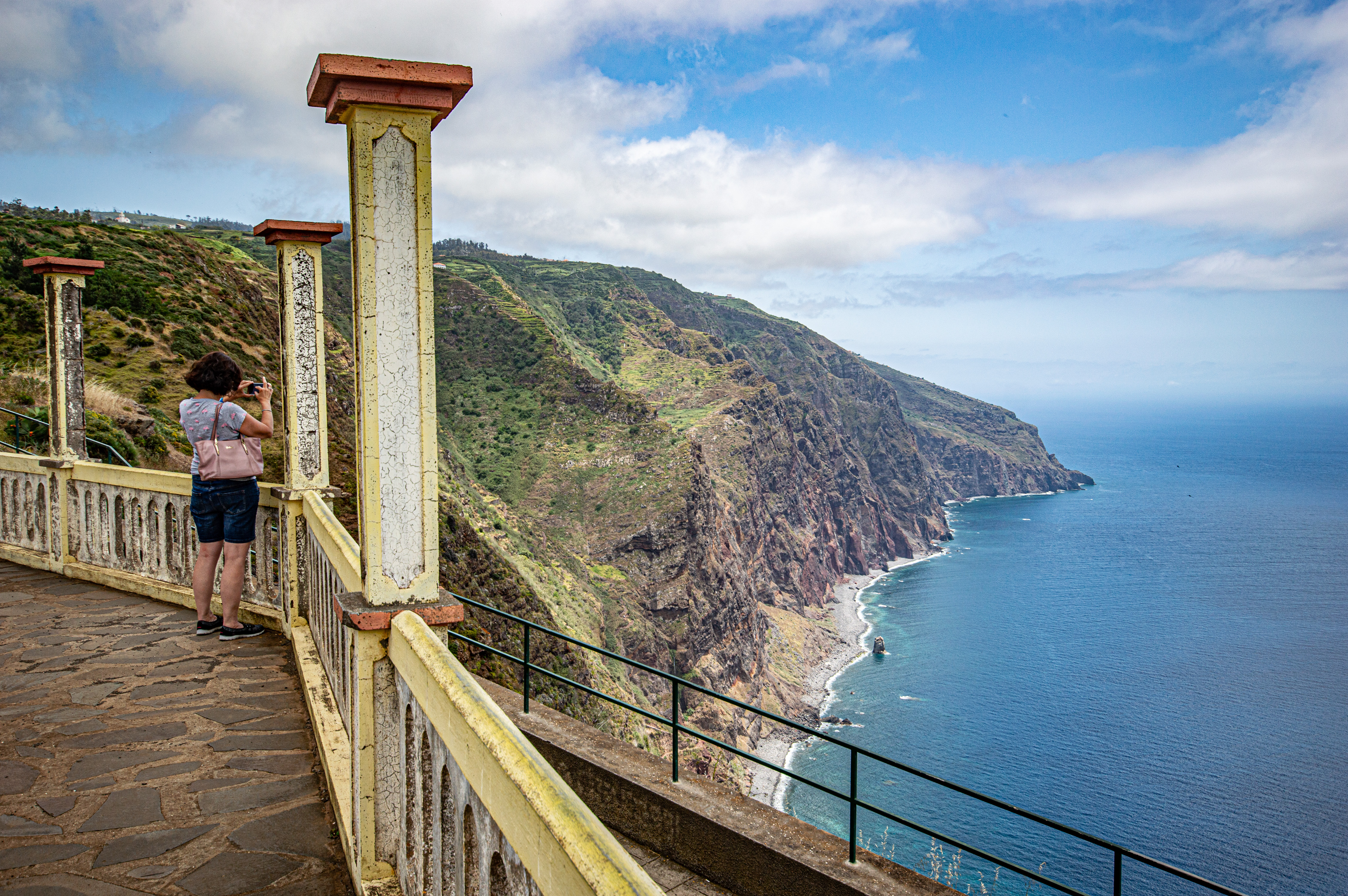
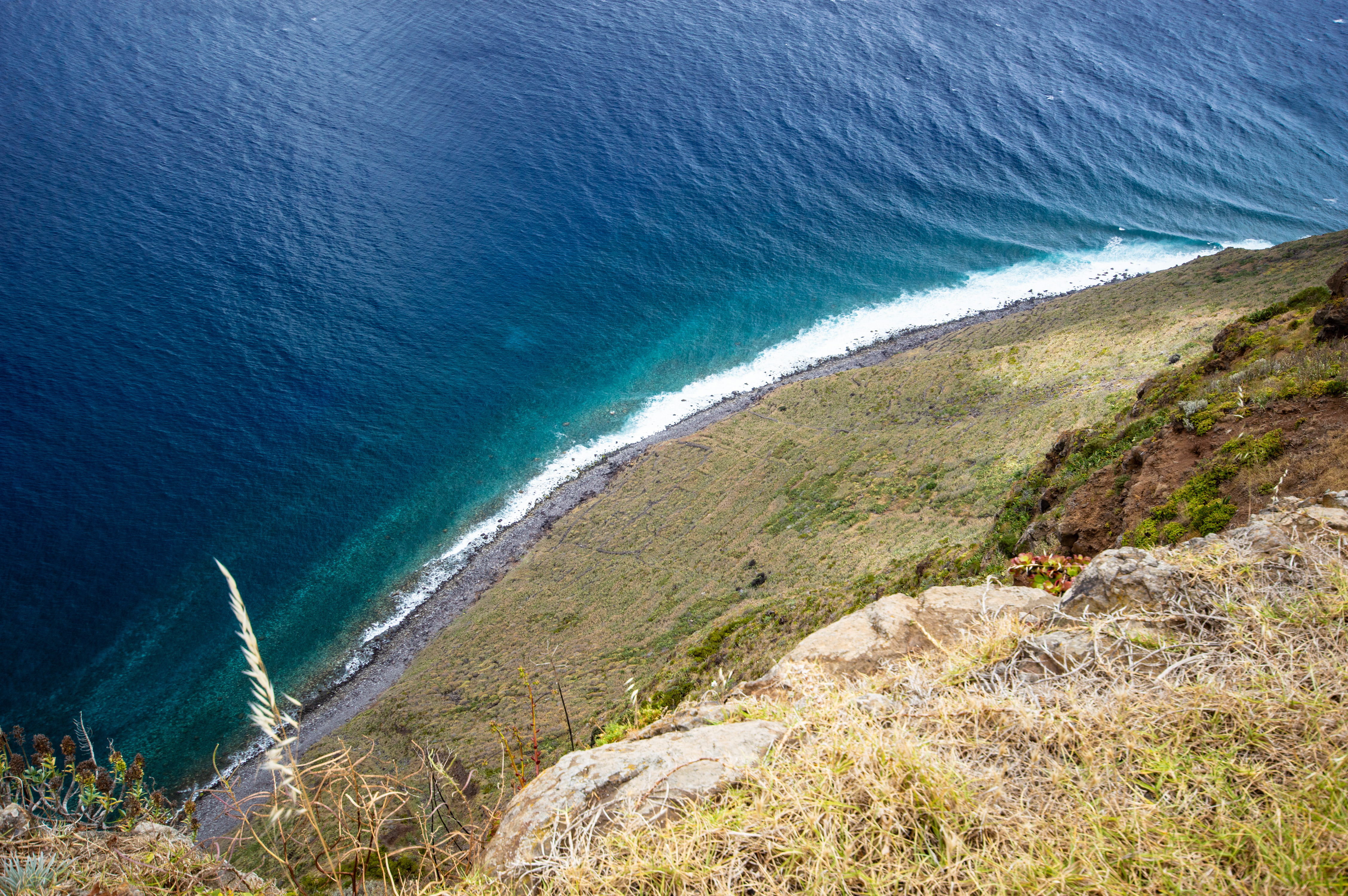
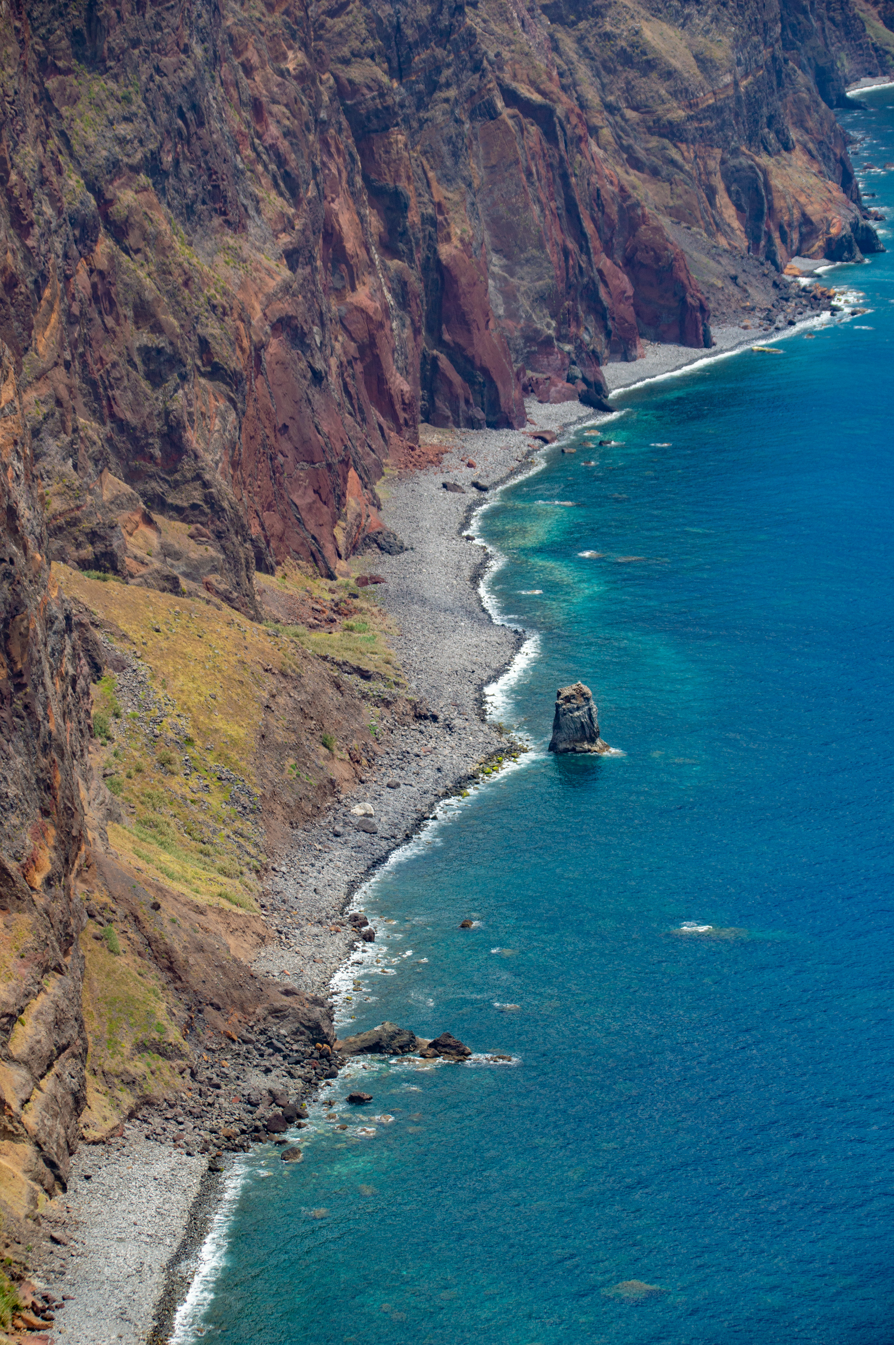
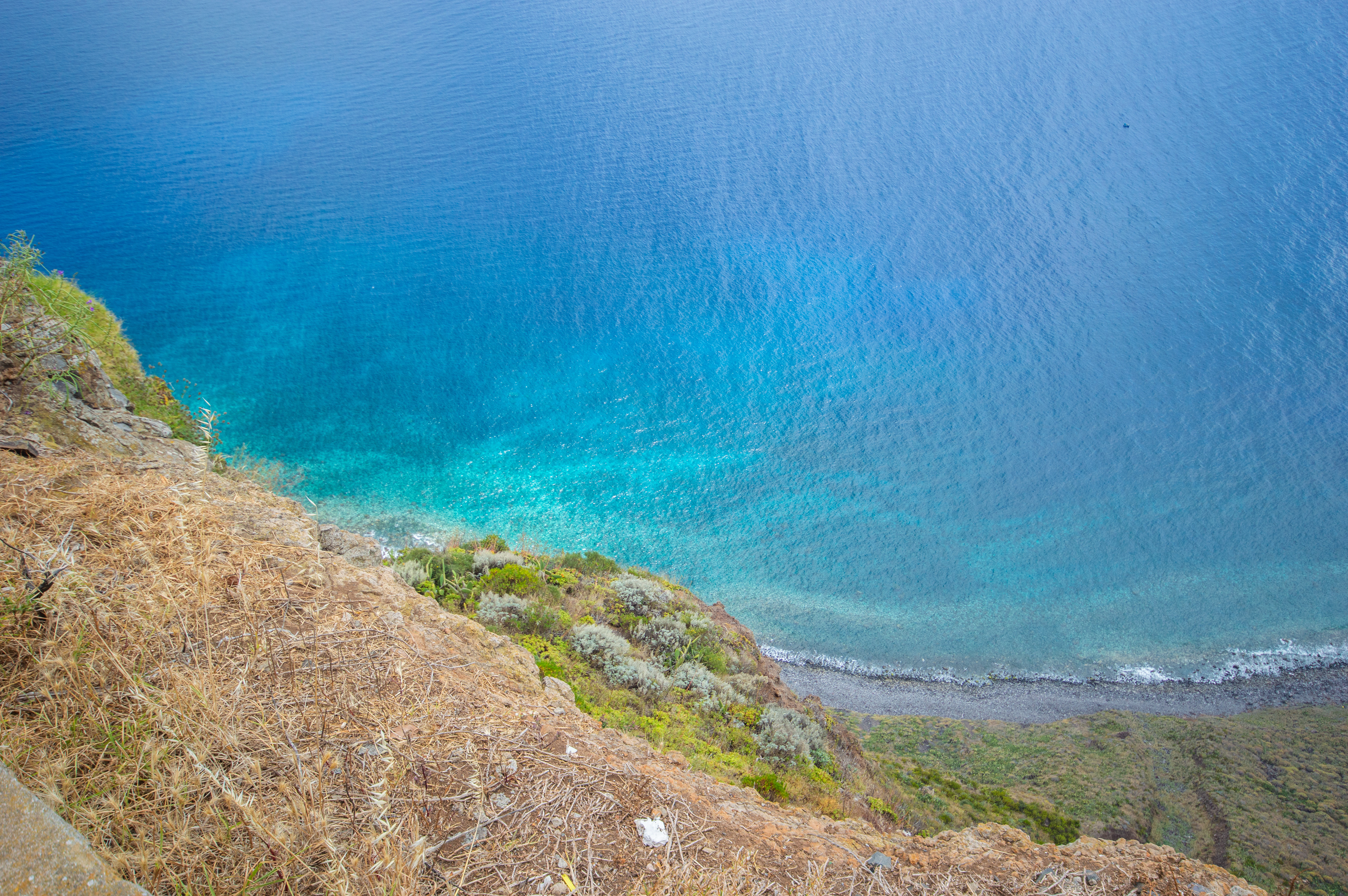
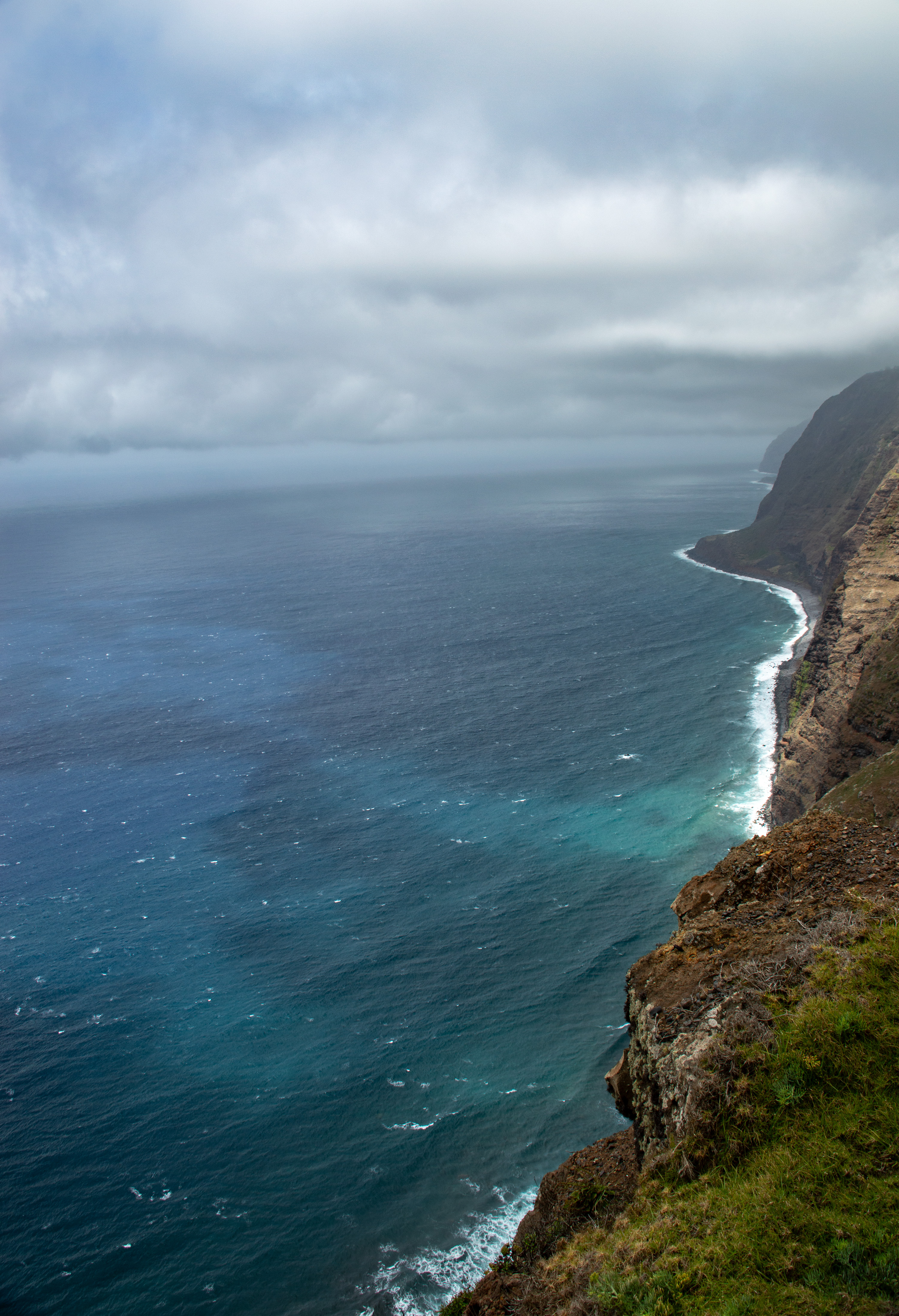
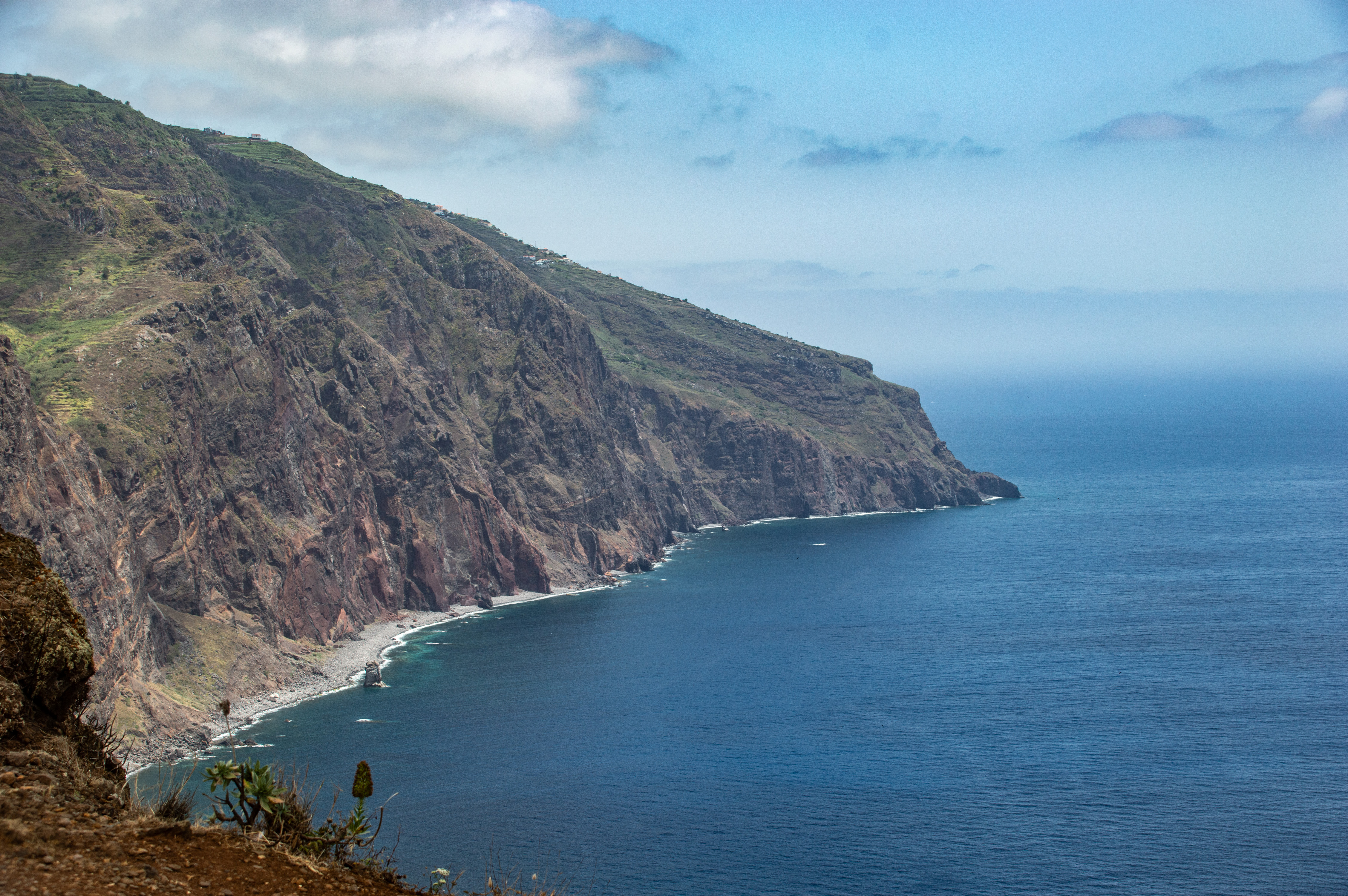
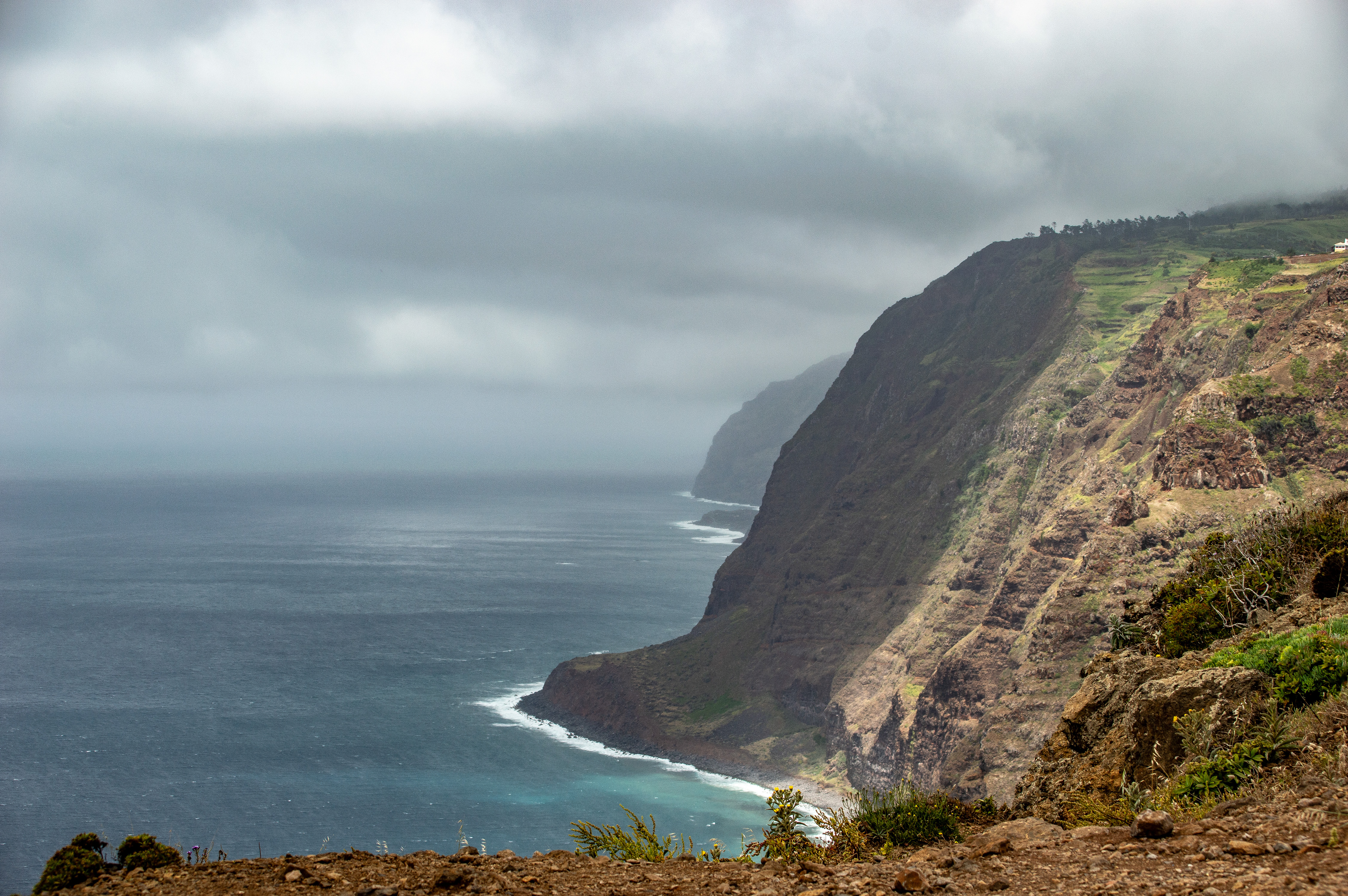
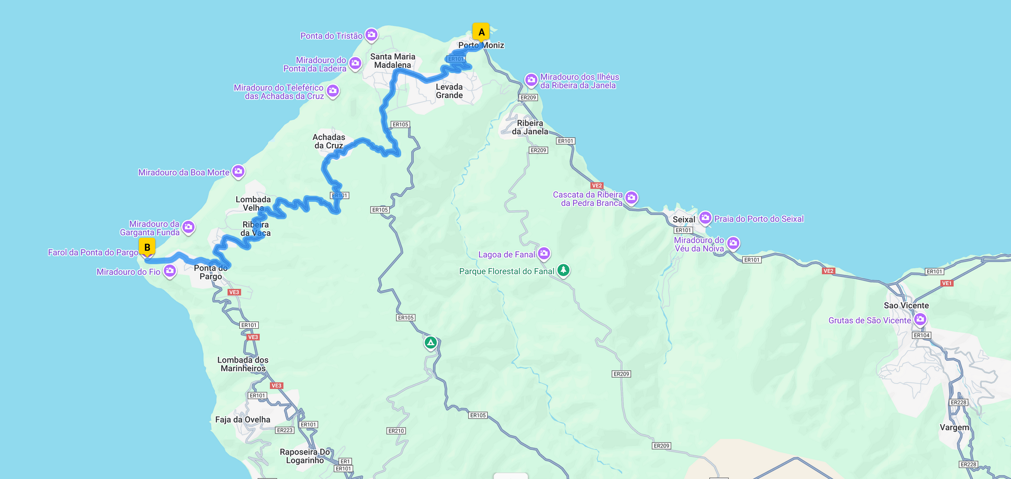
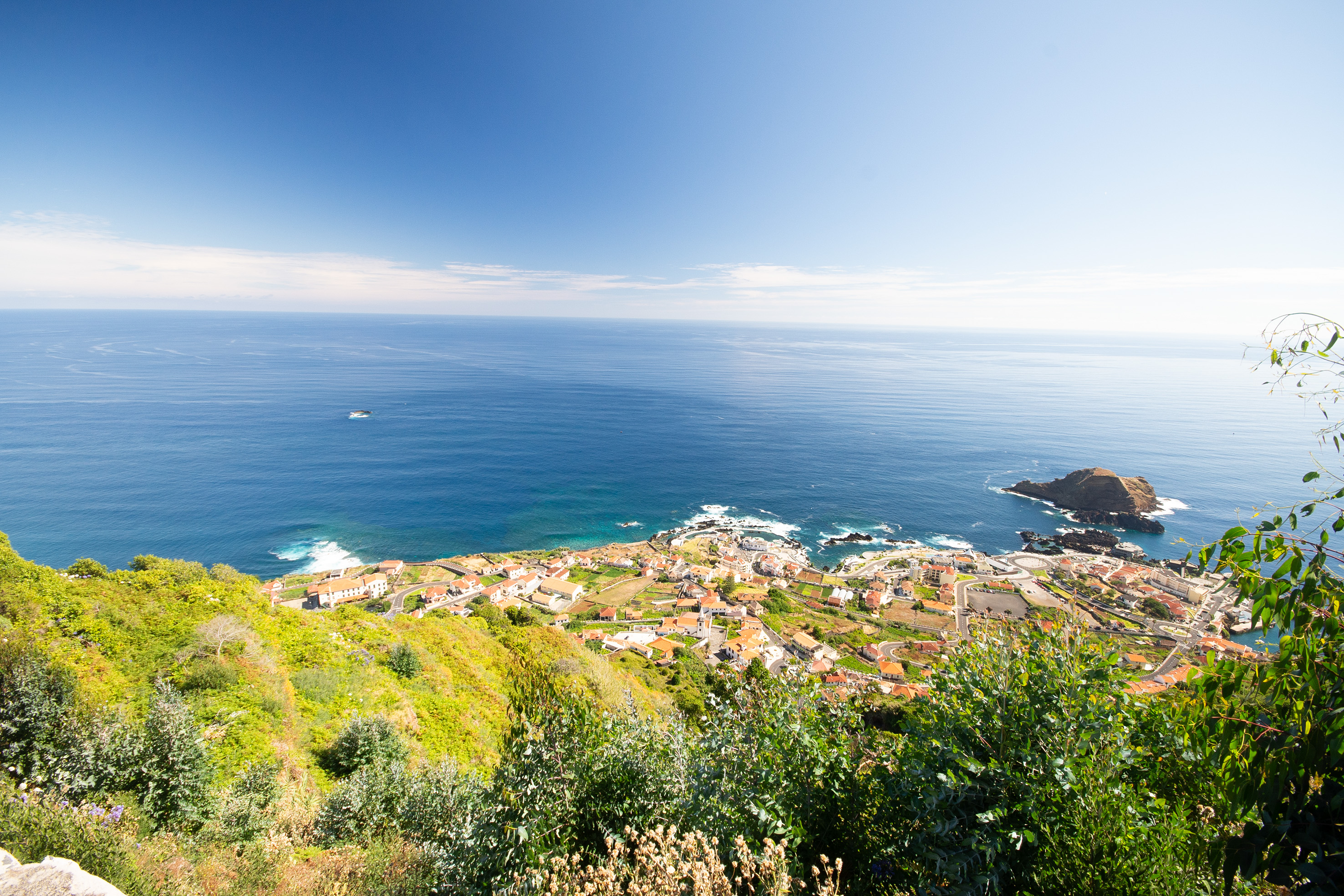
Miradouro Farol da Ponta do Pargo is the westernmost viewpoint of Madeira, offering dramatic Atlantic panoramas and a historic lighthouse perched on 290-meter cliffs. It’s both a scenic lookout and a cultural landmark, blending natural grandeur with maritime heritage.

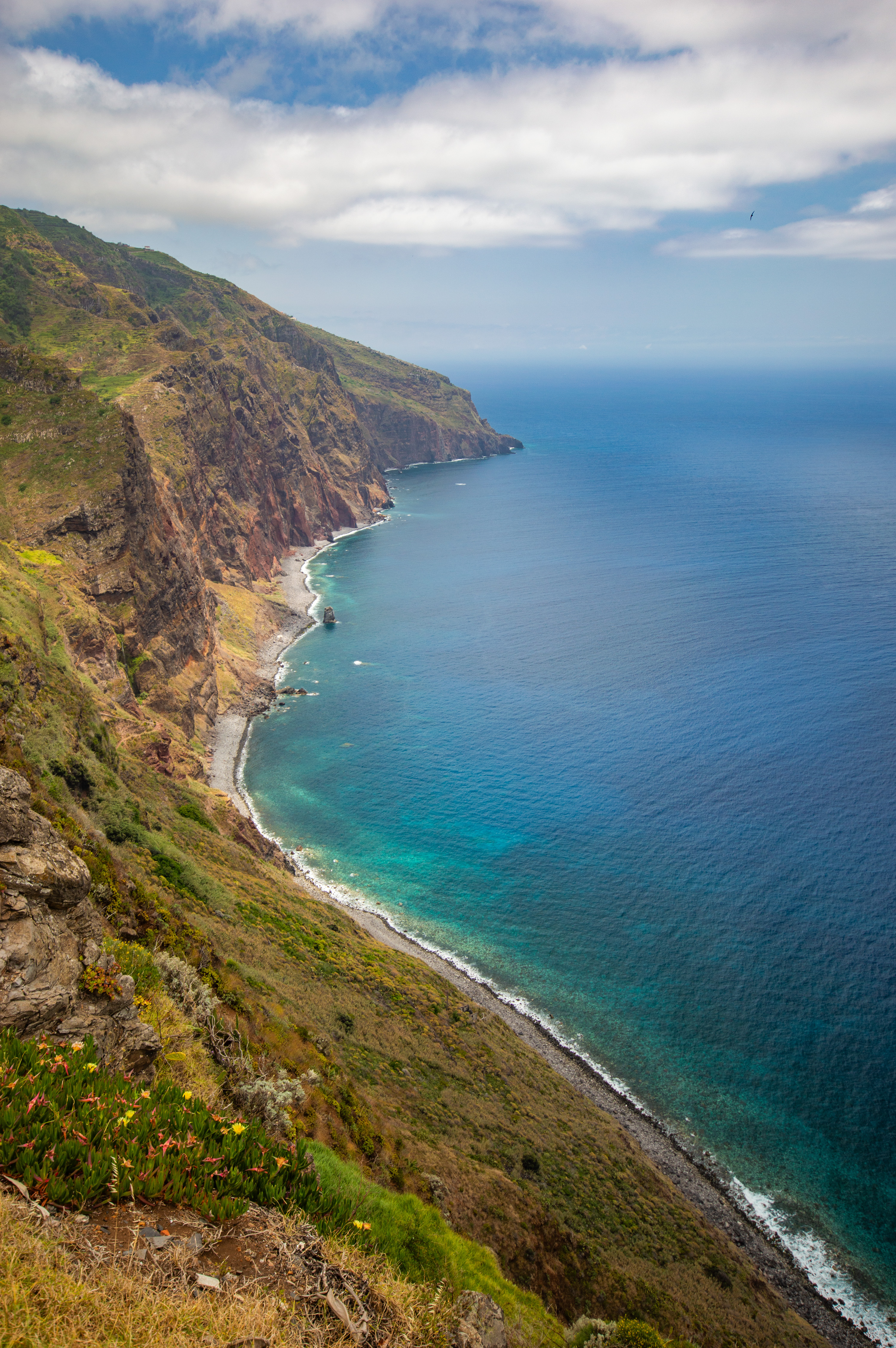
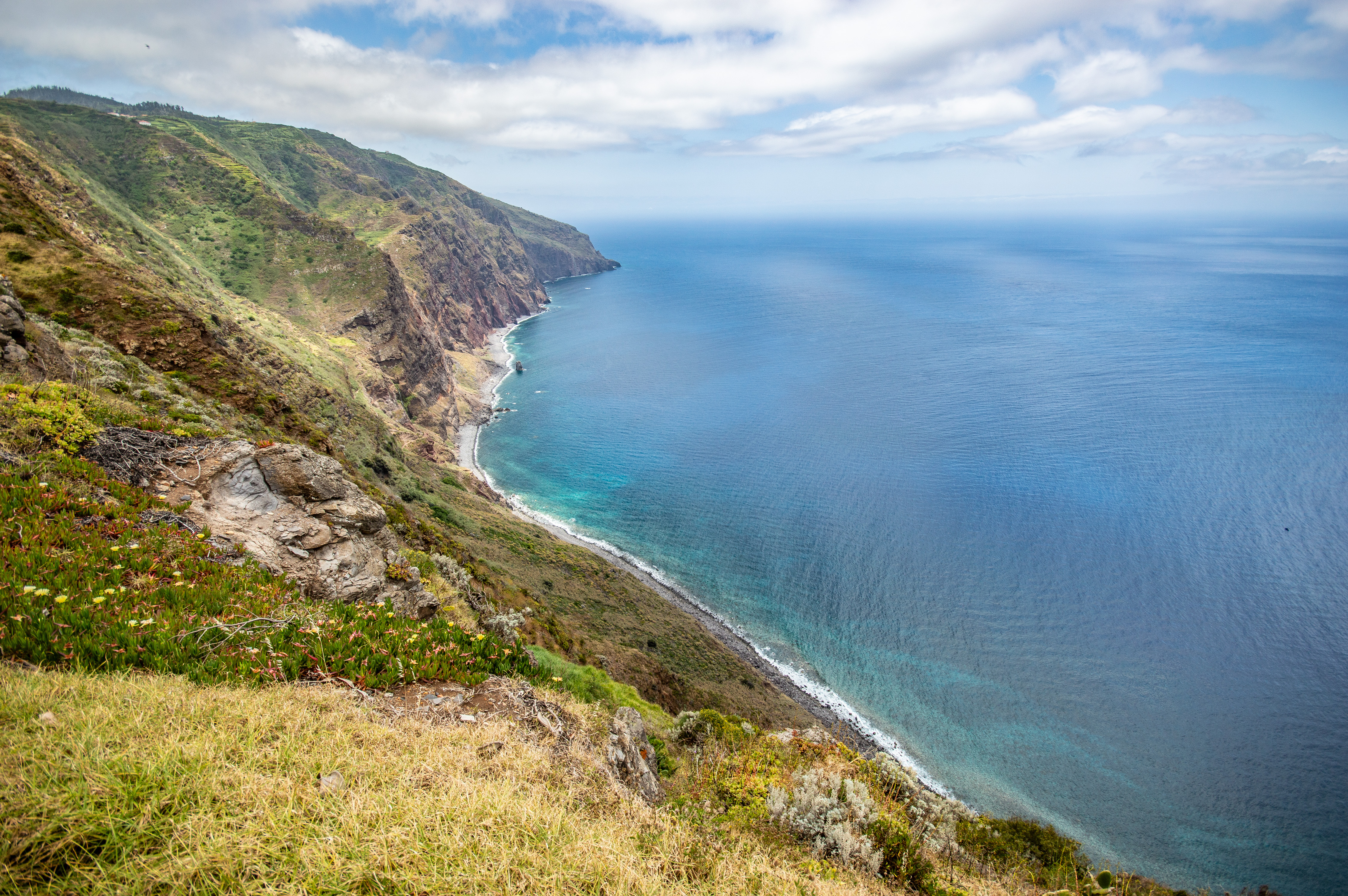
Situated at Ponta da Vigia, the far western cape of Madeira, the cliffs rise nearly 290 meters above sea level, giving sweeping views of the Atlantic and rugged coastline.

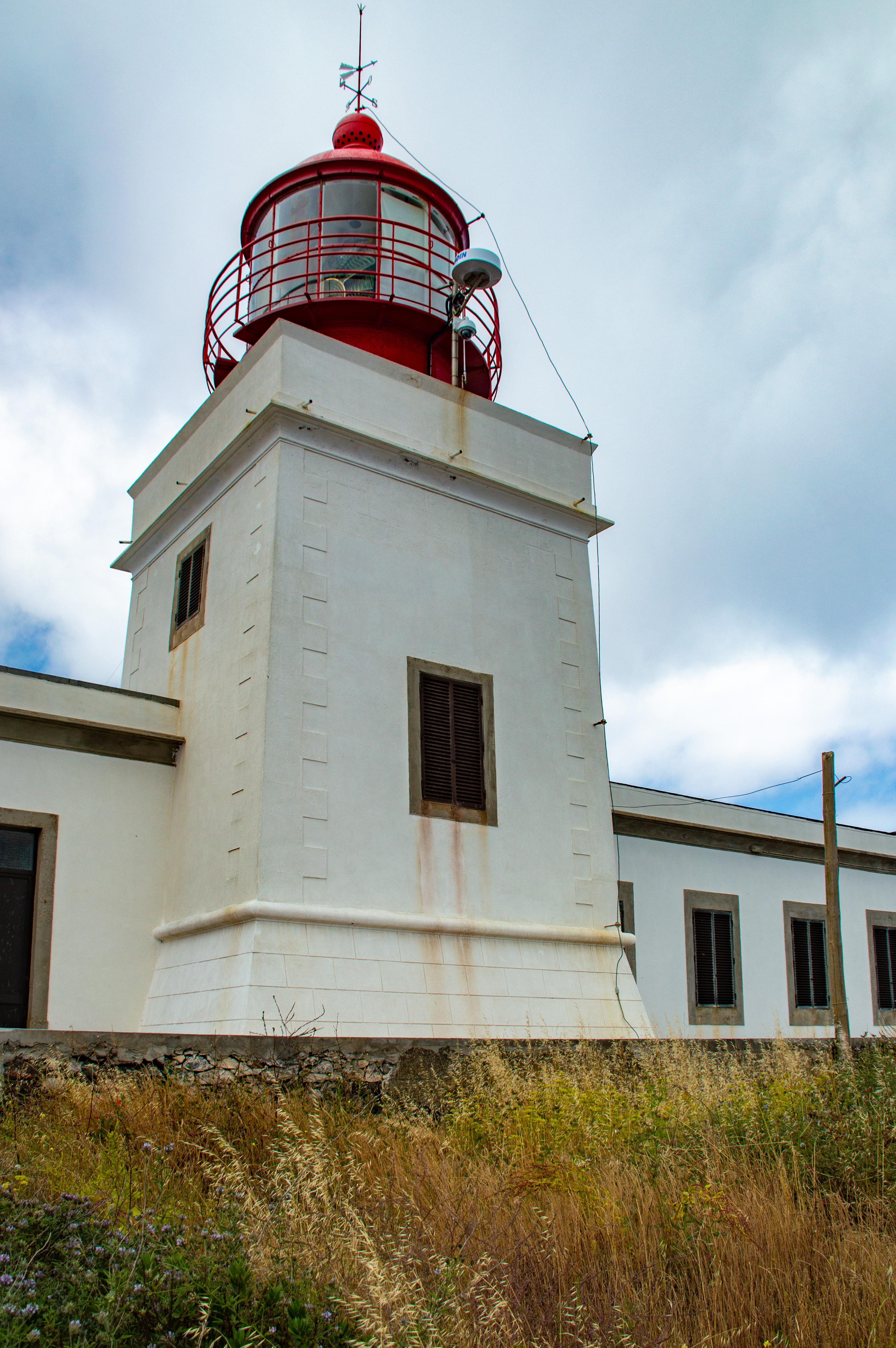
The Lighthouse was built in 1922, the Farol da Ponta do Pargo is a 14-meter cylindrical tower with a red lantern roof. Its focal height is 312 meters, making it one of Portugal’s highest lighthouses. Equipped with a second-order Fresnel lens, its light reaches 26 nautical miles (48 km) into the ocean. Classified as Heritage of Local Value, it remains an active lighthouse guiding ships along Madeira’s western coast.

Unmatched sunsets: the western horizon makes this one of Madeira’s best sunset spots.

References

visitmadeira.comen.wikipedia.orgwww.alltrails.com , Text generated by Microsoft CoPilot

Paul da Serra

Madeira,   Portugal

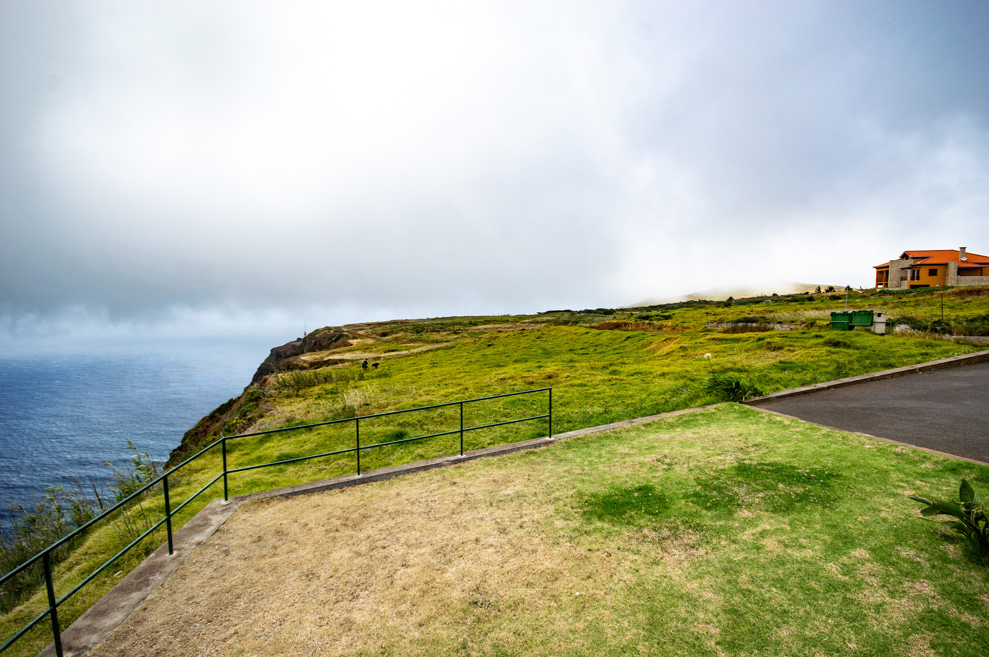
Paul da Serra is a vast plateau and nature reserve located in the central part of Madeira, Portugal. At an elevation of around 1,500 meters, it is the island's largest plateau and a haven for endemic flora, hiking trails, and stunning panoramic views.
The Old Road
The Old Road Out Of Porto Moniz ‐ photo by ,
©www.mgaylard.co.uk.
Porto Moniz
Porto Moniz ‐ photo by ,
©www.mgaylard.co.uk.
Porto Moniz
Porto Moniz ‐ photo by ,
©www.mgaylard.co.uk.
Porto Moniz
Porto Moniz ‐ photo by ,
©www.mgaylard.co.uk.
rolling hills extending into the distance
rolling hills extending into the distance ‐ photo by ,
©www.mgaylard.co.uk.
lush, green hillside under a clear blue sky
lush, green hillside under a clear blue sky ‐ photo by ,
©www.mgaylard.co.uk.
cows standing on and near a paved road
cows standing on and near a paved road ‐ photo by ,
©www.mgaylard.co.uk.
black cow grazing
black cow grazing ‐ photo by ,
©www.mgaylard.co.uk.
The peaks are partially shrouded in clouds
The peaks are partially shrouded in clouds ‐ photo by ,
©www.mgaylard.co.uk.
The hills are covered with a mix of green shrubs and dry grass
The hills are covered with a mix of green shrubs and dry grass ‐ photo by ,
©www.mgaylard.co.uk.
a winding road in a mountainous area
a winding road in a mountainous area ‐ photo by ,
©www.mgaylard.co.uk.
The trail is surrounded by dense shrubbery and trees, with a clear blue sky overhead
The trail is surrounded by dense shrubbery and trees, with a clear blue sky overhead ‐ photo by ,
©www.mgaylard.co.uk.
a winding road ascending a lush, green hillside
a winding road ascending a lush, green hillside ‐ photo by ,
©www.mgaylard.co.uk.
a scenic landscape with a clear blue sky dotted with white clouds
a scenic landscape with a clear blue sky dotted with white clouds ‐ photo by ,
©www.mgaylard.co.uk.
Two cyclists are riding on the road
Two cyclists are riding on the road ‐ photo by ,
©www.mgaylard.co.uk.
a lush, green valley
a lush, green valley ‐ photo by ,
©www.mgaylard.co.uk.
green mountainous landscape with winding paths
green mountainous landscape with winding paths ‐ photo by ,
©www.mgaylard.co.uk.
mountainous landscape with rugged terrain
mountainous landscape with rugged terrain ‐ photo by ,
©www.mgaylard.co.uk.
a breathtaking mountainous landscape
a breathtaking mountainous landscape ‐ photo by ,
©www.mgaylard.co.uk.
mountainous landscape with lush greenery, terraced hillsides
mountainous landscape with lush greenery, terraced hillsides ‐ photo by ,
©www.mgaylard.co.uk.
Open the full set flickr button this page

Paul da Serra

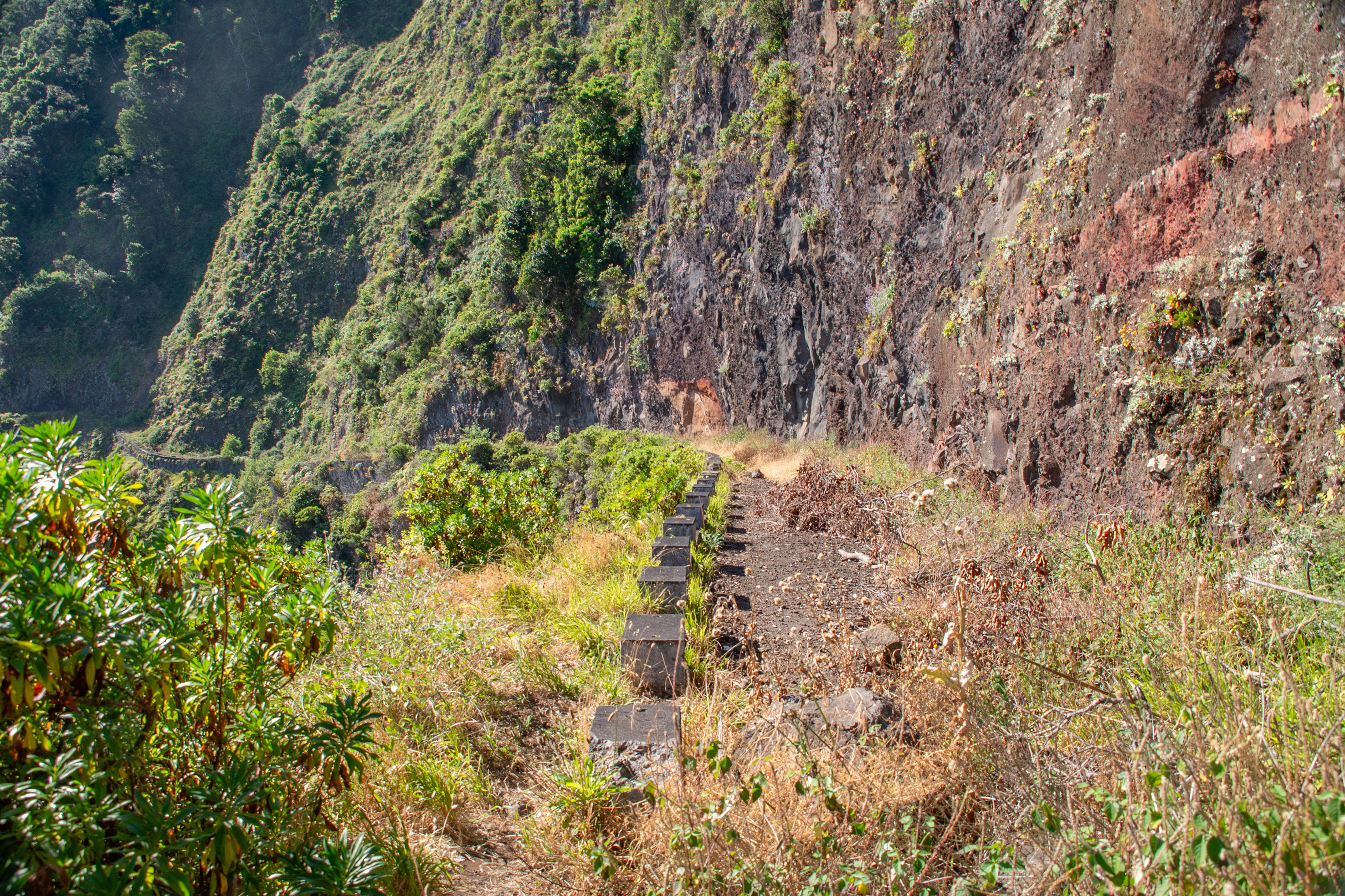
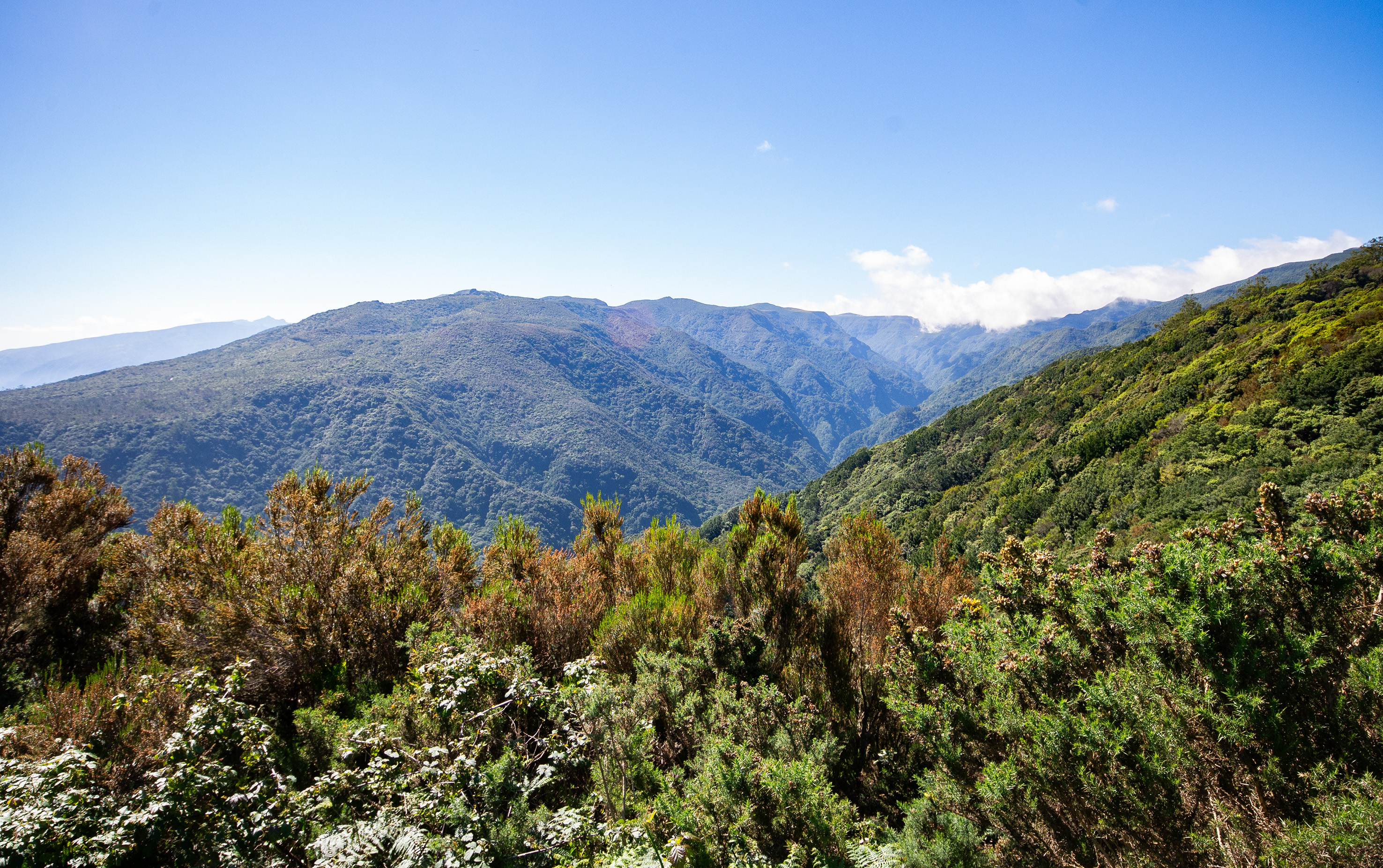
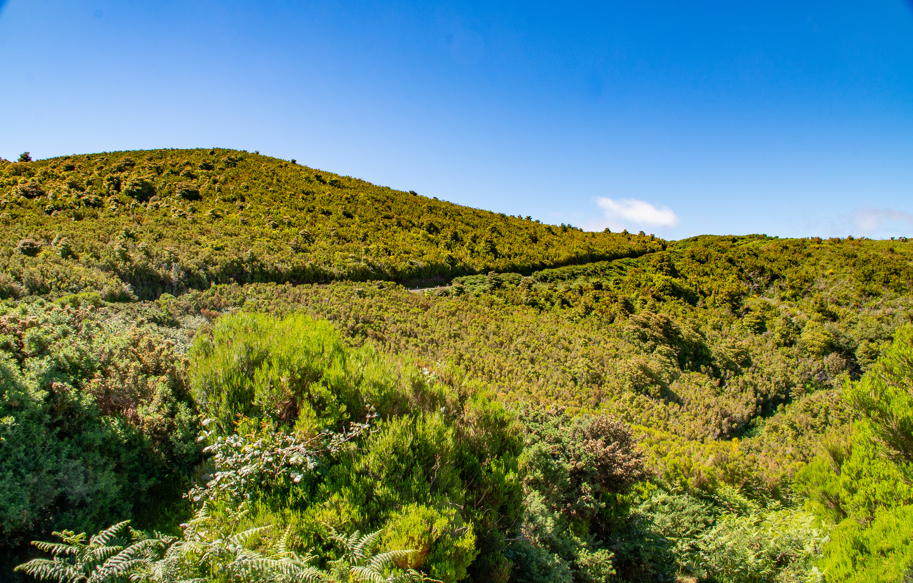
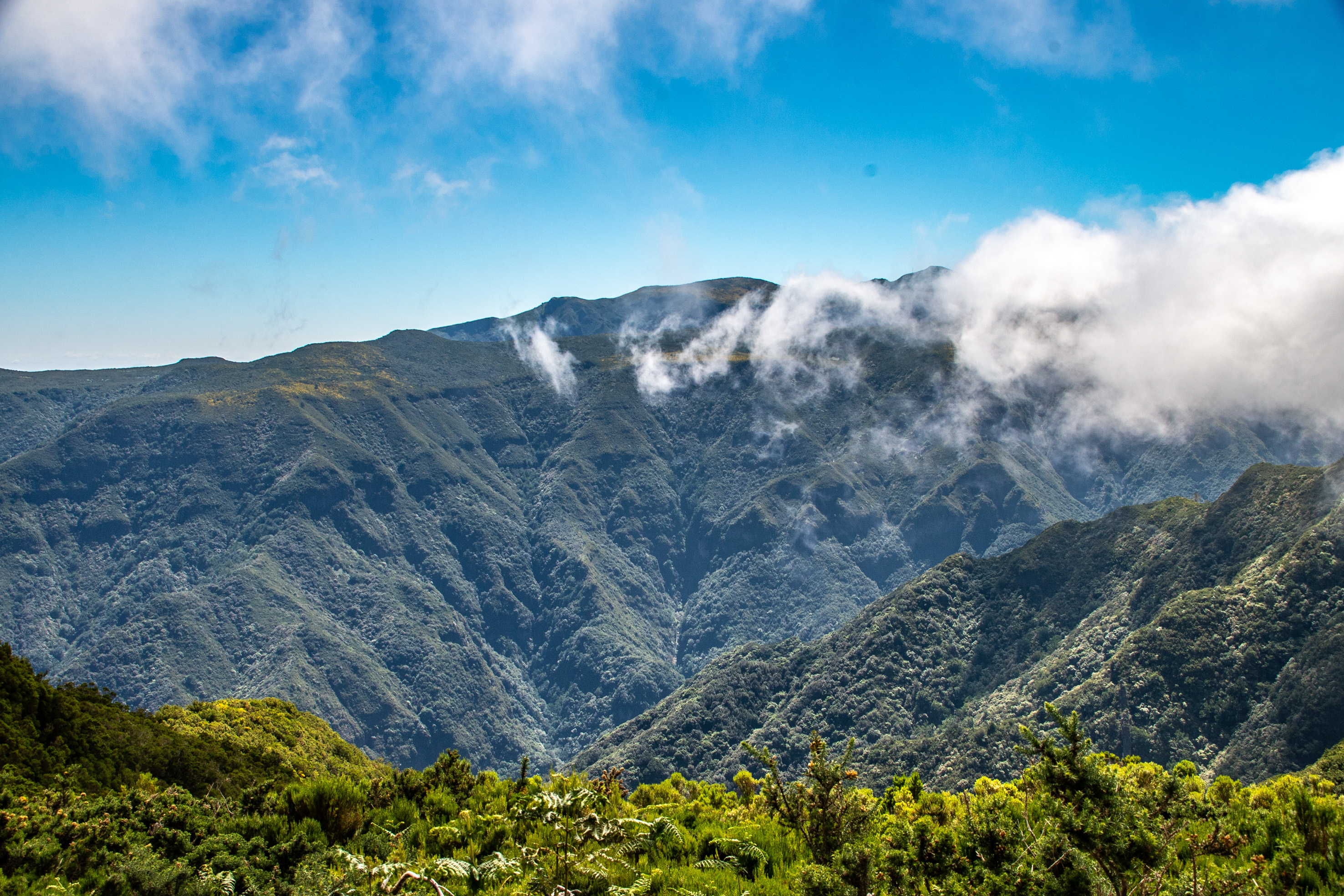
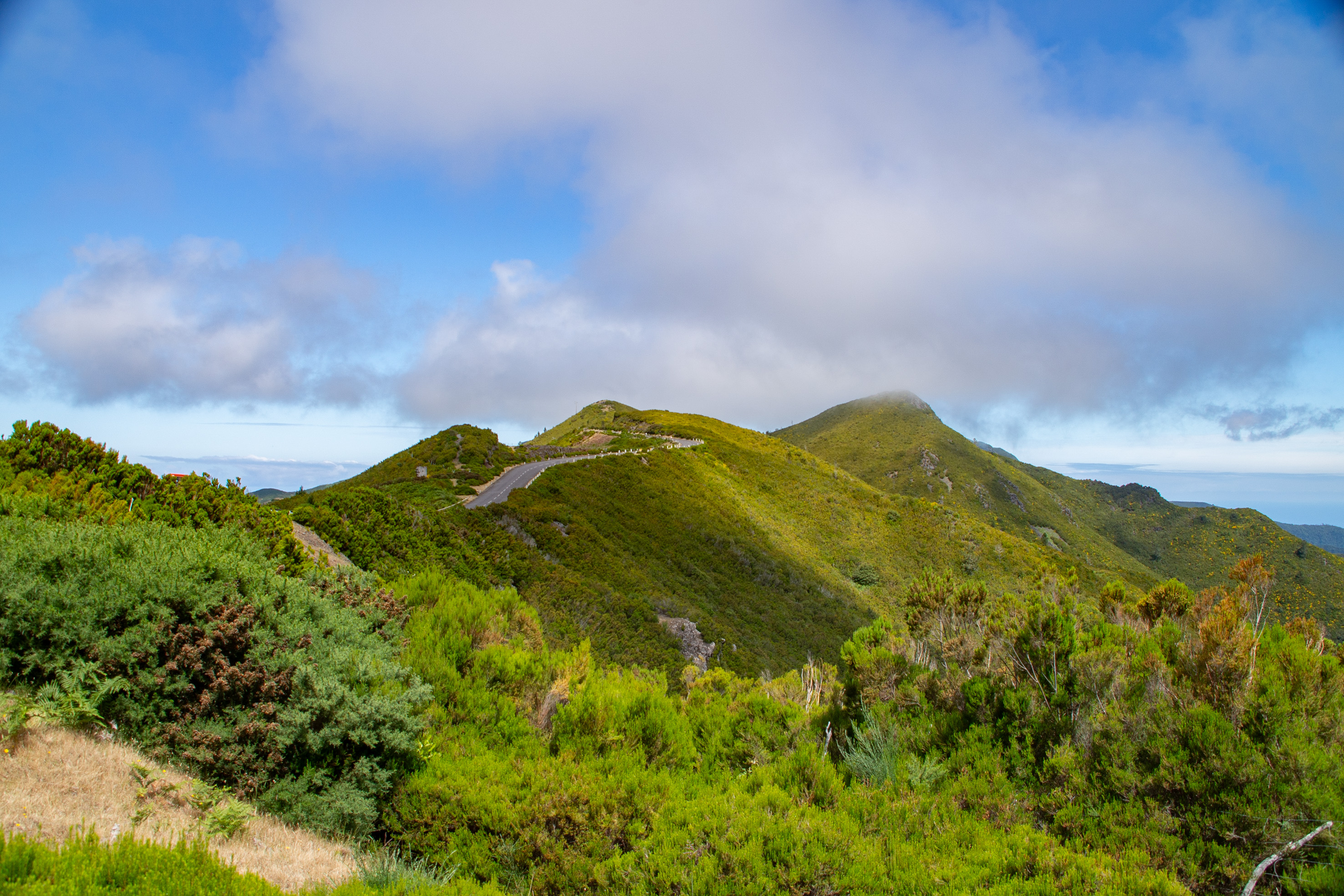
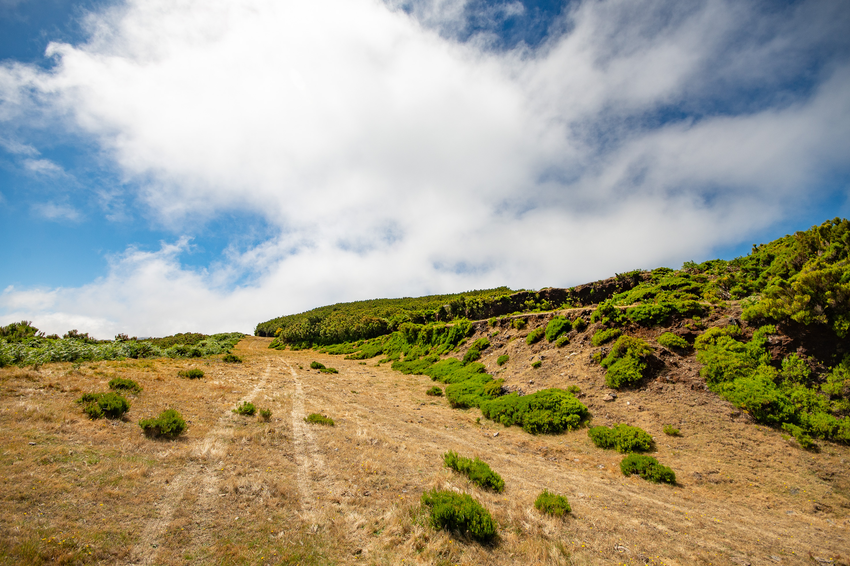
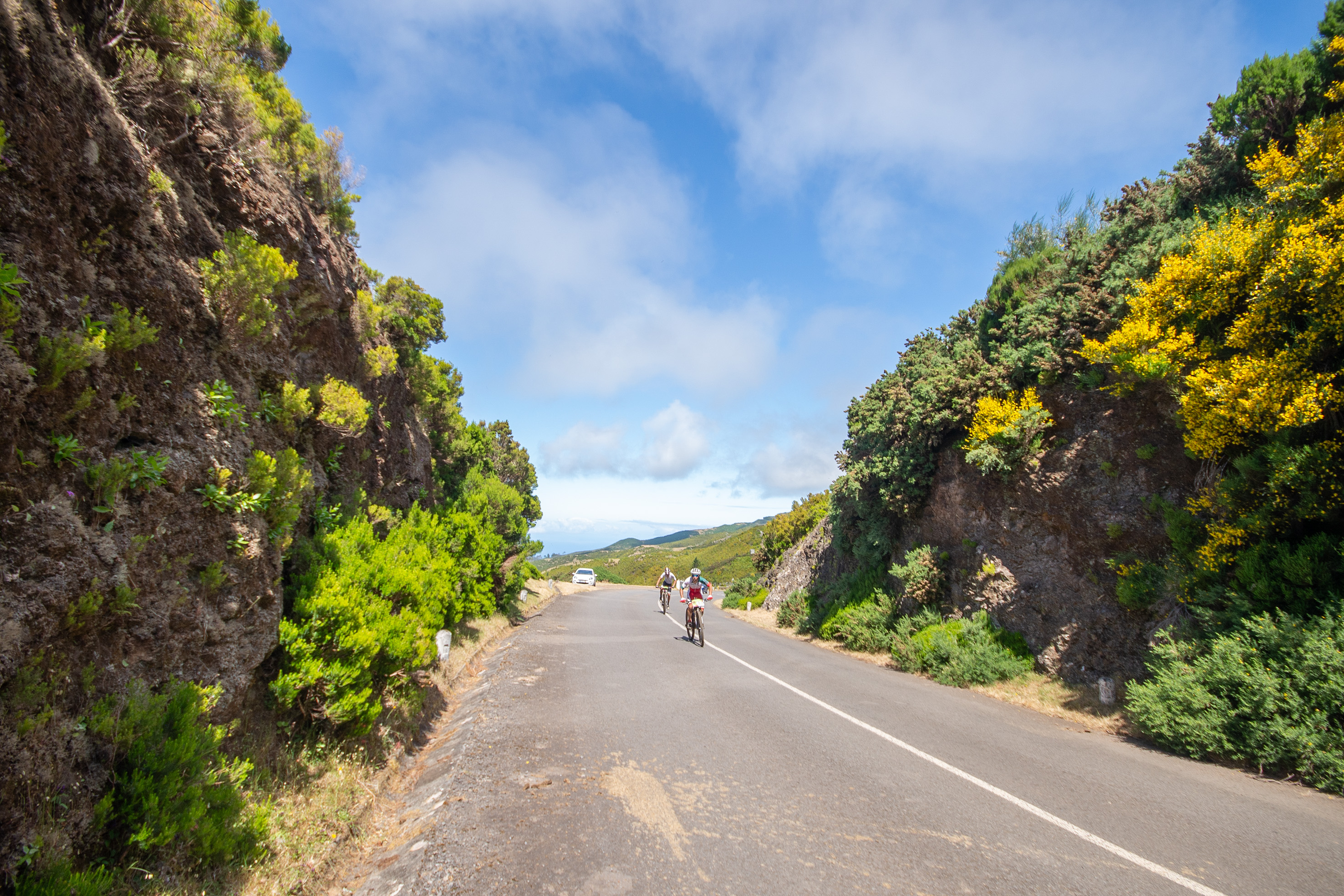
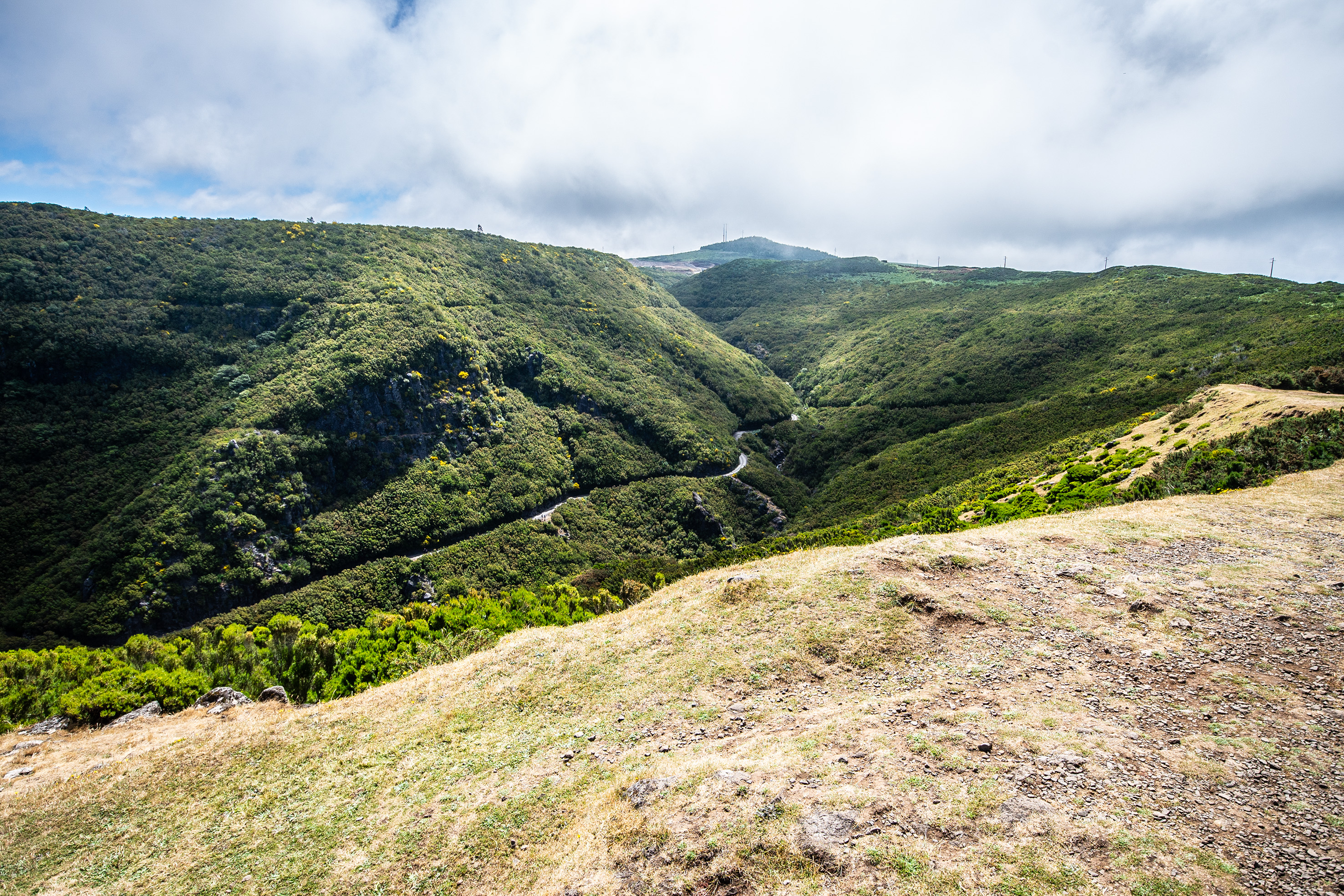
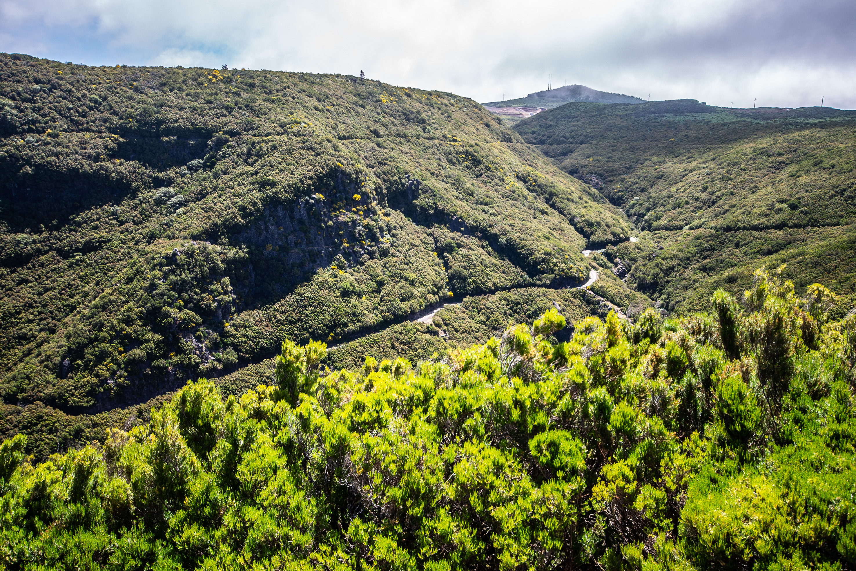
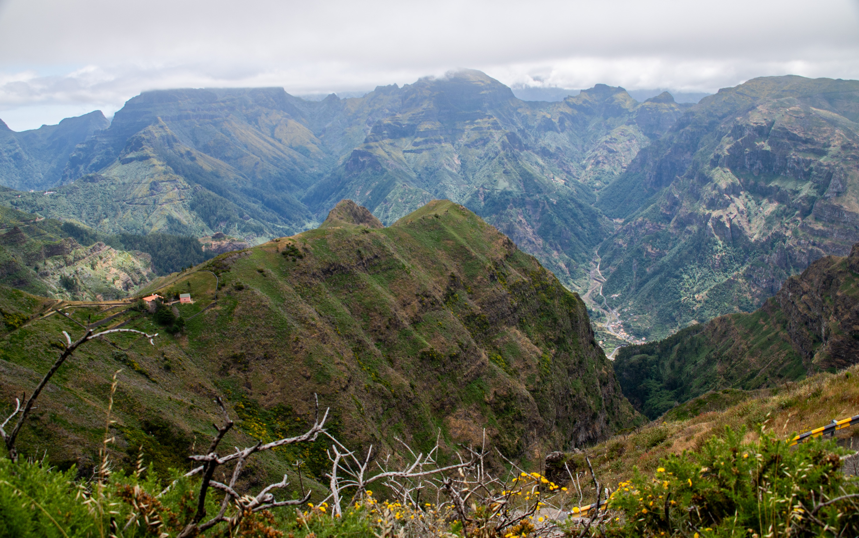
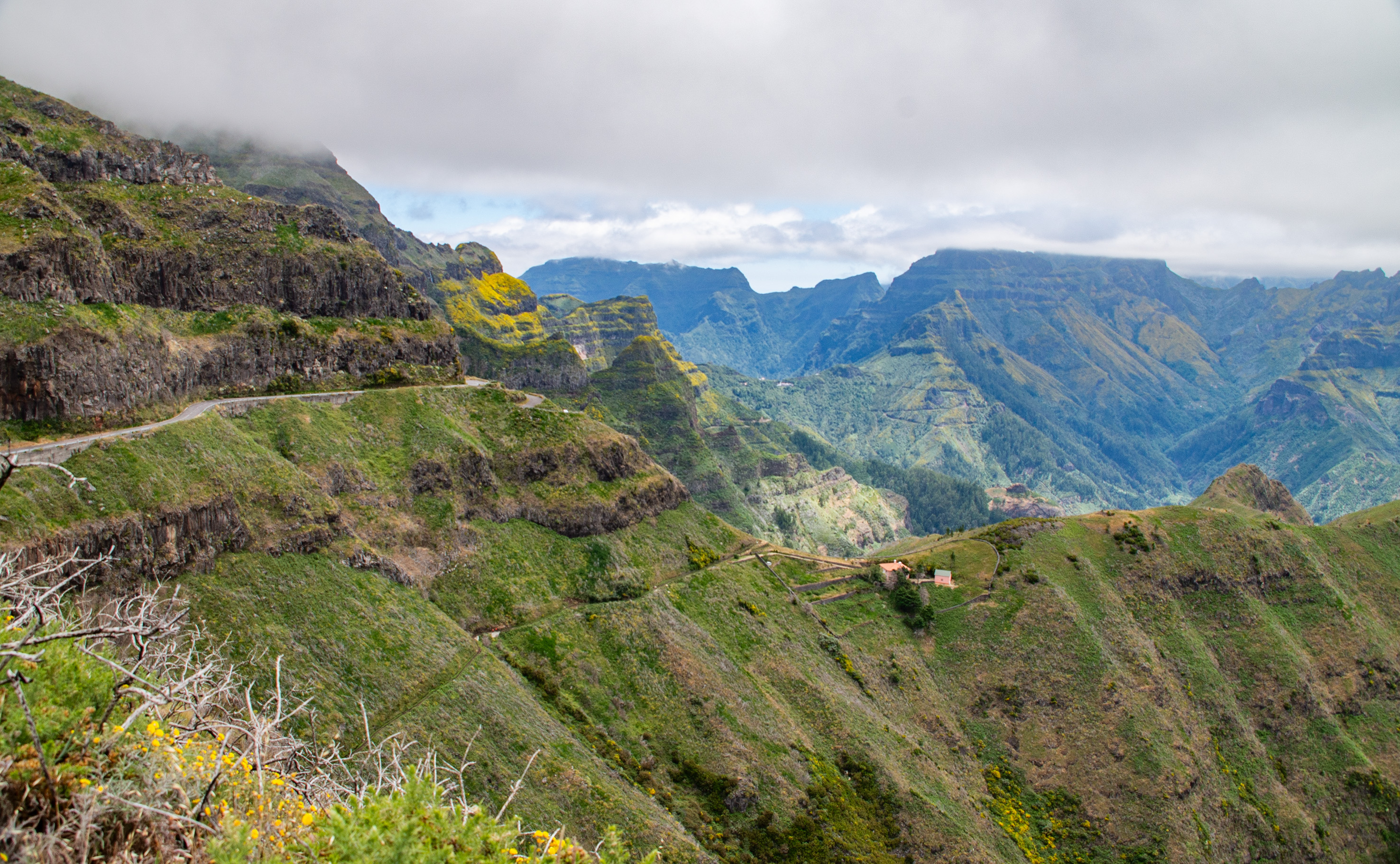
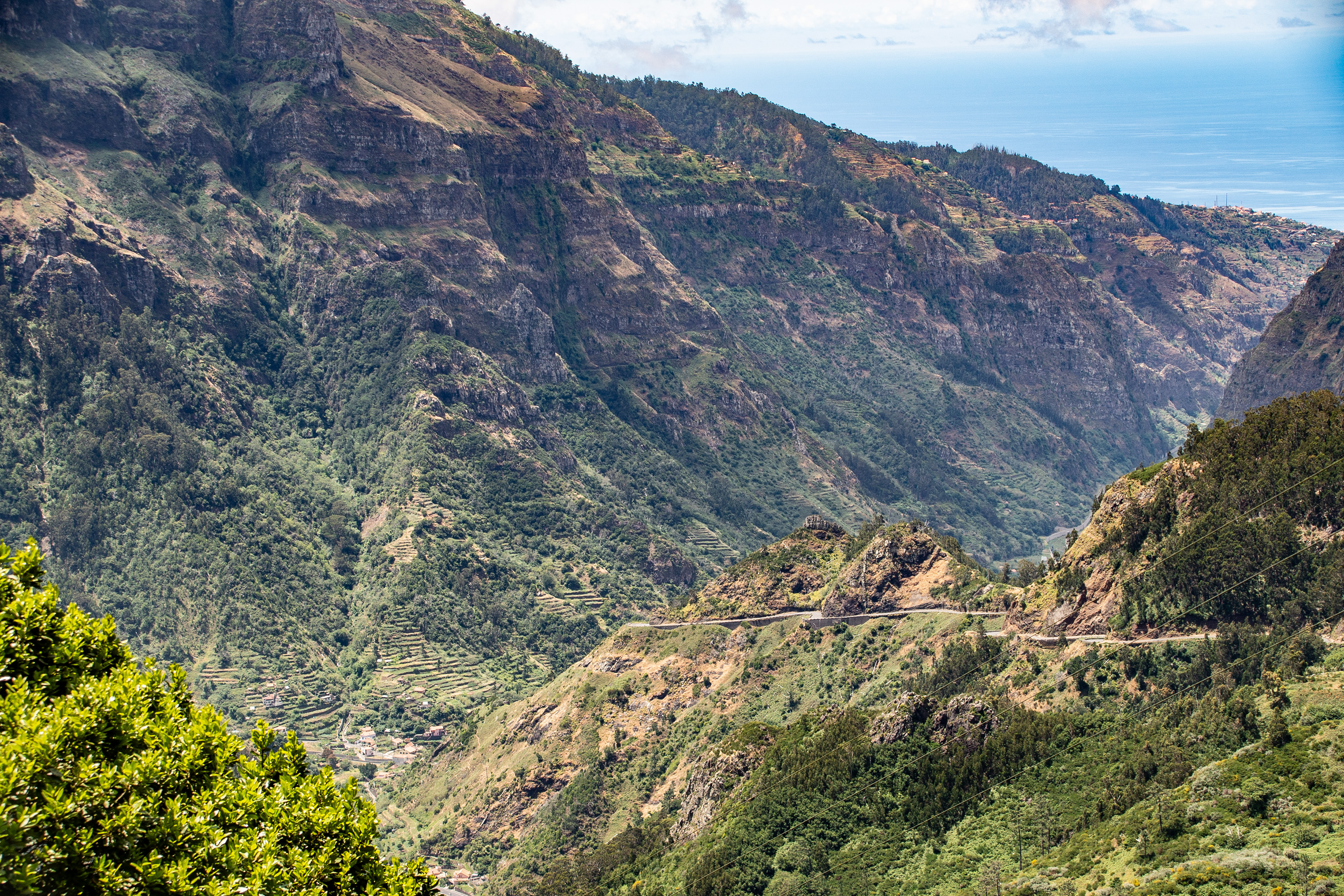
The Madeira Plateau, known as Paul da Serra, is the island’s only true plateau—an expansive, windswept highland averaging 1,500 m in altitude and stretching across 24 km². It’s a striking contrast to Madeira’s steep valleys and coastal cliffs, offering wide horizons, unique ecology, and a gateway to many famous hiking trails.

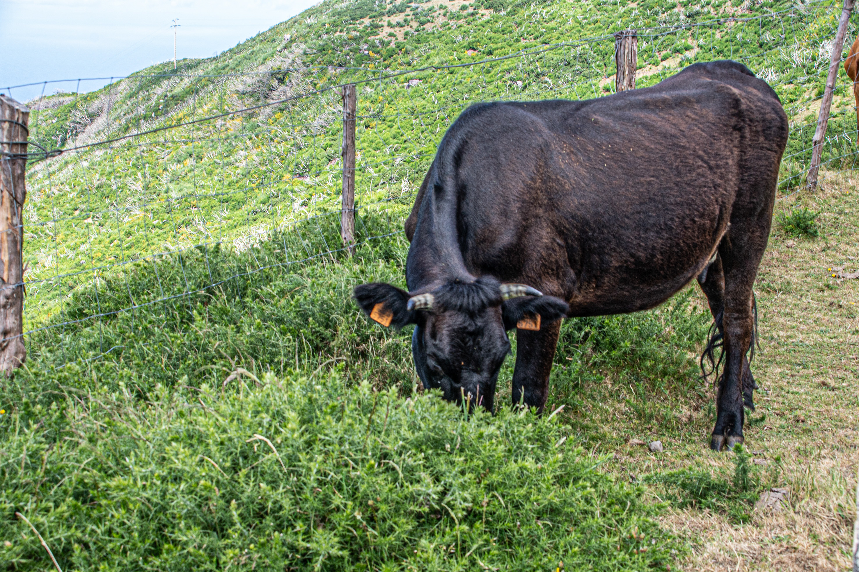
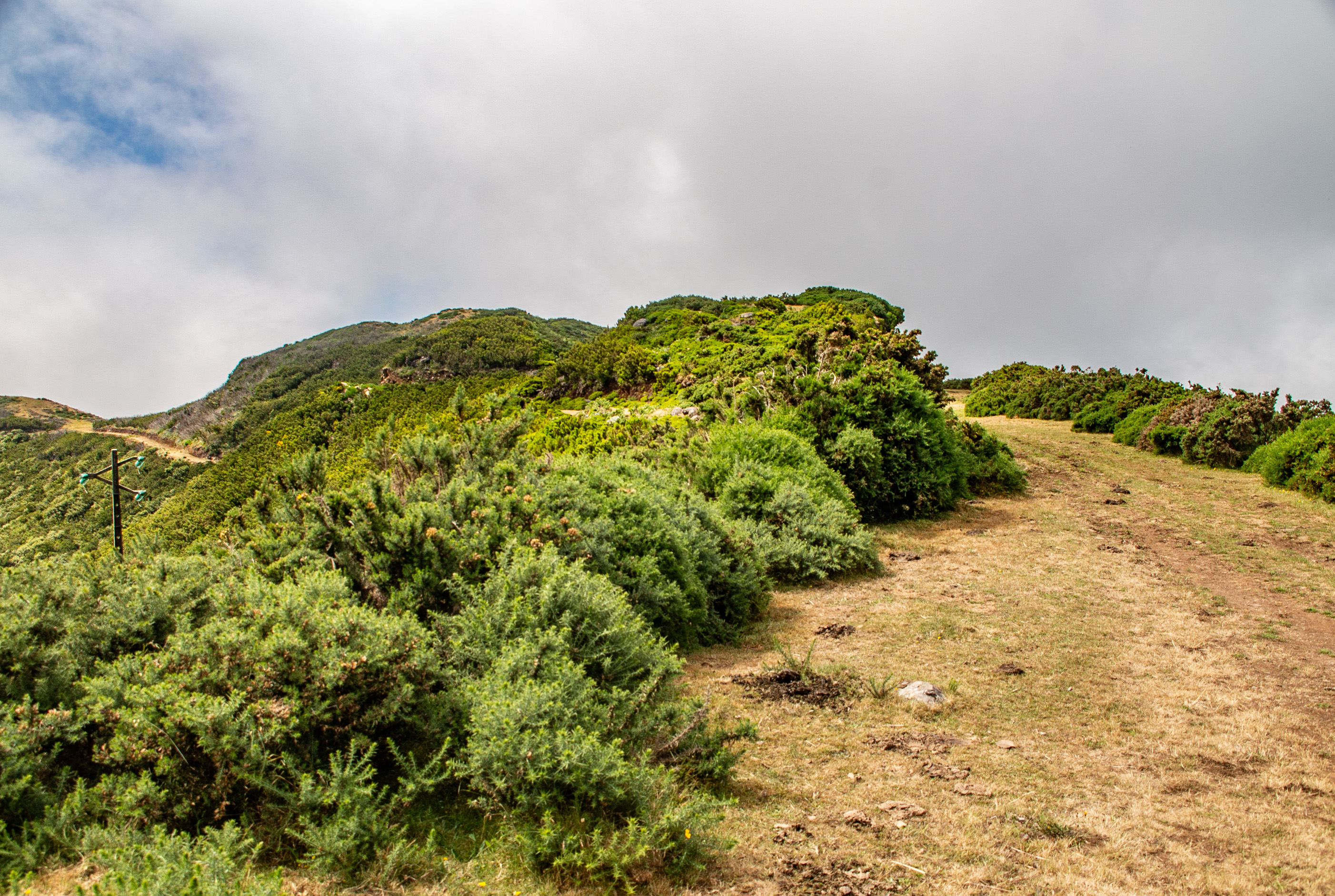
Largest plateau in Madeira: About 24 km², located in the municipality of Ponta do Sol.
Altitude: Average of 1,500 m, with the highest point at Pico do Paul (1,640 m).
Landscape: Flat terrain above the clouds, often dotted with free-roaming cows, making it feel otherworldly compared to the rest of the island’s rugged slopes.
Visibility: On clear days, both the north and south coasts can be seen from the plateau.

Endemic species such as Thymus micans (Madeiran thyme), broom, gorse, and heather dominate the plateau.

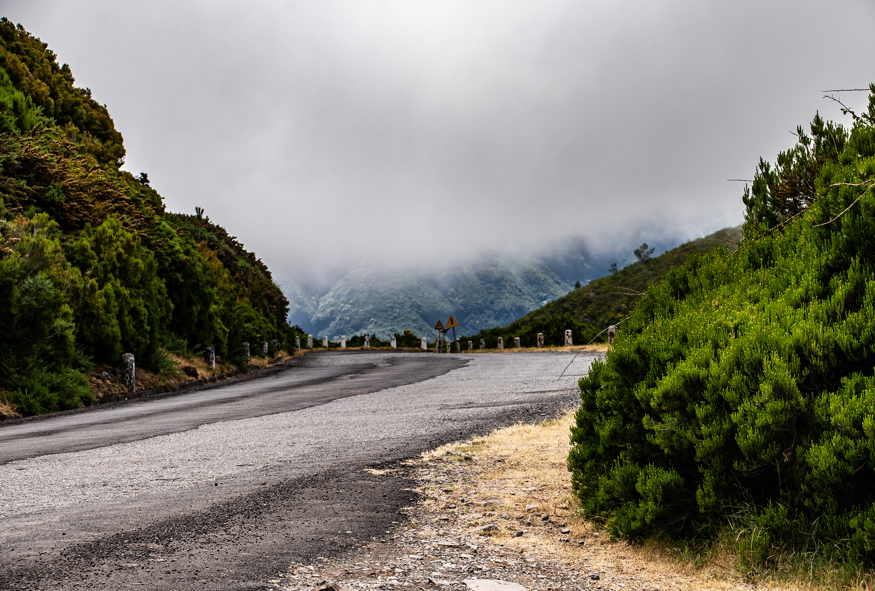
The climate is Mediterranean (Csb), but with over 240 foggy days per year, high humidity, and frequent rainfall.

The plateau’s flat structure helps rainfall infiltrate, making it vital for Madeira’s water supply.

References

/en.wikipedia.orgblog.madeira.bestvisitmadeira.com , Text generated by Microsoft CoPilot
To the top
Powered by w3.css. The images are all stored on link to www.gaylard.co.uk Photostream on Flickr   This website is hosted by link to 123Reg Web Hosting