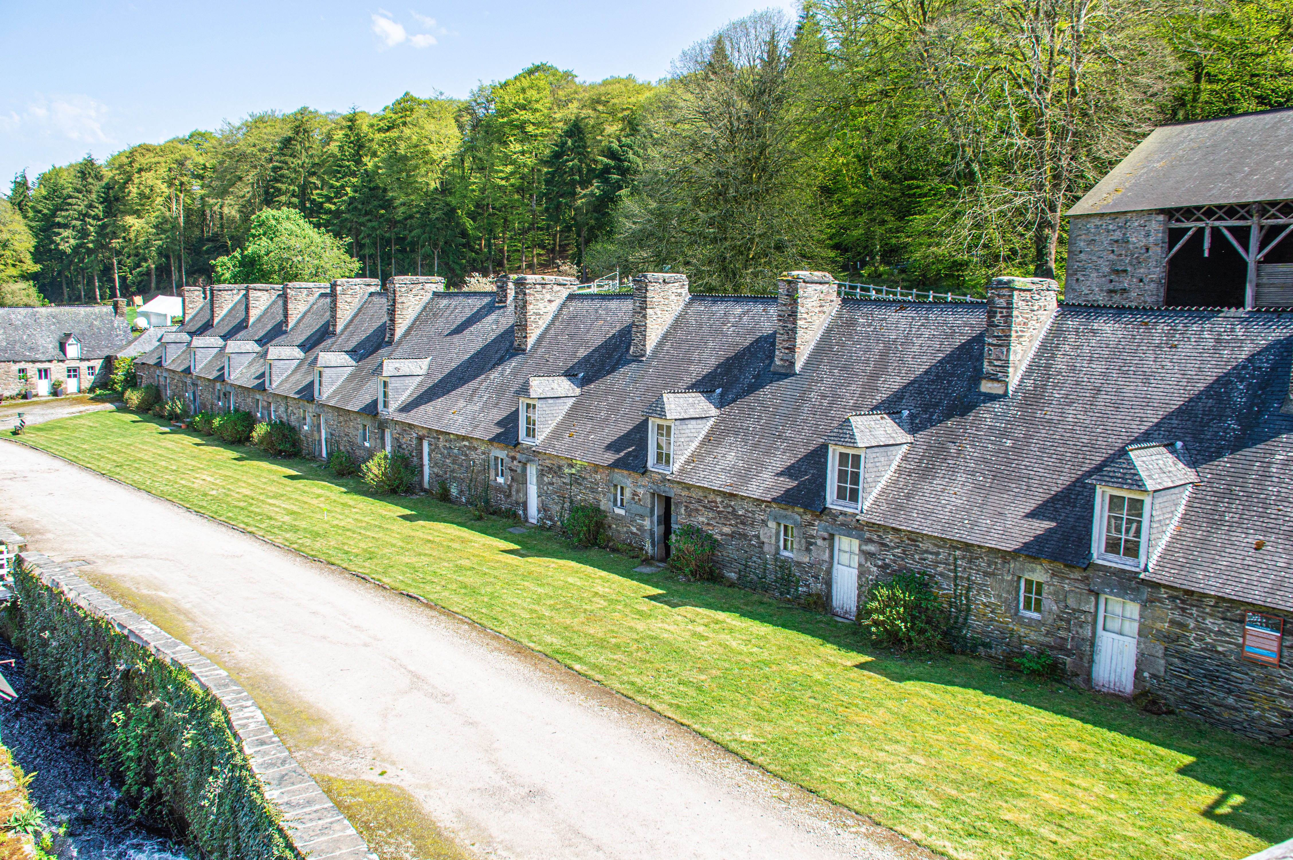
HOME Abbeye de bon Repos Cap Frehel Quintin Concarneau Dinan Forges Des Salles Fort La Latte Pont Aven Pontivy Rennes Paris Lille France Portfolio of Things Portfolio of Places Home ABOUT CONTACT

www.mgaylard.co.uk

Brittany

Brittany

Abbeye de Bon Repos

Abbeye de Bon Repos 1
Abbeye de Bon Repos 3
Canal Lock at Abbeye de Bon Repos
map of location
About Abbeye de Bon Repos

Abbaye de Bon-Repos is a captivating historical site nestled on the banks of the Nantes–Brest canal near Lake Guerlédan in central Brittany. Founded in the 12th century as a Cistercian abbey and later modified in the 18th century, it embodies a rich tapestry of history and art set in a serene, protected environment. Its architecture and tranquil surroundings offer a restorative stopover where the passage of centuries is palpable amid contemporary cultural programs .

Today, the abbey functions as much more than a relic of the past—it’s a vibrant venue hosting exhibitions, artist residencies, and community events. This blend of medieval monastic legacy with modern artistic expression invites visitors to explore not only the architectural beauty and historical significance of the site but also to experience its dynamic role in contemporary cultural life. Whether you’re drawn by a love for history, art, or simply the lure of a peaceful retreat, Abbaye de Bon-Repos manages to weave these elements into one engaging experience .

References

Text generated by Microsoft CoPilot

Cap Fréhel

Cap Fréhel
Cap Fréhel>
Phare du Cap Fréhel
La fauconnière
La fauconnière
Phare du Cap Fréhel
Phare Vauban
Phare Vauban
Cap Fréhel
Cap Fréhel
Cap Fréhel
Cap Fréhel
Cap Fréhel
Cap Fréhel
Cap Fréhel
Cap Fréhel
map of location
About Cap Fréhel

Cap Fréhel is a stunning peninsula in Brittany, France, known for its dramatic cliffs, breathtaking views, and rich wildlife. Rising over 70 meters above the sea, the pink sandstone and shale cliffs offer one of the most spectacular panoramas in the region.

The cape is home to an exceptional bird reserve, where you can spot species like razorbills, cormorants, and herring gulls.

There are two lighthouses, one dating back to the 17th century and another built in 1950.

Fort La Latte: A medieval fortress nearby, often used as a filming location for historical movies.

The GR34 coastal path leads to breathtaking viewpoints, stretching from Jersey to Paimpol.

References

Text generated by Microsoft CoPilot

Quintin

Basilique Notre Dame De Délivrance 01
Basilique Notre Dame De Délivrance Interior 03
Where the sun shines there is hope 3
Where the sun shines there is hope
Where the sun shines there is hope 2
Basilique Notre Dame De Délivrance Interior 01
>
Place de la Mairie 2
Place de la Mairie
Place 1830
Basilique Notre Dame De Délivrance Interior 02
Rue Notre Dame
map of location
About Quintin

Quintin is a charming medieval town in Brittany, France, known for its rich history, two castles, and textile heritage. It earned the title of Petite Cité de Caractère® due to its well-preserved architecture and cultural significance.

The town boasts two castles, one from the 13th century and another from the 17th century, though the latter was never fully completed.

Quintin was once a major center for linen weaving, exporting fine cloth as far as America in the 17th and 18th centuries.

Quintin is a charming medieval town in Brittany, France, known for its rich history, two castles, and textile heritage. It earned the title of Petite Cité de Caractère® due to its well-preserved architecture and cultural significance.

References

Text generated by Microsoft CoPilot
>
map of location

About Brittany

Brittany is a peninsula, historical country, and cultural area in the west of modern France, covering the western part of what was known as Armorica during the period of Roman occupation. It became an independent kingdom and then a duchy before being united with the Kingdom of France in 1532 as a province governed as a separate nation under the crown.

The word Brittany, along with its French, Breton and Gallo equivalents Bretagne, Breizh and Bertaèyn, derive from the Latin Britannia, which means "land of the Britons". This word had been used by the Romans since the 1st century to refer to Great Britain, and more specifically the Roman province of Britain. This word derives from a Greek word used by Pytheas, an explorer from Massalia who visited the British Isles around 320 BC.

The Romans called Brittany Armorica. It was a quite indefinite region that extended along the English Channel coast from the Seine estuary, then along the Atlantic coast to the Loire estuary and, according to several sources, maybe to the Garonne estuary. This term probably comes from a Gallic word, aremorica, which means "close to the sea".[11] Another name, Letauia (in English "Litavis"), was used until the 12th century. It possibly means "wide and flat" or "to expand" and it gave the Welsh name for Brittany: Llydaw.

en.wikipedia.org
To the top
Powered by w3.css. The images are all stored on link to www.gaylard.co.uk Photostream on Flickr  This website is hosted by link to 123Reg Web Hosting