HOME England Croatia Cuba Egypt France Gibraltar Greece Italy Madeira Montenegro Portugal Spain Turkey PersianGulf USA Portfolio of Places Portfolio of Things ABOUT CONTACT

www.mgaylard.co.uk

Split, Croatia

Split, Croatia

image

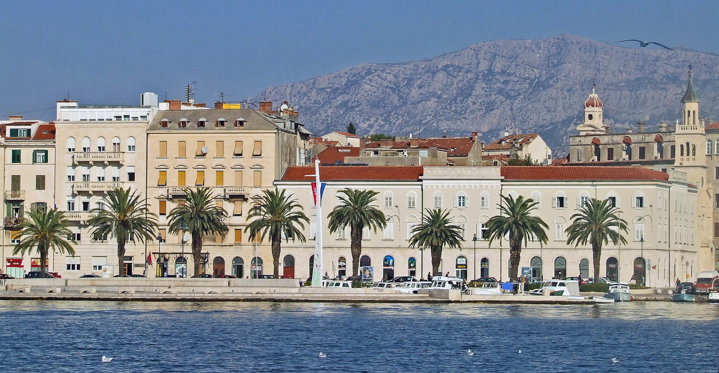
Marina and Harbour

image

Ferry Port

image

Coastline Approach

image

Ciovo island

image

Church and Convent of St. Francis

image

Church and Convent of St. Francis

image

Church and Convent of St. Francis

image

Riva

image

Diocletian's Palace Walls

Diocletian's Palace - Basement

Diocletian's Palace Cellar

image

Diocletian's Palace Cellar

image

Roman Walls

image

Poljana kraljice Jelene

image

Peristil

image

Selling Tours

image

Vomitorium Walls

image

Saint Dominus Bell Tower

image

Saint Dominus Bell Tower

image

Singers

image

Vestibule Dome

image

Vestibule

image

Vestibule

image

Roman Walls

image

Roman Walls

image

Lunch

image

Narrow Streets

image

Narodni trg

image

Stara gradska vijecnica

image

Narodni trg

204-2.jpg

Trg Brace Radic

Open the full set Flickr Logo this page
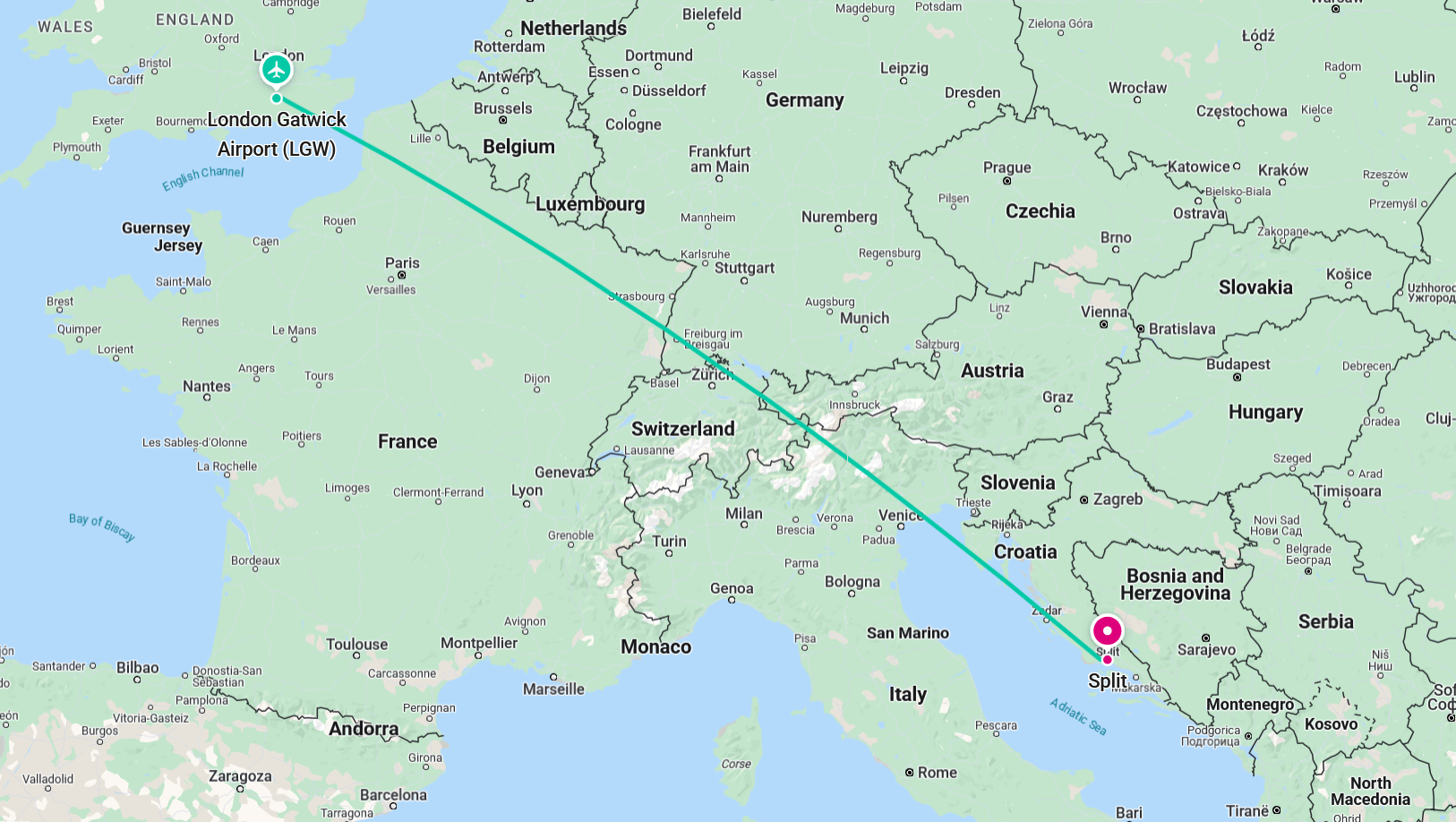
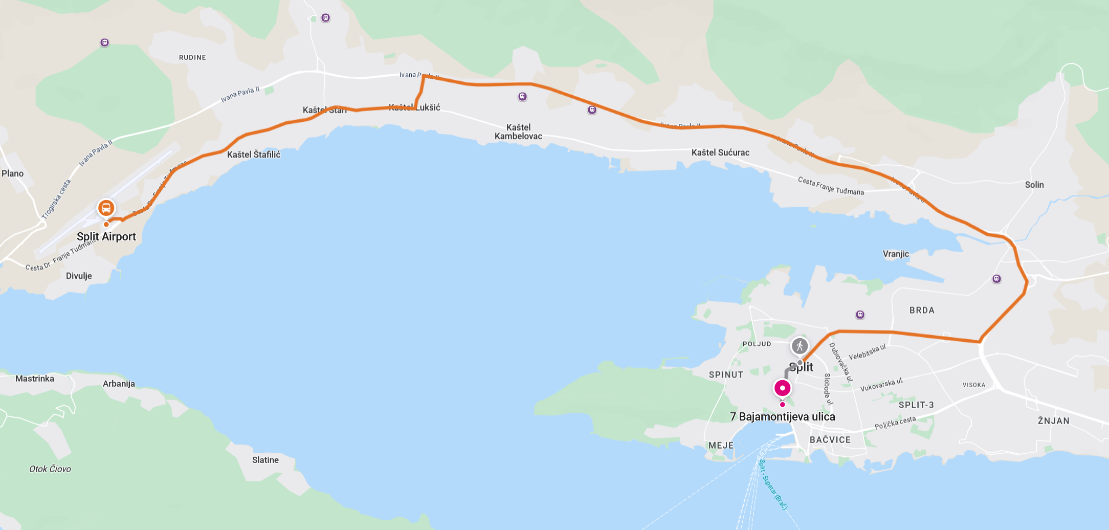
google map for Croatia, Split

Croatia, Split

About Split

The city was founded as the Greek colony of Aspálathos in the 3rd or 2nd century BC on the coast of the Illyrian Dalmatae, and later on was home to Diocletian's Palace, built for the Roman emperor in AD 305. It became a prominent settlement around 650 when it succeeded the ancient capital of the Roman province of Dalmatia, Salona. After the sack of Salona by the Avars and Slavs, the fortified Palace of Diocletian was settled by Roman refugees. Split became a Byzantine city. Later it drifted into the sphere of the Republic of Venice and the Kingdom of Croatia, with the Byzantines retaining nominal suzerainty. For much of the High and Late Middle Ages, Split enjoyed autonomy as a free city of the Dalmatian city-states, caught in the middle of a struggle between Venice and Croatia for control over the Dalmatian cities.

en.wikipedia.org